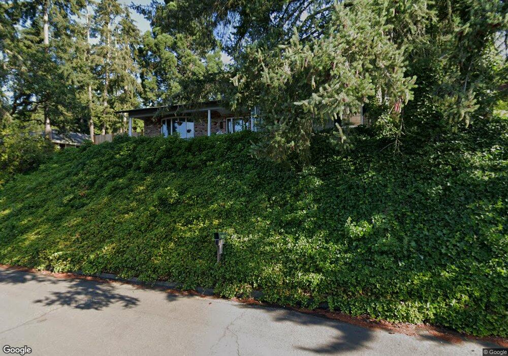
1865 Tigertail Rd Eugene, OR 97405
Crest Drive NeighborhoodEstimated Value: $608,274 - $735,000
5
Beds
3
Baths
2,507
Sq Ft
$265/Sq Ft
Est. Value
About This Home
This home is located at 1865 Tigertail Rd, Eugene, OR 97405 and is currently estimated at $664,819, approximately $265 per square foot. 1865 Tigertail Rd is a home located in Lane County with nearby schools including Adams Elementary School, Arts And Technology Academy At Jefferson, and Churchill High School.
Ownership History
Date
Name
Owned For
Owner Type
Purchase Details
Closed on
Oct 28, 2019
Sold by
Schneider John Paul and Schneider Julie Marie
Bought by
Schneider Julie M
Current Estimated Value
Home Financials for this Owner
Home Financials are based on the most recent Mortgage that was taken out on this home.
Original Mortgage
$301,200
Outstanding Balance
$264,367
Interest Rate
3.7%
Mortgage Type
New Conventional
Estimated Equity
$400,452
Purchase Details
Closed on
Dec 17, 2015
Sold by
Altenhofen Gordon Ralph
Bought by
Schneider John Paul and Schneider Julie Marie
Home Financials for this Owner
Home Financials are based on the most recent Mortgage that was taken out on this home.
Original Mortgage
$255,200
Interest Rate
3.83%
Mortgage Type
New Conventional
Purchase Details
Closed on
Aug 21, 2002
Sold by
Altenhofen Gordon Ralph and Altenhofen Kathryn Margaret
Bought by
Altenhofen Gordon Ralph and Altenhofen Kathryn Margaret
Create a Home Valuation Report for This Property
The Home Valuation Report is an in-depth analysis detailing your home's value as well as a comparison with similar homes in the area
Home Values in the Area
Average Home Value in this Area
Purchase History
| Date | Buyer | Sale Price | Title Company |
|---|---|---|---|
| Schneider Julie M | -- | First American Title | |
| Schneider John Paul | $319,000 | Fidelity Natl Title Co Of Or | |
| Altenhofen Gordon Ralph | -- | -- |
Source: Public Records
Mortgage History
| Date | Status | Borrower | Loan Amount |
|---|---|---|---|
| Open | Schneider Julie M | $301,200 | |
| Closed | Schneider John Paul | $255,200 |
Source: Public Records
Tax History
| Year | Tax Paid | Tax Assessment Tax Assessment Total Assessment is a certain percentage of the fair market value that is determined by local assessors to be the total taxable value of land and additions on the property. | Land | Improvement |
|---|---|---|---|---|
| 2025 | $6,954 | $356,887 | -- | -- |
| 2024 | $6,867 | $346,493 | -- | -- |
| 2023 | $6,867 | $336,401 | $0 | $0 |
| 2022 | $6,433 | $326,603 | $0 | $0 |
| 2021 | $6,042 | $317,091 | $0 | $0 |
| 2020 | $5,924 | $307,856 | $0 | $0 |
| 2019 | $5,697 | $298,890 | $0 | $0 |
| 2018 | $5,391 | $281,733 | $0 | $0 |
| 2017 | $5,084 | $281,733 | $0 | $0 |
| 2016 | $4,856 | $273,527 | $0 | $0 |
| 2015 | $4,745 | $265,560 | $0 | $0 |
| 2014 | $4,634 | $257,825 | $0 | $0 |
Source: Public Records
Map
Nearby Homes
- 2030 W 34th Ave
- 0 Mclean Blvd Unit 24671448
- 0 Mclean Blvd Unit 697374759
- 3023 Ashley Loop
- 1783 Graham Dr
- 3093 Soloman Loop
- 2850 Garfield St
- 2673 Garfield St
- 2225 W 28th Ave
- 3087 Whitbeck Blvd
- 2455 W 29th Ave
- 2315 W 28th Ave
- 2037 Morning View Dr
- 3160 Whitten Dr
- 2323 W 28th Ave
- 0 W 40th Ave Unit 3 545854116
- 0 W 40th Ave Unit 3 639571582
- 2572 W 28th Ave
- 1 Storey Blvd
- 2 Storey Blvd
- 1870 W 34th Ave
- 1825 Tigertail Rd
- 1895 Tigertail Rd
- 1870 Tigertail Rd
- 1850 Tigertail Rd
- 1890 Tigertail Rd
- 1892 W 34th Ave
- 1915 Tigertail Rd
- 1810 Tigertail Rd
- 1830 Tigertail Rd
- 1820 Tigertail Rd
- 1910 Tigertail Rd
- 1875 W 34th Ave
- 1900 W 34th Ave
- 1935 Tigertail Rd
- 1930 Tigertail Rd
- 3410 Grant St
- 3430 Grant St
- 1885 W 34th Ave
- 3450 Grant St
Your Personal Tour Guide
Ask me questions while you tour the home.