18655 Highway 71 NE New London, MN 56273
Estimated Value: $502,000 - $651,000
--
Bed
--
Bath
2,636
Sq Ft
$222/Sq Ft
Est. Value
About This Home
This home is located at 18655 Highway 71 NE, New London, MN 56273 and is currently estimated at $584,438, approximately $221 per square foot. 18655 Highway 71 NE is a home located in Kandiyohi County with nearby schools including Prairie Woods Elementary School, New London-Spicer Middle School, and New London-Spicer Senior High School.
Ownership History
Date
Name
Owned For
Owner Type
Purchase Details
Closed on
Dec 22, 2015
Sold by
Rupp Darrel M and Rupp Diane C
Bought by
Montpetit Kimberly D and Rupp Phillip D
Current Estimated Value
Purchase Details
Closed on
Dec 27, 2005
Sold by
Samuelso Harold M and Samuelson La Von M
Bought by
Samuelson Errol V
Create a Home Valuation Report for This Property
The Home Valuation Report is an in-depth analysis detailing your home's value as well as a comparison with similar homes in the area
Home Values in the Area
Average Home Value in this Area
Purchase History
| Date | Buyer | Sale Price | Title Company |
|---|---|---|---|
| Montpetit Kimberly D | -- | -- | |
| Montpetit Kimberly D | -- | -- | |
| Samuelson Errol V | -- | None Available |
Source: Public Records
Tax History Compared to Growth
Tax History
| Year | Tax Paid | Tax Assessment Tax Assessment Total Assessment is a certain percentage of the fair market value that is determined by local assessors to be the total taxable value of land and additions on the property. | Land | Improvement |
|---|---|---|---|---|
| 2025 | $5,686 | $558,500 | $95,200 | $463,300 |
| 2024 | $5,206 | $519,400 | $85,200 | $434,200 |
| 2023 | $4,768 | $482,000 | $62,000 | $420,000 |
| 2022 | $4,796 | $446,300 | $62,000 | $384,300 |
| 2021 | $4,090 | $382,500 | $56,400 | $326,100 |
| 2020 | $3,802 | $358,000 | $56,400 | $301,600 |
| 2019 | $3,418 | $335,800 | $56,400 | $279,400 |
| 2018 | $3,174 | $302,400 | $52,400 | $250,000 |
| 2017 | $2,892 | $290,700 | $49,400 | $241,300 |
| 2016 | $2,806 | $2,578 | $0 | $0 |
| 2015 | -- | $0 | $0 | $0 |
| 2014 | -- | $0 | $0 | $0 |
Source: Public Records
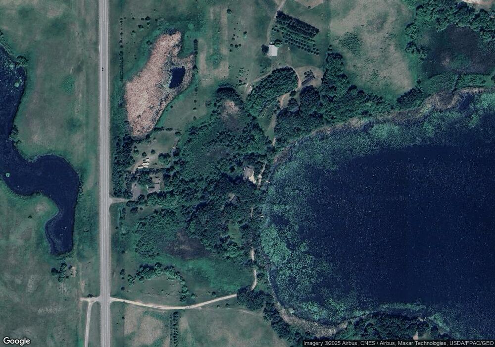
Map
Nearby Homes
- TBD Lot E Co Rd 40
- 1122 S Andrew Dr NE
- 870 S Andrew Dr NE
- TBD Lot H Co Rd 40
- TBD Pine St NW
- 232 1st Ave NW
- 108 Meadow Ln
- 104 Meadow Ln
- 122 Ridge Rd
- 206 Pine St SW
- 311 Pine St SW
- 109 1st Ave NW
- 6 Fourth Avenue Lot 9 Ave
- TBD 161st Ave NE
- 305 1st Ave SE
- 313 2nd Ave NE
- 4539 141st Ave NE
- 22869 5th St NW
- 196633 County Road 9 NE
- 19663 County Road 9 NE
- 18651 Highway 71 NE
- 18801 Highway 71 NE
- 18661 Highway 71 NE
- 19273 Highway 71 NE
- 2834 County Road 40 NE
- 2840 County Road 40 NE
- 3405 195th Ave NE
- 2801 195th Ave NE
- 2689 195th Ave NE
- 2860 County Road 40 NE
- xxx Highway 71 NE
- 2620 195th Ave NE
- 3501 195th Ave NE
- 2878 County Road 40 NE
- 3176 195th Ave NE
- 3330 County Road 40 NE
- Xx Section 29 Roseville Township
- 3629 195th Ave NE
- 3642 195th Ave NE
- 3825 Co Rd 40 NE