1866 155th St West Point, IA 52656
Estimated Value: $271,000 - $400,438
3
Beds
2
Baths
1,454
Sq Ft
$221/Sq Ft
Est. Value
About This Home
This home is located at 1866 155th St, West Point, IA 52656 and is currently estimated at $321,860, approximately $221 per square foot. 1866 155th St is a home located in Lee County with nearby schools including Central Lee Elementary School, Central Lee Middle School, and Central Lee High School.
Ownership History
Date
Name
Owned For
Owner Type
Purchase Details
Closed on
Dec 23, 2010
Sold by
Kruse Jacob B and Kruse Jennifer E
Bought by
Wellman Julie A and Anderson James D
Current Estimated Value
Home Financials for this Owner
Home Financials are based on the most recent Mortgage that was taken out on this home.
Original Mortgage
$136,000
Outstanding Balance
$91,124
Interest Rate
4.5%
Mortgage Type
New Conventional
Estimated Equity
$230,736
Create a Home Valuation Report for This Property
The Home Valuation Report is an in-depth analysis detailing your home's value as well as a comparison with similar homes in the area
Home Values in the Area
Average Home Value in this Area
Purchase History
| Date | Buyer | Sale Price | Title Company |
|---|---|---|---|
| Wellman Julie A | $170,000 | -- |
Source: Public Records
Mortgage History
| Date | Status | Borrower | Loan Amount |
|---|---|---|---|
| Open | Wellman Julie A | $136,000 |
Source: Public Records
Tax History Compared to Growth
Tax History
| Year | Tax Paid | Tax Assessment Tax Assessment Total Assessment is a certain percentage of the fair market value that is determined by local assessors to be the total taxable value of land and additions on the property. | Land | Improvement |
|---|---|---|---|---|
| 2024 | $3,890 | $313,620 | $48,400 | $265,220 |
| 2023 | $3,608 | $313,620 | $48,400 | $265,220 |
| 2022 | $3,112 | $244,480 | $36,700 | $207,780 |
| 2021 | $3,112 | $244,480 | $36,700 | $207,780 |
| 2020 | $3,288 | $240,720 | $38,900 | $201,820 |
| 2019 | $3,226 | $240,720 | $38,900 | $201,820 |
| 2018 | $2,498 | $174,870 | $0 | $0 |
| 2017 | $2,408 | $165,050 | $0 | $0 |
| 2016 | $2,252 | $165,050 | $0 | $0 |
| 2015 | $2,252 | $157,350 | $0 | $0 |
| 2014 | $2,178 | $157,350 | $0 | $0 |
Source: Public Records
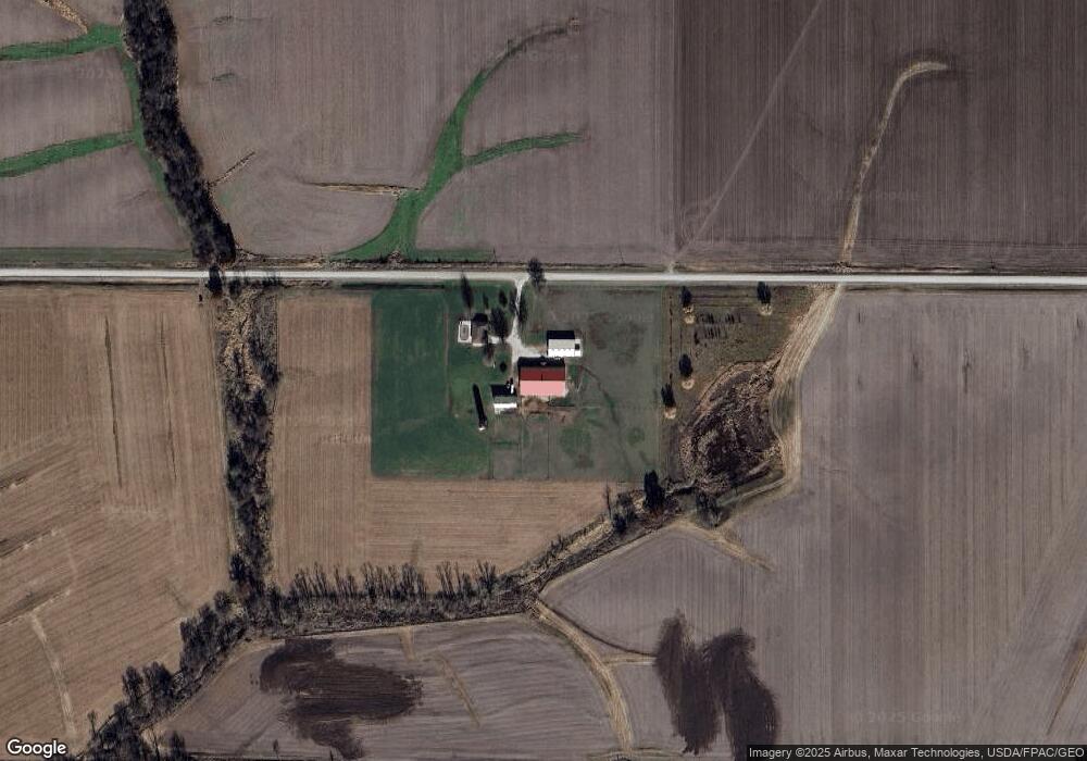
Map
Nearby Homes
- 1794 150th St
- 00 180th St
- 2280 Windmill Way
- 2257 Burt Rd
- 607 Bel Air Dr
- 811 Avenue C
- 2113 204th Ave
- 808 Park St
- 808 Pershing St
- 603 Fruit St
- 1405 Primrose Rd
- 720 Pershing St
- 219 Dewey Ave
- 115 Lynn St
- 1847 Salem Rd
- 2229 235th St
- 307 E School St
- 2657 Clearview Heights Rd
- 2928 Graham Ave
- 3035 New London Rd
- 1826 155th St
- 1884 County Road 103
- 1928 155th St
- 1551 U S 218
- 1551 Highway 218
- 1551 180th Ave
- 1549 180th Ave
- 1543 180th Ave
- 1567 180th Ave
- 1565 180th Ave
- 1537 180th Ave
- 0 Hwy 103
- 0 Highway 103
- 0 160th St
- 1525 Highway 218
- 1 Pilot Grove Rd & 155th St
- 1877 150th St
- 1835 150th St
- 1546 Pilot Grove Rd
- 1583 Pilot Grove Rd