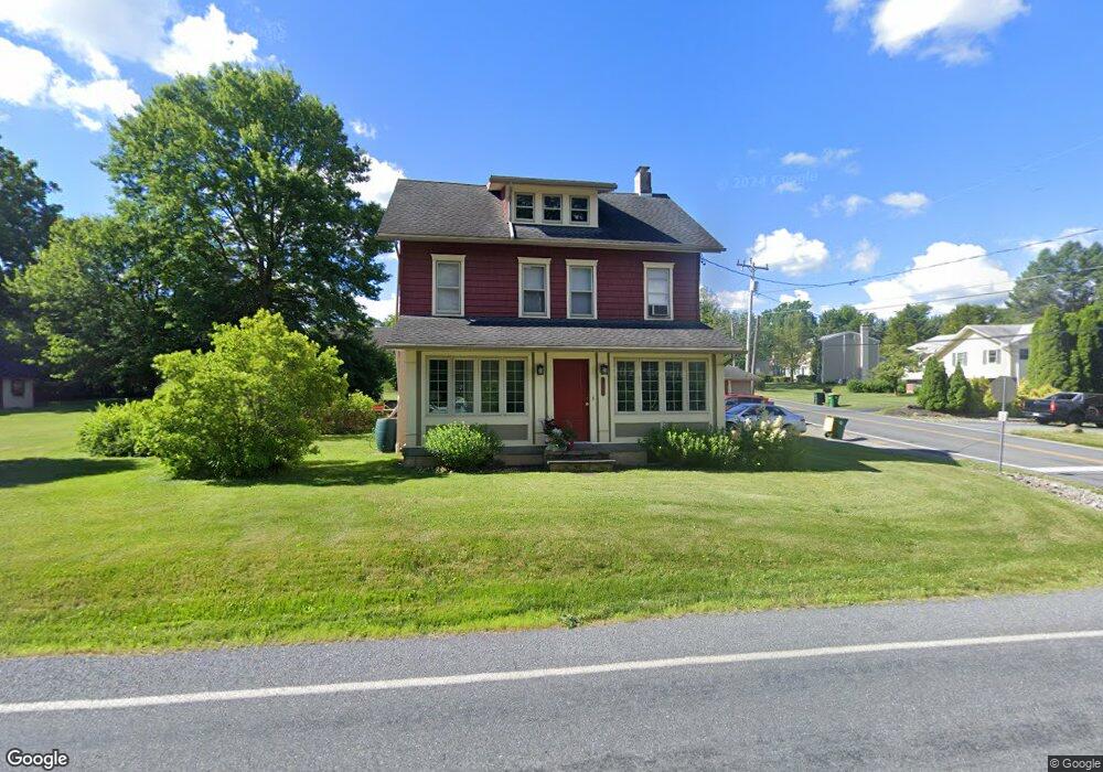
1866 Riverbend Rd Allentown, PA 18103
Lower Macungie Township East NeighborhoodEstimated Value: $334,710 - $413,000
4
Beds
2
Baths
1,456
Sq Ft
$257/Sq Ft
Est. Value
About This Home
This home is located at 1866 Riverbend Rd, Allentown, PA 18103 and is currently estimated at $373,928, approximately $256 per square foot. 1866 Riverbend Rd is a home located in Lehigh County with nearby schools including Wescosville Elementary School, Lower Macungie Middle School, and Emmaus High School.
Ownership History
Date
Name
Owned For
Owner Type
Purchase Details
Closed on
Sep 3, 2021
Sold by
Bolesta Kevin C and Bolesta Karen D
Bought by
Bolesta Karen D
Current Estimated Value
Purchase Details
Closed on
Jun 22, 1994
Sold by
Wenrich Steven L and Wenrich Rita Y
Bought by
Bolesta Kevin C and Bolesta Karen D
Purchase Details
Closed on
Aug 21, 1990
Sold by
Jackson Jeffery
Bought by
Wenrich Steven L and Wenrich Rita Y
Purchase Details
Closed on
Sep 9, 1985
Sold by
Lamm Carl V and Lamm Doris M
Bought by
Jackson Jeffery
Purchase Details
Closed on
May 18, 1979
Bought by
Lamm Carl and Lamm Doris M
Create a Home Valuation Report for This Property
The Home Valuation Report is an in-depth analysis detailing your home's value as well as a comparison with similar homes in the area
Home Values in the Area
Average Home Value in this Area
Purchase History
| Date | Buyer | Sale Price | Title Company |
|---|---|---|---|
| Bolesta Karen D | -- | None Available | |
| Bolesta Kevin C | $124,000 | -- | |
| Wenrich Steven L | $112,000 | -- | |
| Jackson Jeffery | $77,500 | -- | |
| Lamm Carl | $55,000 | -- |
Source: Public Records
Tax History Compared to Growth
Tax History
| Year | Tax Paid | Tax Assessment Tax Assessment Total Assessment is a certain percentage of the fair market value that is determined by local assessors to be the total taxable value of land and additions on the property. | Land | Improvement |
|---|---|---|---|---|
| 2025 | $3,888 | $152,300 | $66,200 | $86,100 |
| 2024 | $3,762 | $152,300 | $66,200 | $86,100 |
| 2023 | $3,687 | $152,300 | $66,200 | $86,100 |
| 2022 | $3,599 | $152,300 | $86,100 | $66,200 |
| 2021 | $3,523 | $152,300 | $66,200 | $86,100 |
| 2020 | $3,489 | $152,300 | $66,200 | $86,100 |
| 2019 | $3,430 | $152,300 | $66,200 | $86,100 |
| 2018 | $3,385 | $152,300 | $66,200 | $86,100 |
| 2017 | $3,326 | $152,300 | $66,200 | $86,100 |
| 2016 | -- | $152,300 | $66,200 | $86,100 |
| 2015 | -- | $152,300 | $66,200 | $86,100 |
| 2014 | -- | $152,300 | $66,200 | $86,100 |
Source: Public Records
Map
Nearby Homes
- 2117 Isabel Ln
- 2153 Isabel Ln
- 2096 Gregory Dr
- Henley Plan at Mountainview Estates
- Penny Plan at Mountainview Estates
- 2041 Gregory Dr
- 2300 S Cedar Crest Blvd
- 1270 Minesite Rd
- 4762 Steeplechase Dr Unit 13C
- 2518 Stanford Cir
- 2570 Millbrook Dr
- 1141 Glick Ave
- 2560 Gracie Lone
- 1045 Barnside Rd
- 4626 N Hedgerow Dr
- 5133 Meadow Ln
- 2834 Sheffield Dr
- 4881 Spruce Rd
- 5175 Meadowview Dr
- 1385 Brookside Rd
- 1862 Minesite Rd
- 1921 Riverbend Rd
- 1837 Minesite Rd
- 1900 Riverbend Rd
- 4000 Lilac Rd
- 1870 Minesite Rd
- 1910 Riverbend Rd
- 1822 Riverbend Rd
- 1931 Riverbend Rd
- 1833 Minesite Rd
- 1830 Minesite Rd
- 4016 Lilac Rd
- 1920 Riverbend Rd
- 1821 Minesite Rd
- 3986 Lilac Rd
- 1820 Minesite Rd
- 1802 Riverbend Rd
- 1951 Riverbend Rd
- 1796 Riverbend Rd
- 1807 Minesite Rd