18665 High Prairie Rd Leavenworth, KS 66048
Estimated Value: $372,000 - $434,487
4
Beds
2
Baths
1,925
Sq Ft
$209/Sq Ft
Est. Value
About This Home
This home is located at 18665 High Prairie Rd, Leavenworth, KS 66048 and is currently estimated at $402,162, approximately $208 per square foot. 18665 High Prairie Rd is a home located in Leavenworth County with nearby schools including Lansing Elementary School, Lansing Middle 6-8, and Lansing High 9-12.
Ownership History
Date
Name
Owned For
Owner Type
Purchase Details
Closed on
Nov 1, 1992
Bought by
Darting Craig A
Current Estimated Value
Home Financials for this Owner
Home Financials are based on the most recent Mortgage that was taken out on this home.
Original Mortgage
$25,900
Interest Rate
8.21%
Mortgage Type
New Conventional
Create a Home Valuation Report for This Property
The Home Valuation Report is an in-depth analysis detailing your home's value as well as a comparison with similar homes in the area
Home Values in the Area
Average Home Value in this Area
Purchase History
| Date | Buyer | Sale Price | Title Company |
|---|---|---|---|
| Darting Craig A | $107,000 | -- |
Source: Public Records
Mortgage History
| Date | Status | Borrower | Loan Amount |
|---|---|---|---|
| Closed | Darting Craig A | $25,900 | |
| Closed | Darting Craig A | $20,356 |
Source: Public Records
Tax History Compared to Growth
Tax History
| Year | Tax Paid | Tax Assessment Tax Assessment Total Assessment is a certain percentage of the fair market value that is determined by local assessors to be the total taxable value of land and additions on the property. | Land | Improvement |
|---|---|---|---|---|
| 2025 | $3,209 | $29,801 | $6,671 | $23,130 |
| 2024 | $3,001 | $28,836 | $6,221 | $22,615 |
| 2023 | $3,001 | $27,990 | $6,145 | $21,845 |
| 2022 | $2,670 | $24,098 | $5,283 | $18,815 |
| 2021 | $1,946 | $17,319 | $4,070 | $13,249 |
| 2020 | $1,784 | $15,650 | $3,884 | $11,766 |
| 2019 | $1,698 | $14,889 | $3,276 | $11,613 |
| 2018 | $1,590 | $13,970 | $3,219 | $10,751 |
| 2017 | $1,599 | $14,000 | $3,201 | $10,799 |
| 2016 | $1,602 | $14,045 | $3,105 | $10,940 |
| 2015 | $1,538 | $13,552 | $3,081 | $10,471 |
| 2014 | $1,472 | $13,218 | $3,051 | $10,167 |
Source: Public Records
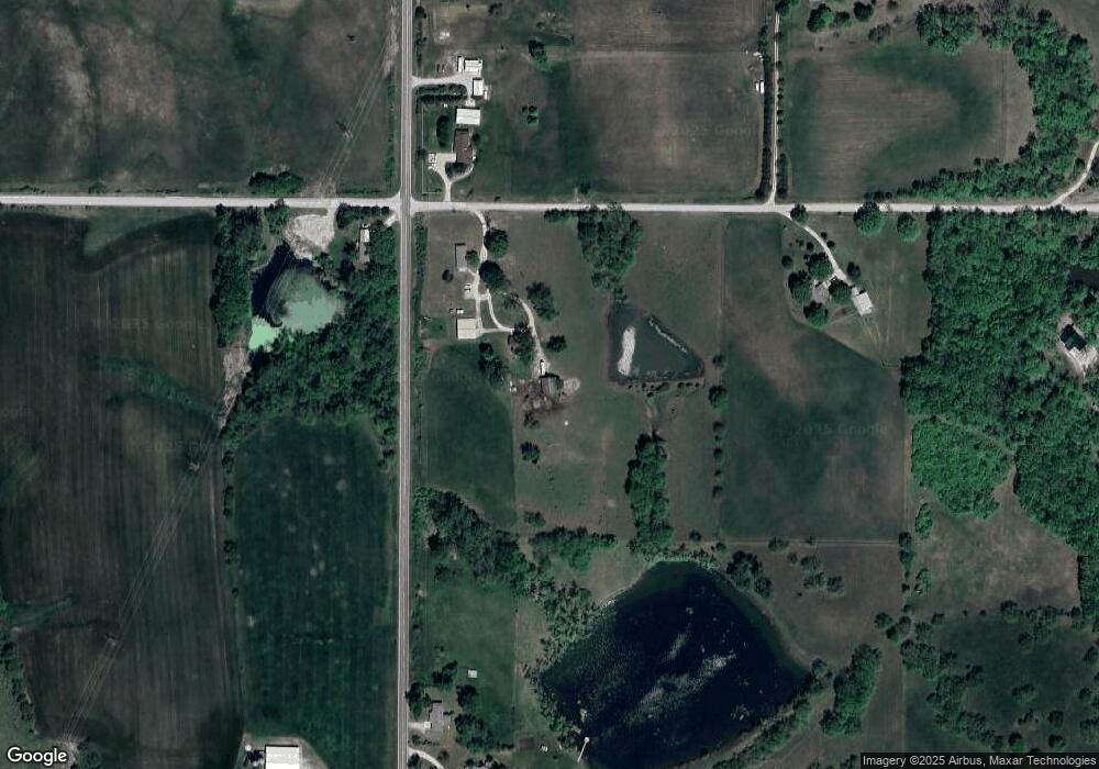
Map
Nearby Homes
- 28527 187th St
- 17739 Eisenhower Rd
- 26277 187th St
- 17096 Eisenhower Rd
- 00000 Michals Rd
- 17470 Springdale Rd
- Lot 5 195th St
- Lot 4 195th St
- Lot 5 Bauserman Rd
- 1964 Eisenhower Rd
- 503 Limit St
- 4236 Clayton Ct
- 2151 Shenandoah Dr
- 25770 Tonganoxie Dr
- 0000 Eisenhower Rd
- 2150 Shenandoah Dr
- 3703 Clayton Dr
- 2248 Vilas St
- Lot 3 179th St
- Lot 2 179th St
- 18725 High Prairie Rd
- 18698 High Prairie Rd
- 27702 187th St
- 27376 187th St
- 18547 High Prairie Rd
- 27362 187th St
- 27319 187th St
- 18381 High Prairie Rd
- 18452 High Prairie Rd
- 27278 187th St
- 27703 187th St
- 27244 187th St
- 27838 187th St
- 18318 High Prairie Rd
- 27225 187th St
- 27212 187th St
- 19015 High Prairie Rd
- 19010 High Prairie Rd
- 27907 187th St
- 19008 High Prairie Rd