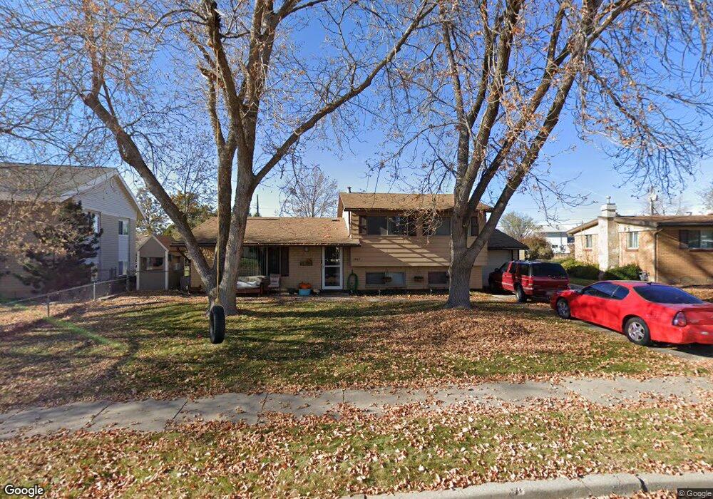
1867 N Mark St Layton, UT 84041
Estimated Value: $390,000 - $414,937
3
Beds
2
Baths
1,170
Sq Ft
$342/Sq Ft
Est. Value
About This Home
This home is located at 1867 N Mark St, Layton, UT 84041 and is currently estimated at $400,234, approximately $342 per square foot. 1867 N Mark St is a home located in Davis County with nearby schools including Vae View Elementary School, Central Davis Junior High School, and Layton High School.
Ownership History
Date
Name
Owned For
Owner Type
Purchase Details
Closed on
Jun 27, 2006
Sold by
Christensen Cynthia and Moklofsky Jeannette
Bought by
Duffin Cory L and Duffin Amy W
Current Estimated Value
Home Financials for this Owner
Home Financials are based on the most recent Mortgage that was taken out on this home.
Original Mortgage
$15,000
Interest Rate
6.18%
Mortgage Type
Stand Alone Second
Create a Home Valuation Report for This Property
The Home Valuation Report is an in-depth analysis detailing your home's value as well as a comparison with similar homes in the area
Home Values in the Area
Average Home Value in this Area
Purchase History
| Date | Buyer | Sale Price | Title Company |
|---|---|---|---|
| Duffin Cory L | -- | Bonneville Superior Title Co |
Source: Public Records
Mortgage History
| Date | Status | Borrower | Loan Amount |
|---|---|---|---|
| Closed | Duffin Cory L | $15,000 | |
| Open | Duffin Cory L | $112,800 |
Source: Public Records
Tax History Compared to Growth
Tax History
| Year | Tax Paid | Tax Assessment Tax Assessment Total Assessment is a certain percentage of the fair market value that is determined by local assessors to be the total taxable value of land and additions on the property. | Land | Improvement |
|---|---|---|---|---|
| 2025 | $2,033 | $213,400 | $110,823 | $102,577 |
| 2024 | $1,997 | $211,200 | $132,167 | $79,033 |
| 2023 | $1,921 | $358,000 | $167,474 | $190,526 |
| 2022 | $2,081 | $210,650 | $79,658 | $130,992 |
| 2021 | $1,888 | $285,000 | $114,946 | $170,054 |
| 2020 | $1,547 | $224,000 | $85,532 | $138,468 |
| 2019 | $1,544 | $219,000 | $82,245 | $136,755 |
| 2018 | $1,348 | $192,000 | $76,153 | $115,847 |
| 2016 | $1,173 | $86,185 | $21,459 | $64,726 |
| 2015 | $1,129 | $78,705 | $21,459 | $57,246 |
| 2014 | $1,153 | $82,228 | $21,459 | $60,769 |
| 2013 | -- | $78,896 | $20,680 | $58,216 |
Source: Public Records
Map
Nearby Homes
- 1992 W Afton Cir
- 1954 Ann St
- 1740 N Gregory Dr
- 1596 N Main St Unit 2
- 1916 W Gregory Dr
- 1937 W 1620 N
- 1900 N 1690 W
- 2114 S 825 E
- 1665 W 1960 N
- 1430 N 2100 W
- 1606 W 1960 N
- 1491 N 1875 W
- 1491 N 1875 W Unit 158
- 1487 N 1875 W
- 1487 N 1875 W Unit 159
- 1476 N 1875 W Unit 164
- 1650 N Main St Unit 126
- 1483 N 1875 W
- 1479 N 1875 W
- 1479 N 1875 W Unit 161
- 2074 W Mark St
- 1851 N Mark St
- 1884 N Celia Way
- 1900 N Celia Way
- 2064 W Mark St
- 1870 N Celia Way
- 1856 N Celia Way
- 1866 N Mark St
- 1930 N Celia Way
- 1850 N Mark St
- 1844 N Celia Way
- 2057 W Mark St
- 2054 W Mark St
- 1834 N Mark St
- 2093 W Celia Way
- 1821 N Mark St
- 2081 W Celia Way
- 1830 N Celia Way
- 2041 W Mark St
- 1818 N Mark St