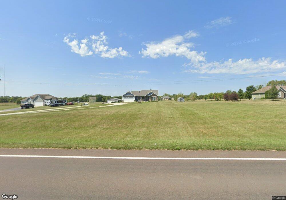
18670 Linwood Rd Linwood, KS 66052
Estimated Value: $474,000 - $576,829
3
Beds
2
Baths
1,780
Sq Ft
$288/Sq Ft
Est. Value
About This Home
This home is located at 18670 Linwood Rd, Linwood, KS 66052 and is currently estimated at $512,707, approximately $288 per square foot. 18670 Linwood Rd is a home with nearby schools including Linwood Elementary School, Basehor-Linwood Middle School, and Basehor-Linwood High School.
Ownership History
Date
Name
Owned For
Owner Type
Purchase Details
Closed on
May 7, 2024
Sold by
White William T
Bought by
Lawrence Kevin M and Lawrence Cybil A
Current Estimated Value
Purchase Details
Closed on
Mar 25, 2016
Sold by
Precision Contracting & Dev In
Bought by
White William T and White Wilma J
Home Financials for this Owner
Home Financials are based on the most recent Mortgage that was taken out on this home.
Original Mortgage
$293,059
Interest Rate
3.65%
Mortgage Type
New Conventional
Create a Home Valuation Report for This Property
The Home Valuation Report is an in-depth analysis detailing your home's value as well as a comparison with similar homes in the area
Home Values in the Area
Average Home Value in this Area
Purchase History
| Date | Buyer | Sale Price | Title Company |
|---|---|---|---|
| Lawrence Kevin M | -- | None Listed On Document | |
| White William T | $366,323 | Kansas Secured Title |
Source: Public Records
Mortgage History
| Date | Status | Borrower | Loan Amount |
|---|---|---|---|
| Previous Owner | White William T | $293,059 |
Source: Public Records
Tax History Compared to Growth
Tax History
| Year | Tax Paid | Tax Assessment Tax Assessment Total Assessment is a certain percentage of the fair market value that is determined by local assessors to be the total taxable value of land and additions on the property. | Land | Improvement |
|---|---|---|---|---|
| 2025 | $6,221 | $57,144 | $11,860 | $45,284 |
| 2024 | $5,769 | $54,748 | $11,039 | $43,709 |
| 2023 | $5,769 | $53,484 | $10,464 | $43,020 |
| 2022 | $5,200 | $46,242 | $9,368 | $36,874 |
| 2021 | $4,482 | $40,089 | $7,734 | $32,355 |
| 2020 | $4,446 | $38,881 | $7,248 | $31,633 |
| 2019 | $4,312 | $37,478 | $6,673 | $30,805 |
| 2018 | $3,795 | $33,005 | $5,523 | $27,482 |
| 2017 | $3,775 | $32,775 | $5,523 | $27,252 |
| 2016 | $1,584 | $13,943 | $5,427 | $8,516 |
| 2015 | -- | $60 | $60 | $0 |
| 2014 | -- | $5,183 | $5,183 | $0 |
Source: Public Records
Map
Nearby Homes
- 13519 185th St
- 13348 185th St
- 18494 Linwood Rd
- 0 Cantrell Rd
- 00000 174th St
- 6.20 Acres 182nd St
- 18261 Linwood Rd
- Parcel 5A SE Stanley Rd
- Parcel 3A SE Stanley Rd
- Parcel 4A SE Stanley Rd
- 17580 Cantrell Rd
- 0 174th St
- Tract 4 Golden Rd
- 00000 Cantrell Rd
- 0 Cantrell & 174th St
- 207 Bowen St
- 18068 Stillwell Rd
- LOT 5 178th St
- 0 5 Street Ct
- 00000 Lot 3 South Stillwell Rd
- 18672 Linwood Rd
- 18642 Linwood Rd
- 18669 Linwood Rd
- 18638 Linwood Rd
- 18651 Linwood Rd
- 18677 Linwood Rd
- 13530 189th St
- 13424 189th St
- 18683 Linwood Rd
- 13410 189th St
- 18697 Kreider Rd
- 18635 Linwood Rd
- 18689 Linwood Rd
- 18681 Kreider Rd
- 18693 Linwood Rd
- 18699 Linwood Rd
- 18613 Linwood Rd
- 18621 Linwood Rd
- 13567 189th St
- 18709 Linwood Rd