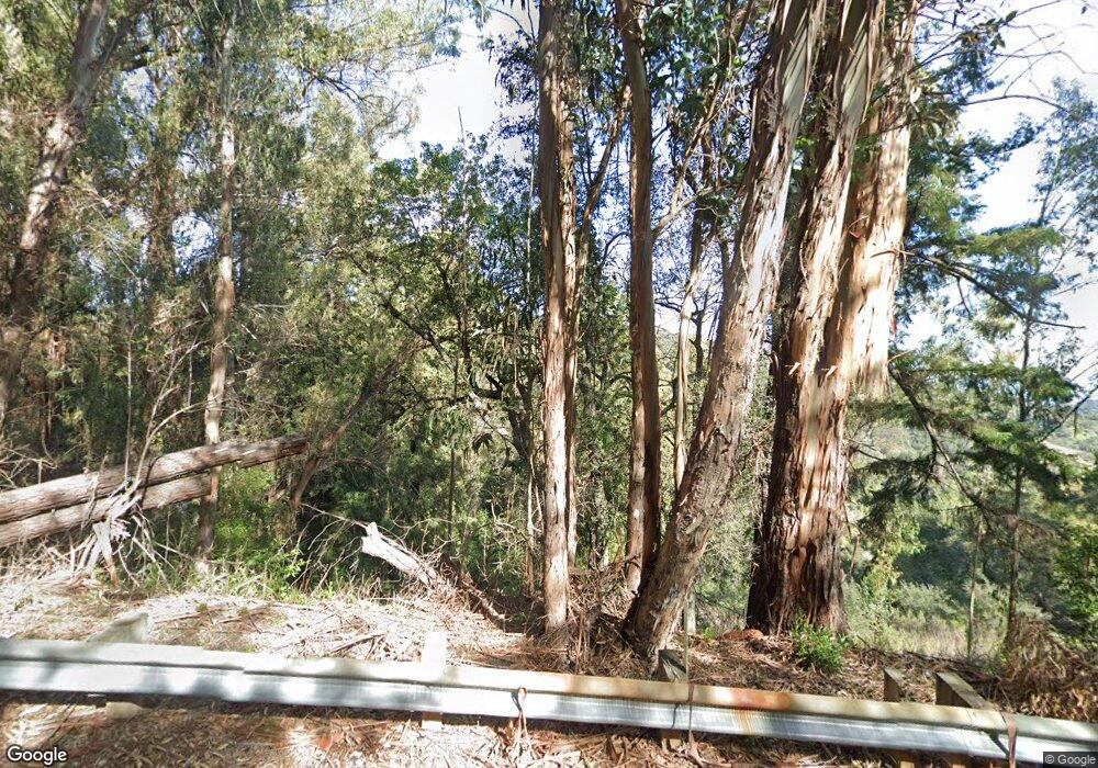
18675 Black Rd Los Gatos, CA 95033
--
Bed
--
Bath
--
Sq Ft
2.35
Acres
About This Home
This home is located at 18675 Black Rd, Los Gatos, CA 95033. 18675 Black Rd is a home located in Santa Clara County with nearby schools including Lakeside Elementary School, Los Gatos High School, and St. Mary School.
Ownership History
Date
Name
Owned For
Owner Type
Purchase Details
Closed on
Sep 23, 2015
Sold by
Landes James and Landes Cheryl
Bought by
Silicon Valley Properties Lp
Create a Home Valuation Report for This Property
The Home Valuation Report is an in-depth analysis detailing your home's value as well as a comparison with similar homes in the area
Home Values in the Area
Average Home Value in this Area
Purchase History
| Date | Buyer | Sale Price | Title Company |
|---|---|---|---|
| Silicon Valley Properties Lp | $950,000 | Stewart Title Of Ca Inc |
Source: Public Records
Tax History Compared to Growth
Tax History
| Year | Tax Paid | Tax Assessment Tax Assessment Total Assessment is a certain percentage of the fair market value that is determined by local assessors to be the total taxable value of land and additions on the property. | Land | Improvement |
|---|---|---|---|---|
| 2025 | $2,429 | $146,787 | $146,787 | -- |
| 2024 | $2,429 | $143,909 | $143,909 | -- |
| 2023 | $2,326 | $141,088 | $141,088 | $0 |
| 2022 | $2,350 | $138,322 | $138,322 | $0 |
| 2021 | $2,327 | $135,610 | $135,610 | $0 |
| 2020 | $2,293 | $134,220 | $134,220 | $0 |
| 2019 | $2,273 | $131,589 | $131,589 | $0 |
| 2018 | $2,248 | $129,009 | $129,009 | $0 |
| 2017 | $2,244 | $126,480 | $126,480 | $0 |
| 2016 | $1,855 | $124,000 | $124,000 | $0 |
| 2015 | $2,133 | $148,345 | $148,345 | $0 |
| 2014 | $2,102 | $145,440 | $145,440 | $0 |
Source: Public Records
Map
Nearby Homes
- 19150 Beardsley Rd
- 18700 Black Rd
- 18590 Black Rd
- 18650 Black Rd
- 18570+ Black Rd
- 18570 Black Rd
- 20245 Gist Rd
- 19474 Aeronaut Way
- 20406 Harvey Way
- 19850 Skyline Blvd
- 19960 Skyline Blvd
- 19179 Skyline Blvd
- Lot 42 Summit Rd
- 0 Montevina Rd
- 20715 Brush Rd
- 130 Wood Rd
- 20600 Aldercroft Heights
- 18101 Idylwild Rd
- 28 Orchard St
- 20910 Outer Zayante Rd
- 18555 Black Rd
- 18655 Black Rd
- 19099 Black Rd
- 19093 Beardsley Rd
- 19141 Beardsley Rd
- 19160 Beardsley Rd
- 19020 Oak Ct
- 19170 Beardsley Rd
- 19091 Beardsley Rd
- 19120 Laurel Dr
- 19161 Beardsley Rd
- 19130 Laurel Dr
- 19060 Laurel Dr
- 19190 Beardsley Rd
- 19180 Beardsley Rd
- 19210 Beardsley Rd
- 19151 Laurel Dr
- 19014 Oak Ct
- 19032 Oak Ct
- 19220 Beardsley Rd