1869 270th St Redding, IA 50860
Estimated Value: $46,000 - $545,000
5
Beds
1
Bath
1,056
Sq Ft
$320/Sq Ft
Est. Value
About This Home
This home is located at 1869 270th St, Redding, IA 50860 and is currently estimated at $337,531, approximately $319 per square foot. 1869 270th St is a home located in Ringgold County with nearby schools including Mount Ayr Elementary School and Mount Ayr High School.
Ownership History
Date
Name
Owned For
Owner Type
Purchase Details
Closed on
Dec 22, 2017
Sold by
Brammer Farms Corp
Bought by
Routh Matthew B and Routh Kathlyn E
Current Estimated Value
Home Financials for this Owner
Home Financials are based on the most recent Mortgage that was taken out on this home.
Original Mortgage
$112,500
Interest Rate
3.9%
Mortgage Type
Construction
Purchase Details
Closed on
Nov 5, 2014
Sold by
Stewart Julie A
Bought by
Routh Matthew B and Routh Kathryl E
Home Financials for this Owner
Home Financials are based on the most recent Mortgage that was taken out on this home.
Original Mortgage
$27,500
Interest Rate
4.21%
Mortgage Type
Future Advance Clause Open End Mortgage
Create a Home Valuation Report for This Property
The Home Valuation Report is an in-depth analysis detailing your home's value as well as a comparison with similar homes in the area
Home Values in the Area
Average Home Value in this Area
Purchase History
| Date | Buyer | Sale Price | Title Company |
|---|---|---|---|
| Routh Matthew B | $250,000 | None Available | |
| Routh Matthew B | $230,000 | None Available |
Source: Public Records
Mortgage History
| Date | Status | Borrower | Loan Amount |
|---|---|---|---|
| Closed | Routh Matthew B | $112,500 | |
| Closed | Routh Matthew B | $125,000 | |
| Previous Owner | Routh Matthew B | $27,500 |
Source: Public Records
Tax History Compared to Growth
Tax History
| Year | Tax Paid | Tax Assessment Tax Assessment Total Assessment is a certain percentage of the fair market value that is determined by local assessors to be the total taxable value of land and additions on the property. | Land | Improvement |
|---|---|---|---|---|
| 2025 | $3,208 | $274,192 | $3,727 | $270,465 |
| 2024 | $3,208 | $246,994 | $2,842 | $244,152 |
| 2023 | $3,150 | $246,994 | $2,842 | $244,152 |
| 2022 | $2,642 | $187,035 | $2,120 | $184,915 |
| 2021 | $2,642 | $182,333 | $2,120 | $180,213 |
| 2020 | $3,100 | $186,763 | $2,527 | $184,236 |
| 2019 | $2,820 | $174,891 | $16,020 | $158,871 |
| 2018 | $2,980 | $174,891 | $16,020 | $158,871 |
| 2017 | $2,980 | $174,891 | $16,020 | $158,871 |
| 2016 | $2,434 | $142,116 | $0 | $0 |
| 2015 | $2,434 | $116,460 | $0 | $0 |
| 2014 | $2,120 | $116,460 | $0 | $0 |
Source: Public Records
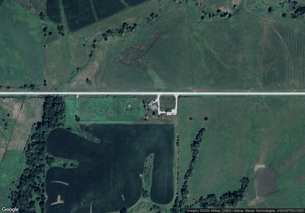
Map
Nearby Homes
- 2457 Us Highway 169
- 0 250th St
- 0 250th Streets E Unit 6321428
- 214 S Ringgold St
- 02 Highway 169
- 2935 Highway 169
- 01 Highway 169
- 405 W Monroe St
- 904 W Columbus St
- 00 Highway 169
- 2935 Highway 169
- 0 Highway 169
- 01 Highway 169
- 02 Highway 169
- 301 E Van Buren St
- 603 N West St
- 205 S Hayes St
- 2256 325th
- 505 E Monroe St
- 404 S Grant St