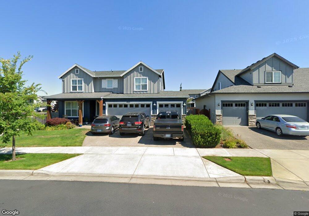
1869 Silverstone Dr Forest Grove, OR 97116
Estimated Value: $711,000 - $827,000
5
Beds
3
Baths
3,300
Sq Ft
$226/Sq Ft
Est. Value
About This Home
This home is located at 1869 Silverstone Dr, Forest Grove, OR 97116 and is currently estimated at $744,380, approximately $225 per square foot. 1869 Silverstone Dr is a home with nearby schools including Harvey Clarke Elementary School, Tom McCall Upper Elementary School, and Neil Armstrong Middle School.
Ownership History
Date
Name
Owned For
Owner Type
Purchase Details
Closed on
Aug 1, 2018
Sold by
Stone Bridge Homes Nw Llc
Bought by
Falcon Ramil Ernesto Reyes and Rodriguez Vilmarie Figueroa
Current Estimated Value
Home Financials for this Owner
Home Financials are based on the most recent Mortgage that was taken out on this home.
Original Mortgage
$435,267
Outstanding Balance
$376,433
Interest Rate
4.5%
Mortgage Type
New Conventional
Estimated Equity
$367,947
Create a Home Valuation Report for This Property
The Home Valuation Report is an in-depth analysis detailing your home's value as well as a comparison with similar homes in the area
Purchase History
| Date | Buyer | Sale Price | Title Company |
|---|---|---|---|
| Falcon Ramil Ernesto Reyes | $580,356 | First American Title |
Source: Public Records
Mortgage History
| Date | Status | Borrower | Loan Amount |
|---|---|---|---|
| Open | Falcon Ramil Ernesto Reyes | $435,267 |
Source: Public Records
Tax History
| Year | Tax Paid | Tax Assessment Tax Assessment Total Assessment is a certain percentage of the fair market value that is determined by local assessors to be the total taxable value of land and additions on the property. | Land | Improvement |
|---|---|---|---|---|
| 2026 | $7,636 | $428,810 | -- | -- |
| 2025 | $7,636 | $416,330 | -- | -- |
| 2024 | $7,367 | $404,210 | -- | -- |
| 2023 | $7,367 | $392,440 | $0 | $0 |
| 2022 | $6,441 | $392,440 | $0 | $0 |
| 2021 | $6,358 | $369,920 | $0 | $0 |
| 2020 | $6,324 | $359,150 | $0 | $0 |
| 2019 | $6,183 | $348,690 | $0 | $0 |
| 2018 | $1,145 | $64,680 | $0 | $0 |
Source: Public Records
Map
Nearby Homes
- 1952 Silverstone Dr
- 1992 Aspen Ln
- 1960 Silverstone Dr
- 1996 Aspen Ln
- 3605 Main St
- 2006 Aspen Ln
- 2043 35th Ave
- 2032 Silverstone Dr
- 3654 Ash St Unit Lot 118
- 3660 Ash St Unit Lot 117
- 2123 Colby Ln Unit Lot 74
- 2091 35th Ave
- 2081 Silverstone Dr
- 2160 36th Ave
- 2149 36th Unit Lot 59
- 2165 36th Ave Unit Lot 57
- 2129 Colby Ln Unit Lot 75
- 2117 36th Ave
- 2133 36th Ave Unit Lot 62
- 2159 Colby Ln Unit Lot 79
- 1875 Silverstone Dr
- 2465 NW Highway 47
- 3514 Arleen Ct
- 3511 Hank Ct
- 1872 Silverstone Dr
- 3432 Hank Ct
- 3524 Hank Ct
- 1857 Silverstone Dr
- 1880 Silverstone Dr
- 1883 Silverstone Dr
- 3525 Arleen Ct
- 3508 Hank Ct
- 1845 Silverstone Dr
- 1888 Silverstone Dr
- 1901 Silverstone Dr
- 3512 Hank Ct
- 3521 Arleen Ct
- 1857 35th Ave
- 3505 Arleen Ct
Your Personal Tour Guide
Ask me questions while you tour the home.