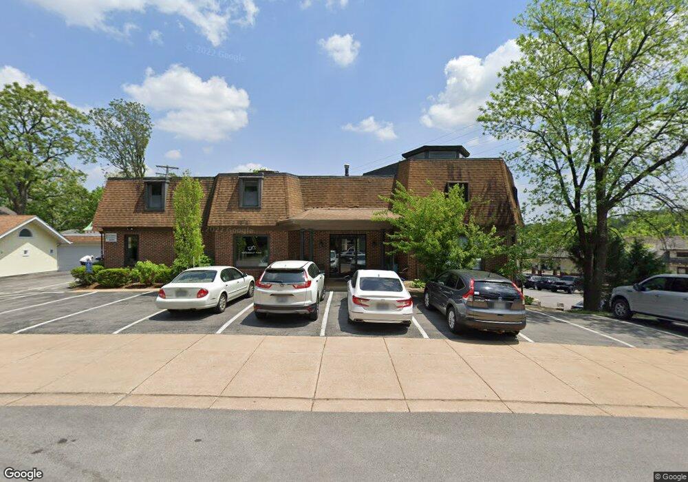
187 Baker Ave Saint Louis, MO 63119
Estimated Value: $1,362,113
1
Bed
--
Bath
14,641
Sq Ft
$93/Sq Ft
Est. Value
About This Home
This home is located at 187 Baker Ave, Saint Louis, MO 63119 and is currently estimated at $1,362,113, approximately $93 per square foot. 187 Baker Ave is a home located in St. Louis County with nearby schools including Clark Elementary School, Hixson Middle School, and Webster Groves High School.
Ownership History
Date
Name
Owned For
Owner Type
Purchase Details
Closed on
Feb 27, 2019
Sold by
Schuster Walter J and Schuster David Michael
Bought by
187 Baker Llc
Current Estimated Value
Home Financials for this Owner
Home Financials are based on the most recent Mortgage that was taken out on this home.
Original Mortgage
$696,000
Outstanding Balance
$610,661
Interest Rate
4.4%
Mortgage Type
Future Advance Clause Open End Mortgage
Estimated Equity
$751,452
Purchase Details
Closed on
May 2, 1997
Sold by
Schuster Walter J
Bought by
Schuster Jacqueline A and Schuster Dorothy J
Create a Home Valuation Report for This Property
The Home Valuation Report is an in-depth analysis detailing your home's value as well as a comparison with similar homes in the area
Home Values in the Area
Average Home Value in this Area
Purchase History
| Date | Buyer | Sale Price | Title Company |
|---|---|---|---|
| 187 Baker Llc | $870,000 | Integrity Title Sln Llc | |
| Schuster Jacqueline A | -- | -- |
Source: Public Records
Mortgage History
| Date | Status | Borrower | Loan Amount |
|---|---|---|---|
| Open | 187 Baker Llc | $696,000 |
Source: Public Records
Tax History
| Year | Tax Paid | Tax Assessment Tax Assessment Total Assessment is a certain percentage of the fair market value that is determined by local assessors to be the total taxable value of land and additions on the property. | Land | Improvement |
|---|---|---|---|---|
| 2025 | $36,750 | $518,210 | $27,710 | $490,500 |
| 2024 | $36,750 | $372,250 | $27,710 | $344,540 |
| 2023 | $35,731 | $372,250 | $27,710 | $344,540 |
| 2022 | $35,741 | $324,510 | $27,710 | $296,800 |
| 2021 | $32,969 | $324,510 | $27,710 | $296,800 |
| 2020 | $27,440 | $262,880 | $27,710 | $235,170 |
| 2019 | $28,153 | $262,880 | $27,710 | $235,170 |
| 2018 | $19,283 | $176,700 | $27,710 | $148,990 |
Source: Public Records
Map
Nearby Homes
- 319 Baker Ave
- 618 S Rock Hill Rd
- 539 Colebrook Dr Unit B
- 401 Reavis Place Unit 29
- 1139 Hawken Place Unit 6
- 1116 S Elm Ave
- 324 Stark Ct
- 55 W Drake Ave
- 14 Armin Ln
- 429 Forest Green Dr
- 426 Pasadena Ave
- 1330 Drayton Ave
- 1412 Gardenia Dr
- 8369 Big Bend Blvd
- 24 Willow Oak Ln
- 804 Edgar Rd
- 1527 S Rock Hill Rd
- 8349 Big Bend Blvd
- 404 W Kirkham Ave
- 475 Catalina Ave
- 564 Gray Ave
- 546 Gray Ave
- 153 Baker Ave
- 144 Kenilworth Ave
- 545 Gray Ave
- 204 Simmons Ave
- 136 Kenilworth Ave
- 137 Baker Ave
- 207 Baker Ave
- 214 Simmons Ave
- 130 Kenilworth Ave
- 215 Baker Ave
- 208 Baker Ave
- 147 Kenilworth Ave
- 218 Simmons Ave
- 201 Simmons Ave
- 124 Kenilworth Ave
- 141 Kenilworth Ave
- 115 Baker Ave
- 203 Simmons Ave
Your Personal Tour Guide
Ask me questions while you tour the home.