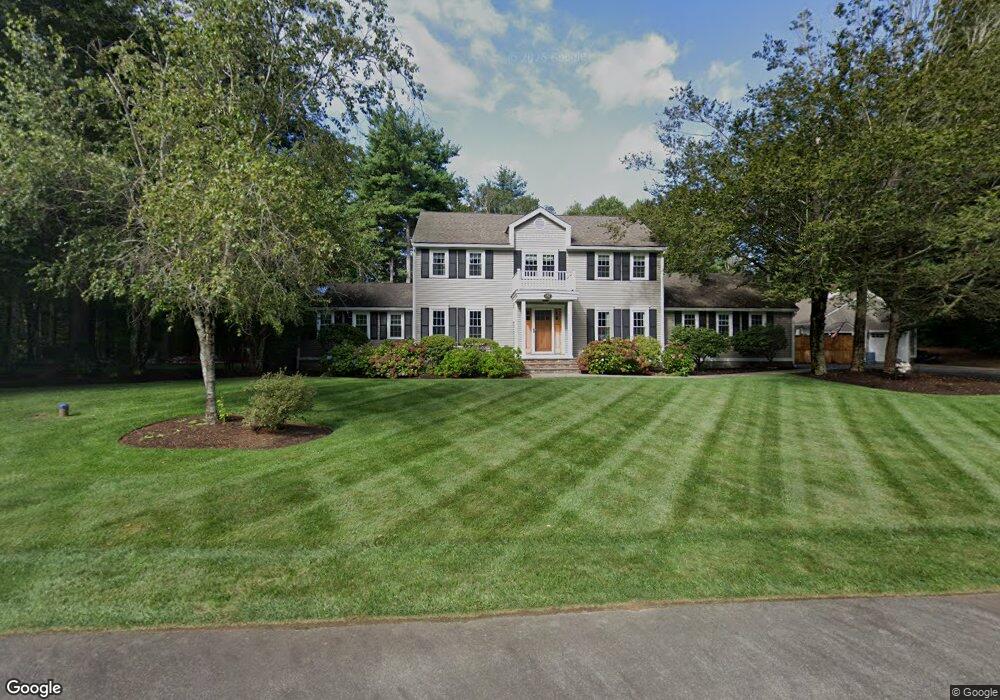
187 Briarwood Dr Hanover, MA 02339
Estimated Value: $1,005,000 - $1,316,000
4
Beds
3
Baths
2,472
Sq Ft
$454/Sq Ft
Est. Value
About This Home
This home is located at 187 Briarwood Dr, Hanover, MA 02339 and is currently estimated at $1,122,142, approximately $453 per square foot. 187 Briarwood Dr is a home located in Plymouth County with nearby schools including Hanover High School, Calvary Chapel Academy, and Holy Family Elementary School.
Ownership History
Date
Name
Owned For
Owner Type
Purchase Details
Closed on
Jul 9, 2013
Sold by
Brooks Carrie and Brooks Matthew
Bought by
Diantonio Diane and Kent Christopher M
Current Estimated Value
Home Financials for this Owner
Home Financials are based on the most recent Mortgage that was taken out on this home.
Original Mortgage
$417,000
Outstanding Balance
$298,946
Interest Rate
3.59%
Mortgage Type
New Conventional
Estimated Equity
$823,196
Purchase Details
Closed on
May 23, 2002
Sold by
Molignano Stanley A
Bought by
Brooks Matthew and Brooks Carrie
Create a Home Valuation Report for This Property
The Home Valuation Report is an in-depth analysis detailing your home's value as well as a comparison with similar homes in the area
Home Values in the Area
Average Home Value in this Area
Purchase History
| Date | Buyer | Sale Price | Title Company |
|---|---|---|---|
| Diantonio Diane | $595,000 | -- | |
| Diantonio Diane | $595,000 | -- | |
| Brooks Matthew | $492,500 | -- |
Source: Public Records
Mortgage History
| Date | Status | Borrower | Loan Amount |
|---|---|---|---|
| Open | Diantonio Diane | $417,000 | |
| Closed | Diantonio Diane | $417,000 | |
| Previous Owner | Brooks Matthew | $417,000 | |
| Previous Owner | Brooks Matthew | $118,000 |
Source: Public Records
Tax History Compared to Growth
Tax History
| Year | Tax Paid | Tax Assessment Tax Assessment Total Assessment is a certain percentage of the fair market value that is determined by local assessors to be the total taxable value of land and additions on the property. | Land | Improvement |
|---|---|---|---|---|
| 2025 | $11,847 | $959,300 | $323,300 | $636,000 |
| 2024 | $11,557 | $900,100 | $323,300 | $576,800 |
| 2023 | $11,050 | $819,100 | $293,900 | $525,200 |
| 2022 | $10,631 | $697,100 | $244,900 | $452,200 |
| 2021 | $6,622 | $641,400 | $222,600 | $418,800 |
| 2020 | $11,746 | $623,900 | $222,600 | $401,300 |
| 2019 | $12,900 | $599,500 | $222,600 | $376,900 |
| 2018 | $6,123 | $565,100 | $222,600 | $342,500 |
| 2017 | $9,458 | $572,500 | $230,400 | $342,100 |
| 2016 | $9,179 | $544,400 | $209,500 | $334,900 |
| 2015 | $8,679 | $537,400 | $228,600 | $308,800 |
Source: Public Records
Map
Nearby Homes
- 15 Hayford Trail Unit 16
- 13 Hayford Trail Unit 15
- 12 Hayford Trail Unit 17
- 7 Hayford Trail Unit 12
- 5 Hayford Trail Unit 11
- The Hanson Plan at Cushing Trails
- Whitman A Plan at Cushing Trails
- Whitman B Plan at Cushing Trails
- 22 Howland Trail Unit 34
- 10 Birch Bottom Cir
- 842 Whitman St
- 100 Litchfield Ln
- 275 Whitman St
- 60 Fairview St
- 82 Tavern Way
- 248 E Washington St
- 87 School St
- 86 Winter St
- Lot 5 Princeton Way
- 3 Christopher Ln
- 190 Briarwood Dr
- 171 Briarwood Dr
- 201 Briarwood Dr
- 170 Briarwood Dr
- 200 Briarwood Dr
- 105 Clark Cir
- 107 King Hill Rd
- 112 King Hill Rd
- 150 Briarwood Dr
- 157 Briarwood Dr
- 95 Clark Cir
- 140 Briarwood Dr
- 13 Wood Hollow Way
- 13 Wood Hollow Way
- 104 King Hill Rd
- 145 Briarwood Dr
- 11 Wood Hollow Way
- 95 King Hill Rd
- 90 Clark Cir
- 83 Clark Cir