187 Daryl Daniels Rd Spring City, TN 37381
Estimated Value: $200,125 - $385,000
--
Bed
1
Bath
1,840
Sq Ft
$165/Sq Ft
Est. Value
About This Home
This home is located at 187 Daryl Daniels Rd, Spring City, TN 37381 and is currently estimated at $303,708, approximately $165 per square foot. 187 Daryl Daniels Rd is a home located in Bledsoe County with nearby schools including Bledsoe County High School.
Ownership History
Date
Name
Owned For
Owner Type
Purchase Details
Closed on
Jul 12, 2023
Sold by
Swafford Yvonne and Chastain Karen
Bought by
Chastain Karen D and Chastain Kenneth E
Current Estimated Value
Purchase Details
Closed on
Mar 24, 1999
Sold by
Daniel Calvin and Daniel Sharlene M
Bought by
Winnie Cemetery
Purchase Details
Closed on
Aug 28, 1998
Sold by
Daniels Lonas
Bought by
Daniel Calvin and Daniel Sharlene M
Purchase Details
Closed on
Aug 28, 1989
Bought by
Daniels Lonas
Create a Home Valuation Report for This Property
The Home Valuation Report is an in-depth analysis detailing your home's value as well as a comparison with similar homes in the area
Home Values in the Area
Average Home Value in this Area
Purchase History
| Date | Buyer | Sale Price | Title Company |
|---|---|---|---|
| Chastain Karen D | -- | None Listed On Document | |
| Winnie Cemetery | -- | -- | |
| Daniel Calvin | $5,400 | -- | |
| Daniels Lonas | $10,000 | -- |
Source: Public Records
Tax History Compared to Growth
Tax History
| Year | Tax Paid | Tax Assessment Tax Assessment Total Assessment is a certain percentage of the fair market value that is determined by local assessors to be the total taxable value of land and additions on the property. | Land | Improvement |
|---|---|---|---|---|
| 2025 | $495 | $24,000 | $0 | $0 |
| 2024 | $495 | $24,000 | $8,075 | $15,925 |
| 2023 | $495 | $24,000 | $8,075 | $15,925 |
| 2022 | $450 | $24,000 | $8,075 | $15,925 |
| 2021 | $485 | $20,325 | $7,050 | $13,275 |
| 2020 | $485 | $20,325 | $7,050 | $13,275 |
| 2019 | $485 | $20,325 | $7,050 | $13,275 |
| 2018 | $448 | $20,325 | $7,050 | $13,275 |
| 2017 | $375 | $20,325 | $7,050 | $13,275 |
| 2016 | $357 | $16,775 | $6,000 | $10,775 |
| 2015 | $382 | $17,225 | $6,825 | $10,400 |
| 2014 | $382 | $17,225 | $6,825 | $10,400 |
Source: Public Records
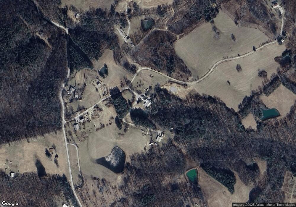
Map
Nearby Homes
- 815 Chestnut Ridge Rd
- 1004 Chestnut Ridge Rd
- 0 Shady Oaks Dr Unit 1282383
- 1139 Chestnut Ridge Rd
- 5.41 Acres Raenne Dr
- 25 Blackberry Ln
- 180 Raeanne Dr
- 1867 Big Ridge Rd
- 0 Lowes Gap Rd Unit 1385211
- 1588 Big Ridge Rd
- 1591 Big Ridge Rd
- 111 Swafford Rd
- 0 Vista Dr
- 6.4 acres Big Ridge Rd
- 33 Pine Rd
- 5 Acres Briley Rd
- Lots 8a/8b Dunlukin Dr
- 0 Lake Overlook Dr
- 10582 Summer City Rd
- 450 Hickory Rd
- 316 Daryl Daniels Rd
- 347 Kerley Rd
- 427 Kerley Rd
- 221 Kerley Rd
- 125 Roberts Ln
- 214 Kerley Rd
- 86 Chestnut Ridge Rd
- 518 Kerley Rd
- 151 Daryl Daniels Rd
- 10 Chestnut Ridge Rd
- 13AC Chestnut Ridge Rd
- 162 Roberts Ln
- 162 Roberts Ln Unit 10
- 23 Chestnut Ridge Rd
- 230 Roberts Ln
- 10361 Shut In Gap Rd
- 237 Chestnut Ridge Rd
- 237 Chestnut Ridge Rd Unit 4
- 24 Toms Rd
- 333 Roberts Ln