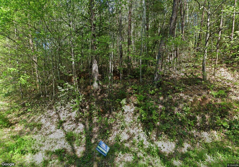
187 Grove Rd Pickens, SC 29671
Pumpkintown NeighborhoodEstimated Value: $339,000 - $389,000
3
Beds
1
Bath
1,296
Sq Ft
$281/Sq Ft
Est. Value
About This Home
This home is located at 187 Grove Rd, Pickens, SC 29671 and is currently estimated at $363,975, approximately $280 per square foot. 187 Grove Rd is a home located in Pickens County with nearby schools including Ambler Elementary School, Pickens Middle School, and Pickens High School.
Ownership History
Date
Name
Owned For
Owner Type
Purchase Details
Closed on
Jul 11, 2024
Sold by
Dodson Byron C
Bought by
Newnham Acquisitions Llc
Current Estimated Value
Home Financials for this Owner
Home Financials are based on the most recent Mortgage that was taken out on this home.
Original Mortgage
$358,959
Outstanding Balance
$317,724
Interest Rate
7.03%
Mortgage Type
New Conventional
Estimated Equity
$46,251
Purchase Details
Closed on
Jan 23, 2015
Sold by
Dodson Jennifer Callie
Bought by
Dodson Bryon C
Purchase Details
Closed on
Dec 16, 2013
Sold by
Roberts Wayne V
Bought by
Dodson Jennifer Callie and Dodson Weyman H
Create a Home Valuation Report for This Property
The Home Valuation Report is an in-depth analysis detailing your home's value as well as a comparison with similar homes in the area
Home Values in the Area
Average Home Value in this Area
Purchase History
| Date | Buyer | Sale Price | Title Company |
|---|---|---|---|
| Newnham Acquisitions Llc | $350,000 | None Listed On Document | |
| Dodson Bryon C | $40,000 | -- | |
| Dodson Byron C | -- | -- | |
| Dodson Jennifer Callie | -- | -- |
Source: Public Records
Mortgage History
| Date | Status | Borrower | Loan Amount |
|---|---|---|---|
| Open | Newnham Acquisitions Llc | $358,959 |
Source: Public Records
Tax History Compared to Growth
Tax History
| Year | Tax Paid | Tax Assessment Tax Assessment Total Assessment is a certain percentage of the fair market value that is determined by local assessors to be the total taxable value of land and additions on the property. | Land | Improvement |
|---|---|---|---|---|
| 2024 | $689 | $5,108 | $878 | $4,230 |
| 2023 | $681 | $5,108 | $878 | $4,230 |
| 2022 | $0 | $5,108 | $878 | $4,230 |
| 2021 | $690 | $5,108 | $878 | $4,230 |
| 2020 | $704 | $5,927 | $847 | $5,080 |
| 2019 | $714 | $5,108 | $878 | $4,230 |
| 2018 | $690 | $4,508 | $1,048 | $3,460 |
| 2017 | $677 | $4,508 | $1,048 | $3,460 |
| 2015 | $935 | $750 | $0 | $0 |
Source: Public Records
Map
Nearby Homes
- 0 Daves Valley Rd
- 0 Hwy
- 183 Wittmore Ln
- 0 Pumpkintown Hwy 8 Hwy Unit 20286557
- 0 Pumpkintown Hwy 8 Hwy Unit 1554502
- 326 Caesars Head Hwy
- 102 Rockcrest Rd
- 217 Rockcrest Ridge
- 00 Rockcrest Ridge
- 345 Table Rock Rd
- 116 Dorothy Ln
- 102 Lakemont Rd
- 402 Laurel and Hardy Lake Rd
- 242 Hagood Rd
- 00 Table Rock Rd
- 00 Red Bird Hill Ln
- 104 Wandering Way
- 113 Wandering Way
- 11 Matthews Creek Ln
- 0 Ledge Rd
- 192 Grove Rd
- 165 Grove Rd
- 00 Grove Rd
- 0 Grove Rd
- 207 Grove Rd
- 212 Grove Rd
- 226 Grove Rd
- 4822 Pumpkintown Hwy
- 448 Pleasant Grove Rd
- 245 Grove Rd
- 4920 Pumpkintown Hwy
- 5126 Pumpkintown Hwy
- 4800 Pumpkintown Hwy
- 115 Mac Rd
- 444 Pleasant Grove Rd
- 262 Grove Rd
- 116 Beechwood Rd
- 45.6 acres Pleasant Grove Rd
- 137 Mac Rd
- 463 Pleasant Grove Rd
