187 Lower Rader Creek Rd Whitehall, MT 59759
Estimated Value: $554,000 - $764,181
3
Beds
2
Baths
1,344
Sq Ft
$487/Sq Ft
Est. Value
About This Home
This home is located at 187 Lower Rader Creek Rd, Whitehall, MT 59759 and is currently estimated at $654,727, approximately $487 per square foot. 187 Lower Rader Creek Rd is a home located in Jefferson County with nearby schools including Whitehall Elementary School, Whitehall Middle School, and Whitehall High School.
Ownership History
Date
Name
Owned For
Owner Type
Purchase Details
Closed on
Jan 18, 2019
Sold by
Amundson Rolland G
Bought by
Carpenter Laneda Ann
Current Estimated Value
Purchase Details
Closed on
Feb 1, 2008
Sold by
Amundson Rolland G and Amundson Lucy B
Bought by
Carpenter Laneda A and Carpenter Craig A
Create a Home Valuation Report for This Property
The Home Valuation Report is an in-depth analysis detailing your home's value as well as a comparison with similar homes in the area
Home Values in the Area
Average Home Value in this Area
Purchase History
| Date | Buyer | Sale Price | Title Company |
|---|---|---|---|
| Carpenter Laneda Ann | -- | None Available | |
| Carpenter Laneda A | -- | None Available |
Source: Public Records
Tax History Compared to Growth
Tax History
| Year | Tax Paid | Tax Assessment Tax Assessment Total Assessment is a certain percentage of the fair market value that is determined by local assessors to be the total taxable value of land and additions on the property. | Land | Improvement |
|---|---|---|---|---|
| 2025 | $2,568 | $549,579 | $0 | $0 |
| 2024 | $2,860 | $449,727 | $0 | $0 |
| 2023 | $2,925 | $449,727 | $0 | $0 |
| 2022 | $2,326 | $297,982 | $0 | $0 |
| 2021 | $2,055 | $297,982 | $0 | $0 |
| 2020 | $1,915 | $247,879 | $0 | $0 |
| 2019 | $1,925 | $247,879 | $0 | $0 |
| 2018 | $1,839 | $232,308 | $0 | $0 |
| 2017 | $1,534 | $232,308 | $0 | $0 |
| 2016 | $1,416 | $190,875 | $0 | $0 |
| 2015 | $1,310 | $190,875 | $0 | $0 |
| 2014 | $1,261 | $103,553 | $0 | $0 |
Source: Public Records
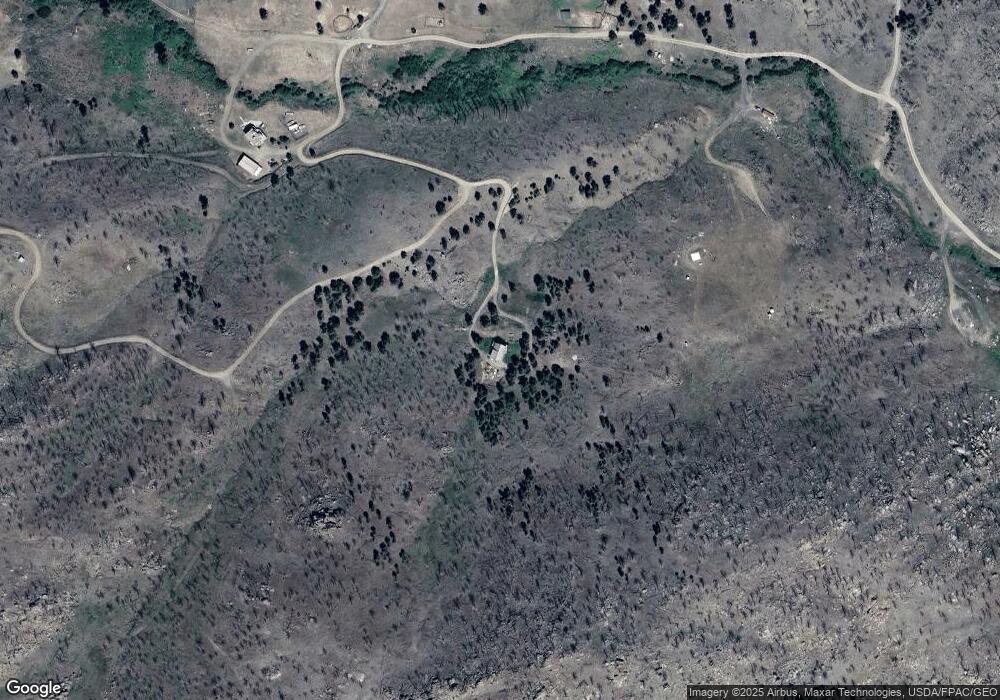
Map
Nearby Homes
- 180 Lower Rader Creek Rd
- 16 Friendspring Rd
- 11 Lost Moose Bend
- 967 Mt Highway 2 W
- 91 Upper Radar Creek Rd
- 842 Mt Highway 2 W
- TBD Friendspring Rd
- tbd Upper Radar Creek Rd
- 456 Friendspring Rd
- 34 Appe Ln
- TBD Cedar Hills Rd
- 91 Upper Rader Creek Rd
- tbd Upper Rader Creek Rd
- TBD Grace Rd
- 426 Friend Spring Rd
- 5845 Dry Creek Ranch Rd
- 39 Mcleod Estate
- 21 Ryan Rd
- 6 Angler Way
- 43 Stillwater Dr
- 10 Miners Hill Rd
- 10 Miners Hill
- 184 Lower Rader Creek Rd
- 182 Lower Rader Creek Rd
- 176 Lower Rader Creek Rd
- 190 Lower Rader Creek
- TBD Lower Rader Creek
- TBD Friend Spring Rd
- 88 Friendspring Rd
- 88 Friendspring Rd
- 56 Rolu Rd
- nhn Hidden Creek
- 18 Felswald
- tbd Hidden Creek Rd
- 0 Tbd Lower Rader Creek
- 61 Rolu Rd
- 82 Rolu Rd
- 116 Lost Moose Bend
- NHN Friend Spring
- 17 Felswald Rd