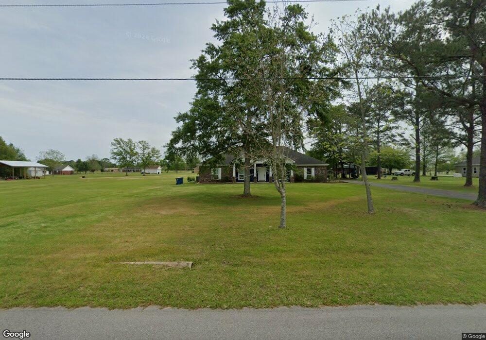
187 Mccoy Dr Atmore, AL 36502
Estimated Value: $293,000 - $335,000
--
Bed
--
Bath
2,405
Sq Ft
$130/Sq Ft
Est. Value
About This Home
This home is located at 187 Mccoy Dr, Atmore, AL 36502 and is currently estimated at $312,708, approximately $130 per square foot. 187 Mccoy Dr is a home with nearby schools including Rachel Patterson Elementary School, A.C. Moore Elementary School, and Escambia County Middle School.
Ownership History
Date
Name
Owned For
Owner Type
Purchase Details
Closed on
Nov 30, 2020
Sold by
White Kevin
Bought by
Reed Randall W
Current Estimated Value
Purchase Details
Closed on
Jun 4, 2015
Sold by
Bill Dobbins Homes Inc
Bought by
White Kevin D and White Stacey
Home Financials for this Owner
Home Financials are based on the most recent Mortgage that was taken out on this home.
Original Mortgage
$153,419
Interest Rate
3.88%
Mortgage Type
Purchase Money Mortgage
Purchase Details
Closed on
Mar 12, 2015
Sold by
White Kevin and White Stacey Marie
Bought by
Bill Dobbins Homes Inc
Purchase Details
Closed on
Jun 2, 2010
Sold by
White Kevin
Bought by
White Kevin and Gibbs Stacey Marie
Create a Home Valuation Report for This Property
The Home Valuation Report is an in-depth analysis detailing your home's value as well as a comparison with similar homes in the area
Home Values in the Area
Average Home Value in this Area
Purchase History
| Date | Buyer | Sale Price | Title Company |
|---|---|---|---|
| Reed Randall W | $230,000 | -- | |
| White Kevin D | $154,632 | -- | |
| Bill Dobbins Homes Inc | $15,000 | -- | |
| White Kevin | -- | -- |
Source: Public Records
Mortgage History
| Date | Status | Borrower | Loan Amount |
|---|---|---|---|
| Previous Owner | White Kevin D | $153,419 |
Source: Public Records
Tax History Compared to Growth
Tax History
| Year | Tax Paid | Tax Assessment Tax Assessment Total Assessment is a certain percentage of the fair market value that is determined by local assessors to be the total taxable value of land and additions on the property. | Land | Improvement |
|---|---|---|---|---|
| 2024 | $850 | $25,680 | $0 | $0 |
| 2023 | $850 | $24,860 | $0 | $0 |
| 2022 | $783 | $21,560 | $0 | $0 |
| 2021 | $706 | $21,560 | $0 | $0 |
| 2020 | $736 | $22,440 | $0 | $0 |
| 2019 | $695 | $21,260 | $0 | $0 |
| 2018 | $699 | $21,380 | $0 | $0 |
| 2017 | $614 | $18,940 | $0 | $0 |
| 2015 | -- | $3,150 | $1,250 | $1,900 |
| 2014 | -- | $3,250 | $1,250 | $2,000 |
Source: Public Records
Map
Nearby Homes
- 165 St Stephens Ct
- 225 St Stephens Ct
- 225 Saint Stephens Ct
- 701 Mcrae St
- 51 Godwin Dr
- 208 14th Ave
- 56 Old Bratt Rd
- 00 Mcrae St
- 00 Mcrae St Unit 3
- 510 Mcrae St
- 510 Mcrae St Unit 4
- 311 Cloverdale Rd
- 212 11th Ave
- 511 4th Ave
- 511 E Pine St
- 111 Dogwood Place
- 9870 Highway 31
- 308 4th Ave
- 401 E Oak St
- 208 Beck St