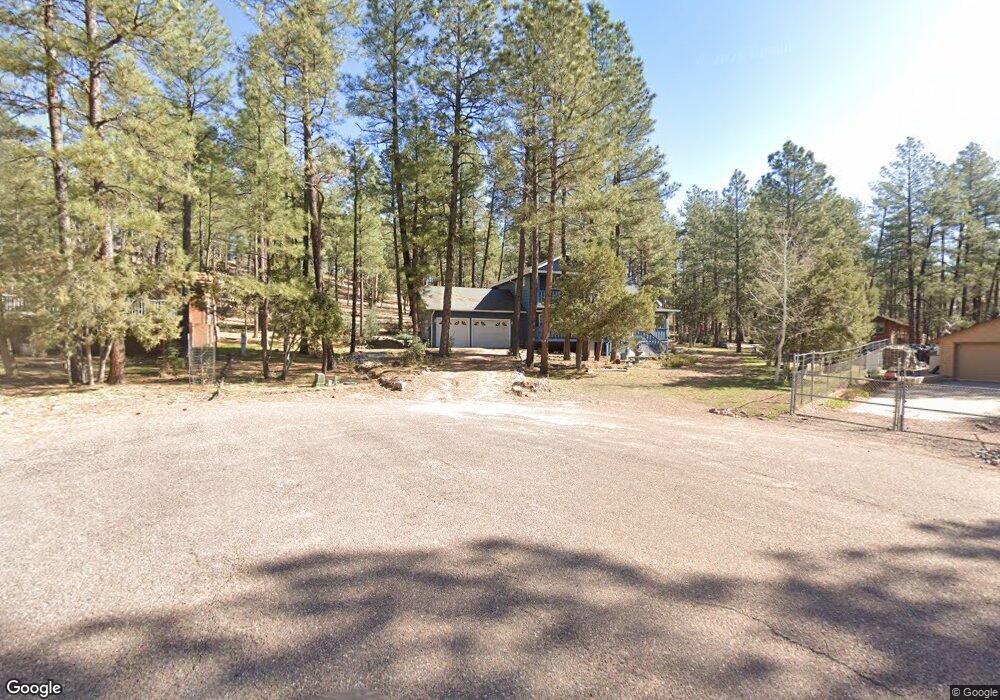
187 N Cedar Cir Payson, AZ 85541
Estimated Value: $315,000 - $494,000
--
Bed
--
Bath
2,181
Sq Ft
$189/Sq Ft
Est. Value
About This Home
This home is located at 187 N Cedar Cir, Payson, AZ 85541 and is currently estimated at $412,166, approximately $188 per square foot. 187 N Cedar Cir is a home located in Gila County with nearby schools including Julia Randall Elementary School, Payson Elementary School, and Rim Country Middle School.
Ownership History
Date
Name
Owned For
Owner Type
Purchase Details
Closed on
Jun 2, 2009
Sold by
Smith Nancy M
Bought by
Smith Nancy M
Current Estimated Value
Home Financials for this Owner
Home Financials are based on the most recent Mortgage that was taken out on this home.
Original Mortgage
$160,000
Interest Rate
4.8%
Mortgage Type
New Conventional
Purchase Details
Closed on
May 7, 2009
Sold by
Smith Nancy M
Bought by
Smith Nancy M
Home Financials for this Owner
Home Financials are based on the most recent Mortgage that was taken out on this home.
Original Mortgage
$160,000
Interest Rate
4.8%
Mortgage Type
New Conventional
Purchase Details
Closed on
May 22, 2008
Sold by
Smith Nancy M
Bought by
Smith Nancy M
Home Financials for this Owner
Home Financials are based on the most recent Mortgage that was taken out on this home.
Original Mortgage
$156,700
Interest Rate
6.51%
Mortgage Type
New Conventional
Create a Home Valuation Report for This Property
The Home Valuation Report is an in-depth analysis detailing your home's value as well as a comparison with similar homes in the area
Home Values in the Area
Average Home Value in this Area
Purchase History
| Date | Buyer | Sale Price | Title Company |
|---|---|---|---|
| Smith Nancy M | -- | None Available | |
| Smith Nancy M | -- | None Available | |
| Smith Nancy M | -- | Title Source | |
| Smith Nancy M | -- | Title Source Inc |
Source: Public Records
Mortgage History
| Date | Status | Borrower | Loan Amount |
|---|---|---|---|
| Closed | Smith Nancy M | $160,000 | |
| Closed | Smith Nancy M | $156,700 |
Source: Public Records
Tax History Compared to Growth
Tax History
| Year | Tax Paid | Tax Assessment Tax Assessment Total Assessment is a certain percentage of the fair market value that is determined by local assessors to be the total taxable value of land and additions on the property. | Land | Improvement |
|---|---|---|---|---|
| 2025 | $1,736 | -- | -- | -- |
| 2024 | $1,736 | $27,860 | $2,815 | $25,045 |
| 2023 | $1,736 | $19,464 | $2,712 | $16,752 |
| 2022 | $1,657 | $19,464 | $2,712 | $16,752 |
| 2021 | $1,612 | $19,464 | $2,712 | $16,752 |
| 2020 | $1,749 | $0 | $0 | $0 |
| 2019 | $1,693 | $0 | $0 | $0 |
| 2018 | $1,627 | $0 | $0 | $0 |
| 2017 | $1,350 | $0 | $0 | $0 |
| 2016 | $1,306 | $0 | $0 | $0 |
| 2015 | $1,262 | $0 | $0 | $0 |
Source: Public Records
Map
Nearby Homes
- 512 W Standage Dr
- 192 N Tonto Trail
- 175 N Windy Grove Cir
- 247 Standage Dr
- 221 W Standage Dr
- 183 Raven Rd
- 709 W Old Pine Trail
- 1007 W Old Pine Trail
- 170 S Park Rd
- 2 Zane Meadows
- 370 N Coyote Trail
- 287 S Lookout Trail
- 193 E Saddle Mountain Rd
- 247 W Diamond Rd
- 858 University Dr
- 627 Buenagua Rd
- 383 W Diamond Rd
- 690 N Tonto Rim Loop
- 691 N Pyle Ranch Rd
- 474 N Meadow Way
- 185 N Cedar Cir
- 298 N Tonto Trail
- 143 N Cedar Cir
- 161 N Village Cir
- 662 W Standage Dr
- 584 W Standage Dr
- 289 N Tonto Trail
- 142 N Village Cir
- 198 N Village Cir
- 605 W Standage Dr
- 247 N Tonto St
- 247 N Tonto Trail
- 555 W Standage Dr
- 715 W Standage Dr
- 227 N Tonto Trail
- 198 Woodland Cir
- 198 Woodland Cir
- 882 W Johnson Blvd
- 914 W Johnson Blvd
- 780 W Standage Dr