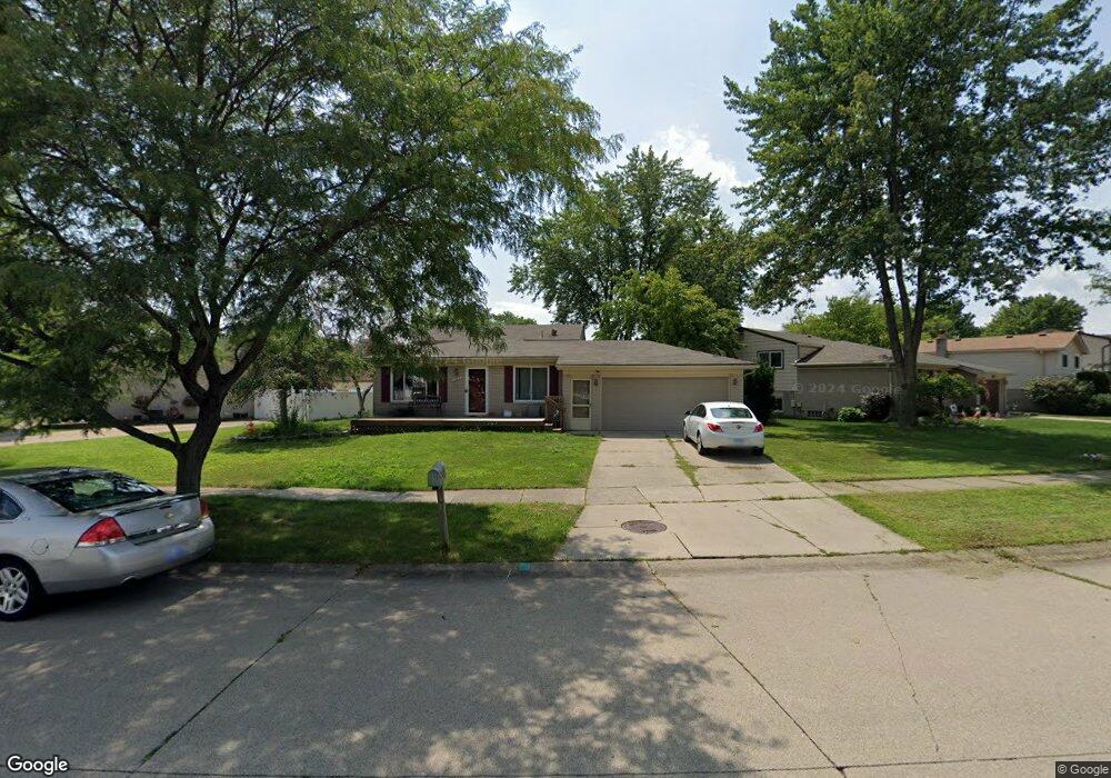
187 Robyn Dr Canton, MI 48187
Estimated Value: $362,582 - $406,000
4
Beds
2
Baths
1,756
Sq Ft
$218/Sq Ft
Est. Value
About This Home
This home is located at 187 Robyn Dr, Canton, MI 48187 and is currently estimated at $383,146, approximately $218 per square foot. 187 Robyn Dr is a home located in Wayne County with nearby schools including Canton High School, Discovery Middle School, and Salem High School.
Ownership History
Date
Name
Owned For
Owner Type
Purchase Details
Closed on
Aug 18, 2011
Sold by
Nevers Christopher A and Nevers Laura A
Bought by
Loy Rachel
Current Estimated Value
Purchase Details
Closed on
May 3, 2001
Sold by
Pizzielo Marlem
Bought by
Nevers Christopher A
Purchase Details
Closed on
Dec 31, 1996
Sold by
Hysk Joan S and Hysk Mieczyslaw
Bought by
Jones Michael K and Jones Nancy
Create a Home Valuation Report for This Property
The Home Valuation Report is an in-depth analysis detailing your home's value as well as a comparison with similar homes in the area
Home Values in the Area
Average Home Value in this Area
Purchase History
| Date | Buyer | Sale Price | Title Company |
|---|---|---|---|
| Loy Rachel | $144,000 | First Centennial Title Inc | |
| Nevers Christopher A | $179,900 | -- | |
| Jones Michael K | $135,000 | -- |
Source: Public Records
Tax History
| Year | Tax Paid | Tax Assessment Tax Assessment Total Assessment is a certain percentage of the fair market value that is determined by local assessors to be the total taxable value of land and additions on the property. | Land | Improvement |
|---|---|---|---|---|
| 2025 | $1,810 | $164,800 | $0 | $0 |
| 2024 | $1,758 | $146,600 | $0 | $0 |
| 2023 | $1,676 | $138,800 | $0 | $0 |
| 2022 | $3,704 | $128,400 | $0 | $0 |
| 2021 | $3,594 | $124,300 | $0 | $0 |
| 2020 | $3,548 | $121,400 | $0 | $0 |
| 2019 | $3,486 | $112,890 | $0 | $0 |
| 2018 | $1,425 | $109,060 | $0 | $0 |
| 2017 | $3,582 | $105,700 | $0 | $0 |
| 2016 | $3,172 | $103,700 | $0 | $0 |
| 2015 | $7,829 | $84,270 | $0 | $0 |
| 2013 | $7,631 | $79,370 | $0 | $0 |
| 2010 | -- | $79,890 | $43,328 | $36,562 |
Source: Public Records
Map
Nearby Homes
- 42789 Lilley Pointe Dr Unit 146
- 42739 Lilley Pointe Dr Unit 119
- 41777 Princess Dr
- 42216 Metaline Dr
- 41587 Pheasant Creek Dr
- 42195 Briarcliff Ct
- 41226 Southwind Dr Unit 138
- 41128 Northwind Dr Unit 28
- 41060 Northwind Dr
- 1399 Copeland Cir
- 41772 Glade Rd Unit 41
- 41260 Maplewood Dr Unit 5
- 1680 Manton Blvd
- 41160 Maplewood Dr Unit 15
- 41210 Maplewood Dr Unit 10
- 42195 Fairview Dr
- 41715 Bedford Dr
- 1402 Heritage Dr
- 446 Cherry Stone Dr Unit 54
- 321 Cherry Grove Rd
Your Personal Tour Guide
Ask me questions while you tour the home.