187 Saps Rd Hampstead, NC 28443
Estimated Value: $473,000 - $575,000
4
Beds
3
Baths
2,549
Sq Ft
$210/Sq Ft
Est. Value
About This Home
This home is located at 187 Saps Rd, Hampstead, NC 28443 and is currently estimated at $535,354, approximately $210 per square foot. 187 Saps Rd is a home with nearby schools including South Topsail Elementary School, Topsail Middle School, and Topsail High School.
Ownership History
Date
Name
Owned For
Owner Type
Purchase Details
Closed on
Jun 10, 2014
Sold by
Scbt
Bought by
Perry Daniel L and Perry Melinda M
Current Estimated Value
Purchase Details
Closed on
Sep 20, 2013
Sold by
Clark George F and Clark Linda A
Bought by
Scbt and First Federal A Division Of Scbt
Purchase Details
Closed on
Jan 17, 2006
Sold by
Seaton David B and Seaton Susan M
Bought by
Clark George F and Clark Linda A
Create a Home Valuation Report for This Property
The Home Valuation Report is an in-depth analysis detailing your home's value as well as a comparison with similar homes in the area
Home Values in the Area
Average Home Value in this Area
Purchase History
| Date | Buyer | Sale Price | Title Company |
|---|---|---|---|
| Perry Daniel L | $21,000 | None Available | |
| Scbt | $29,500 | None Available | |
| Clark George F | $138,000 | -- |
Source: Public Records
Tax History
| Year | Tax Paid | Tax Assessment Tax Assessment Total Assessment is a certain percentage of the fair market value that is determined by local assessors to be the total taxable value of land and additions on the property. | Land | Improvement |
|---|---|---|---|---|
| 2025 | $2,872 | $774,084 | $178,762 | $595,322 |
| 2024 | $2,872 | $288,916 | $33,870 | $255,046 |
| 2023 | $2,872 | $288,916 | $33,870 | $255,046 |
| 2022 | $2,625 | $288,916 | $33,870 | $255,046 |
| 2021 | $2,625 | $288,916 | $33,870 | $255,046 |
| 2020 | $2,625 | $410,855 | $65,985 | $344,870 |
| 2019 | $3,640 | $410,855 | $65,985 | $344,870 |
| 2018 | $2,187 | $225,391 | $26,611 | $198,780 |
| 2017 | $2,187 | $225,391 | $26,611 | $198,780 |
| 2016 | $415 | $48,154 | $48,154 | $0 |
| 2015 | $415 | $48,154 | $48,154 | $0 |
| 2014 | $322 | $48,154 | $48,154 | $0 |
| 2013 | -- | $48,154 | $48,154 | $0 |
| 2012 | -- | $48,154 | $48,154 | $0 |
Source: Public Records
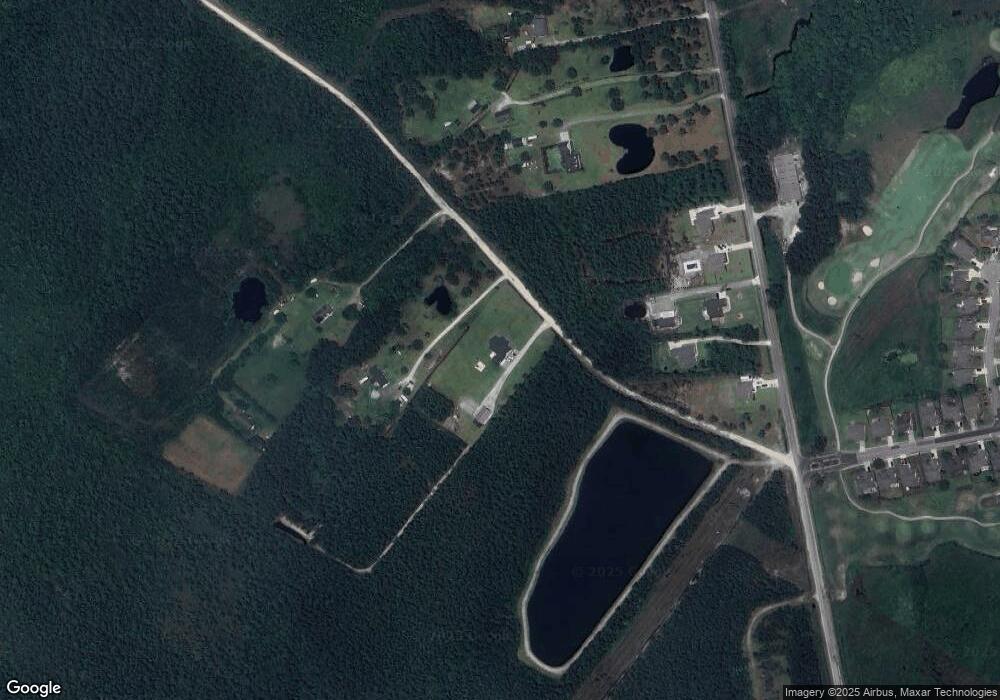
Map
Nearby Homes
- 35 Scotlands Ct
- 100 Scotlands Ct
- 397 Highlands Dr
- 607 Castle Bay Dr
- 66 Tree Top Ct
- 41 Windsor Ct
- 69 W Pioneer Way Unit 106
- 32 W Pioneer Way Unit 128
- 40 W Farley Dr Unit 95
- 38 W Farley Dr Unit 96
- 93 W Farley Dr Unit 82
- 58 W Farley Dr Unit 92
- 65 W Farley Dr Unit 77
- 34 W Farley Dr Unit 97
- Tbd W Farley Dr Unit 90
- 20 W Farley Dr Unit 100
- 16 W Farley Dr Unit 101
- 17 E Pioneer Way Unit 151
- 7 E Pioneer Way Unit 150
- 18 E Pioneer Way Unit 74
Your Personal Tour Guide
Ask me questions while you tour the home.