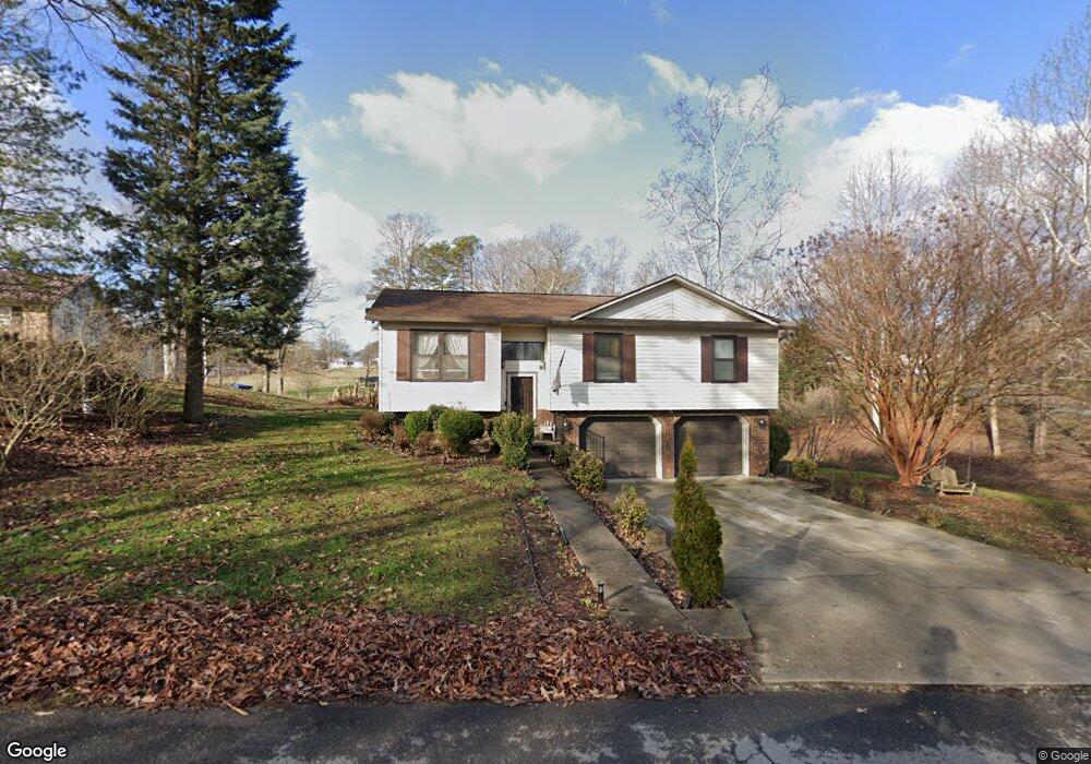
187 Shady Lane Ave Rogersville, TN 37857
Estimated Value: $207,955 - $256,000
--
Bed
2
Baths
1,151
Sq Ft
$201/Sq Ft
Est. Value
About This Home
This home is located at 187 Shady Lane Ave, Rogersville, TN 37857 and is currently estimated at $231,239, approximately $200 per square foot. 187 Shady Lane Ave is a home located in Hawkins County with nearby schools including Joseph Rogers Primary School, Hawkins Elementary School, and Rogersville Middle School.
Ownership History
Date
Name
Owned For
Owner Type
Purchase Details
Closed on
Jun 24, 2004
Sold by
Bailey Carl K and Bailey Nora B
Bought by
Bailey Carl Ketron
Current Estimated Value
Purchase Details
Closed on
Nov 18, 1993
Bought by
Bailey Carl K and Bailey Nora B
Purchase Details
Closed on
Sep 17, 1991
Bought by
Lawson Lynn and Larry Hagood
Purchase Details
Closed on
May 24, 1988
Bought by
Lawson Earl Construction Co
Purchase Details
Closed on
Jul 17, 1973
Bought by
Drain Jack T and Drain Jessie B
Create a Home Valuation Report for This Property
The Home Valuation Report is an in-depth analysis detailing your home's value as well as a comparison with similar homes in the area
Home Values in the Area
Average Home Value in this Area
Purchase History
| Date | Buyer | Sale Price | Title Company |
|---|---|---|---|
| Bailey Carl Ketron | -- | -- | |
| Bailey Carl Ketron | -- | None Available | |
| Bailey Carl K | $5,000 | -- | |
| Lawson Lynn | $1,000 | -- | |
| Lawson Earl Construction Co | $1,000 | -- | |
| Drain Jack T | -- | -- |
Source: Public Records
Tax History Compared to Growth
Tax History
| Year | Tax Paid | Tax Assessment Tax Assessment Total Assessment is a certain percentage of the fair market value that is determined by local assessors to be the total taxable value of land and additions on the property. | Land | Improvement |
|---|---|---|---|---|
| 2024 | $855 | $33,475 | $4,225 | $29,250 |
| 2023 | $778 | $33,475 | $0 | $0 |
| 2022 | $776 | $33,475 | $4,225 | $29,250 |
| 2021 | $711 | $32,800 | $4,225 | $28,575 |
| 2020 | $618 | $32,800 | $4,225 | $28,575 |
| 2019 | $618 | $24,400 | $3,675 | $20,725 |
| 2018 | $618 | $24,400 | $3,675 | $20,725 |
| 2017 | $618 | $24,400 | $3,675 | $20,725 |
| 2016 | $618 | $24,400 | $3,675 | $20,725 |
| 2015 | $601 | $24,400 | $3,675 | $20,725 |
| 2014 | $680 | $27,575 | $4,225 | $23,350 |
Source: Public Records
Map
Nearby Homes
- Lot 4 Highway 70s
- 111 Poplar Dr
- 156 Reynolds Hills Dr
- Lot 3 Highway 70s
- Lot 2 Highway 70s
- Lot 1 Highway 70s
- 403 Morningside Dr
- 142 Old State Highway 70
- 157 Chuck Rd
- Tbd Flora Rd
- Tbd Kite Rd
- 2586 Highway 66 S
- 140 Roberts Rd
- Flora Rd
- Tbd2 Chestnut Town Rd
- Tbd Chestnut Town Rd
- 1279 Old State Highway 70
- 229 235 Henard Rd
- Chestnutt Town Rd
- 213 Big Springs Rd
- 109 Greenwood St
- 111 Shady Lane Ave
- 114 Shady Lane Ave
- 102 Greenwood St
- 106 Greenwood St
- 105 Shady Lane Ave
- 108 Shady Lane Ave
- 110 Greenwood St
- 115 Greenwood St
- 102 Shady Lane Ave
- 103 Shady Lane Ave
- 114 Greenwood St
- 211 Shady Lane Ave
- 119 Greenwood St
- 118 Greenwood St
- 315 Old Persia Rd
- 123 Greenwood St
- 319 Old Persia Rd
- 233 Shady Lane Ave
- 109 Lands Down Dr