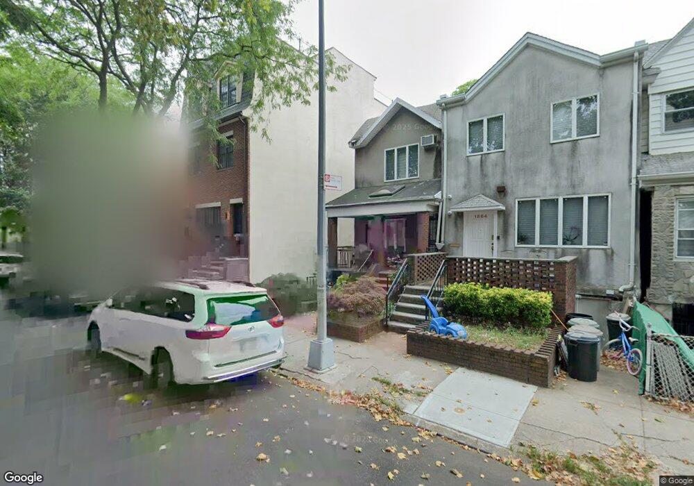
1870 49th St Brooklyn, NY 11204
Borough Park NeighborhoodEstimated Value: $2,226,000 - $3,718,000
--
Bed
--
Bath
4,356
Sq Ft
$629/Sq Ft
Est. Value
About This Home
This home is located at 1870 49th St, Brooklyn, NY 11204 and is currently estimated at $2,741,000, approximately $629 per square foot. 1870 49th St is a home located in Kings County with nearby schools including P.S./I.S. 192 Magnet School For Math And Science Inquiry, I.S. 223 The Montauk, and Franklin Delano Roosevelt High School.
Ownership History
Date
Name
Owned For
Owner Type
Purchase Details
Closed on
Nov 1, 2024
Sold by
Horowitz Rosalie
Bought by
Eliezer Horowitz Trustee and R Horowitz Family Trust
Current Estimated Value
Purchase Details
Closed on
Aug 16, 2000
Sold by
Horowitz Eliezer and Horowitz Rosalie
Bought by
Horowitz Eliezer and Horowitz Rosalie
Create a Home Valuation Report for This Property
The Home Valuation Report is an in-depth analysis detailing your home's value as well as a comparison with similar homes in the area
Home Values in the Area
Average Home Value in this Area
Purchase History
| Date | Buyer | Sale Price | Title Company |
|---|---|---|---|
| Eliezer Horowitz Trustee | -- | -- | |
| E Horowitz Family Trust | -- | -- | |
| Horowitz Eliezer | -- | -- | |
| Horowitz Eliezer | -- | -- |
Source: Public Records
Tax History Compared to Growth
Tax History
| Year | Tax Paid | Tax Assessment Tax Assessment Total Assessment is a certain percentage of the fair market value that is determined by local assessors to be the total taxable value of land and additions on the property. | Land | Improvement |
|---|---|---|---|---|
| 2025 | $13,046 | $137,160 | $16,260 | $120,900 |
| 2024 | $13,046 | $108,360 | $16,260 | $92,100 |
| 2023 | $13,192 | $95,760 | $16,260 | $79,500 |
| 2022 | $10,014 | $100,020 | $27,540 | $72,480 |
| 2021 | $10,237 | $93,000 | $27,540 | $65,460 |
| 2020 | $7,678 | $88,500 | $27,540 | $60,960 |
| 2019 | $9,057 | $88,500 | $27,540 | $60,960 |
| 2018 | $8,826 | $43,296 | $14,034 | $29,262 |
| 2017 | $8,522 | $41,803 | $12,834 | $28,969 |
| 2016 | $8,104 | $40,536 | $14,559 | $25,977 |
| 2015 | $4,756 | $38,242 | $20,595 | $17,647 |
| 2014 | $4,756 | $36,080 | $23,322 | $12,758 |
Source: Public Records
Map
Nearby Homes
- 1917 51st St
- 1026 E 2nd St
- 312 Foster Ave
- 1772 55th St
- 1768 55th St
- 414 Elmwood Ave Unit 3F
- 414 Elmwood Ave Unit 4C
- 1091 E 3rd St
- 309 Avenue J
- 820 Ocean Pkwy Unit 621
- 820 Ocean Pkwy Unit 417
- 515 Avenue I Unit 1J
- 842 Ocean Pkwy Unit 2B
- 842 Ocean Pkwy Unit 8A
- 800 Ocean Pkwy Unit 5N
- 800 Ocean Pkwy Unit 6E
- 770 Ocean Pkwy Unit 2D
- 770 Ocean Pkwy Unit 6F
- 770 Ocean Pkwy Unit 6C
- 770 Ocean Pkwy Unit 4K