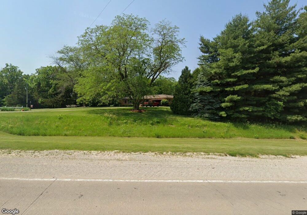
1870 Highway 22 Muscatine, IA 52761
Estimated Value: $324,000 - $480,722
3
Beds
3
Baths
2,176
Sq Ft
$184/Sq Ft
Est. Value
About This Home
This home is located at 1870 Highway 22, Muscatine, IA 52761 and is currently estimated at $399,431, approximately $183 per square foot. 1870 Highway 22 is a home with nearby schools including McKinley Elementary School, Susan Clark Junior High School, and Muscatine High School.
Create a Home Valuation Report for This Property
The Home Valuation Report is an in-depth analysis detailing your home's value as well as a comparison with similar homes in the area
Home Values in the Area
Average Home Value in this Area
Tax History Compared to Growth
Tax History
| Year | Tax Paid | Tax Assessment Tax Assessment Total Assessment is a certain percentage of the fair market value that is determined by local assessors to be the total taxable value of land and additions on the property. | Land | Improvement |
|---|---|---|---|---|
| 2025 | $4,274 | $379,500 | $89,600 | $289,900 |
| 2024 | $4,274 | $375,280 | $87,250 | $288,030 |
| 2023 | $4,264 | $381,961 | $91,563 | $290,398 |
| 2022 | $4,212 | $309,240 | $86,380 | $222,860 |
| 2021 | $4,212 | $315,840 | $122,750 | $193,090 |
| 2020 | $4,224 | $302,620 | $114,750 | $187,870 |
| 2019 | $4,300 | $290,490 | $0 | $0 |
| 2018 | $4,200 | $290,490 | $0 | $0 |
| 2017 | $4,200 | $290,490 | $0 | $0 |
| 2016 | $4,418 | $290,490 | $0 | $0 |
| 2015 | $4,418 | $289,410 | $0 | $0 |
| 2014 | $4,440 | $289,410 | $0 | $0 |
Source: Public Records
Map
Nearby Homes
- 1872 Highway 22
- 1855 Bayfield Rd
- 1861 Bayfield Rd
- 1880 Highway 22
- 1895 Highway 22
- 0 Jasper Ave
- 1841 Highway 22
- 2016 Jasper Ave
- 1987 Independence Ave
- 1830 Highway 22
- 1974 Independence Ave
- 2015 Jasper Ave
- 1995 Independence Ave
- 1866 Bayfield Rd
- 2020 Jasper Ave
- 2009 Independence Ave
- 1916 Highway 22
- 1978 Jewett Ave
- 2028 Jasper Ave
- 2021 Independence Ave