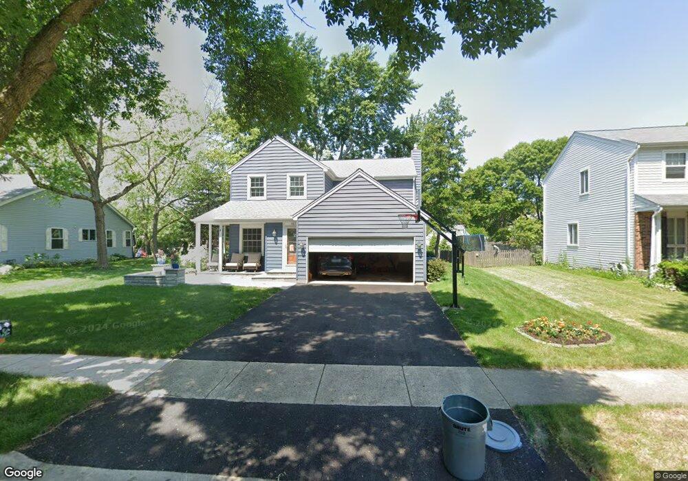
1871 Lisson Rd Unit 2A Naperville, IL 60565
University Heights NeighborhoodEstimated Value: $504,372 - $584,000
Studio
1
Bath
2,118
Sq Ft
$259/Sq Ft
Est. Value
About This Home
This home is located at 1871 Lisson Rd Unit 2A, Naperville, IL 60565 and is currently estimated at $548,343, approximately $258 per square foot. 1871 Lisson Rd Unit 2A is a home located in DuPage County with nearby schools including Meadow Glens Elementary School, Madison Jr High School, and Naperville Central High School.
Ownership History
Date
Name
Owned For
Owner Type
Purchase Details
Closed on
Mar 18, 2013
Sold by
Gorrell Ralph A and Gorrell Tracey D
Bought by
Gorrell Ralph Andrew and Gorrell Tracey Doyle
Current Estimated Value
Purchase Details
Closed on
Jan 9, 2003
Sold by
David Donald J and David Judith M
Bought by
Gorrell Ralph A and Gorrell Tracey D
Home Financials for this Owner
Home Financials are based on the most recent Mortgage that was taken out on this home.
Original Mortgage
$208,800
Outstanding Balance
$89,790
Interest Rate
6.13%
Estimated Equity
$458,553
Create a Home Valuation Report for This Property
The Home Valuation Report is an in-depth analysis detailing your home's value as well as a comparison with similar homes in the area
Home Values in the Area
Average Home Value in this Area
Purchase History
| Date | Buyer | Sale Price | Title Company |
|---|---|---|---|
| Gorrell Ralph Andrew | -- | None Available | |
| Gorrell Ralph A | $261,000 | Ctic |
Source: Public Records
Mortgage History
| Date | Status | Borrower | Loan Amount |
|---|---|---|---|
| Open | Gorrell Ralph A | $208,800 | |
| Closed | Gorrell Ralph A | $39,150 |
Source: Public Records
Tax History
| Year | Tax Paid | Tax Assessment Tax Assessment Total Assessment is a certain percentage of the fair market value that is determined by local assessors to be the total taxable value of land and additions on the property. | Land | Improvement |
|---|---|---|---|---|
| 2024 | $8,110 | $140,392 | $54,237 | $86,155 |
| 2023 | $7,806 | $128,130 | $49,500 | $78,630 |
| 2022 | $7,362 | $119,750 | $46,260 | $73,490 |
| 2021 | $7,089 | $115,220 | $44,510 | $70,710 |
| 2020 | $6,937 | $113,150 | $43,710 | $69,440 |
| 2019 | $6,731 | $108,260 | $41,820 | $66,440 |
| 2018 | $6,733 | $108,260 | $41,820 | $66,440 |
| 2017 | $6,594 | $104,610 | $40,410 | $64,200 |
| 2016 | $6,459 | $100,830 | $38,950 | $61,880 |
| 2015 | $6,412 | $94,950 | $36,680 | $58,270 |
| 2014 | $6,189 | $89,150 | $34,440 | $54,710 |
| 2013 | $6,096 | $89,360 | $34,520 | $54,840 |
Source: Public Records
Map
Nearby Homes
- 1909 Montclair Dr
- 1406 River Oak Dr
- 1217 River Oak Dr
- 1123 Mill Race Ln
- 2103 Primrose Ln
- 1405 E Bailey Rd
- 2243 Aster Ct
- 1612 Indian Trail Dr
- 2250 Lisson Rd
- 1896 Appaloosa Dr Unit 7
- 627 Bourbon Ct
- 621 Bourbon Ct
- 1715 Amelia Ct
- 517 Sheffield Rd
- 425 Carriage Hill Rd
- 1509 Shiva Ln
- 1712 Coach Dr
- 25 W 500 Royce Rd
- 1546 Treeline Ct Unit 405
- 510 Harlowe Ln Unit 2001C
- 1925 Lisson Rd
- 1867 Lisson Rd
- 1357 River Oak Dr
- 1863 Lisson Rd
- 1929 Lisson Rd
- 1632 Carnegie Ct
- 1922 Lisson Rd
- 1872 Lisson Rd
- 1628 Carnegie Ct
- 1365 River Oak Dr
- 1349 River Oak Dr
- 1859 Lisson Rd
- 1926 Lisson Rd
- 1933 Lisson Rd
- 1868 Lisson Rd
- 1345 River Oak Dr
- 1624 Carnegie Ct
- 1855 Lisson Rd
- 1636 Carnegie Ct
- 1373 River Oak Dr
Your Personal Tour Guide
Ask me questions while you tour the home.