18737 Highway 550 Montrose, CO 81403
Estimated Value: $392,000 - $601,000
2
Beds
2
Baths
1,762
Sq Ft
$295/Sq Ft
Est. Value
About This Home
This home is located at 18737 Highway 550, Montrose, CO 81403 and is currently estimated at $520,665, approximately $295 per square foot. 18737 Highway 550 is a home located in Montrose County with nearby schools including Cottonwood Elementary School, Columbine Middle School, and Montrose High School.
Ownership History
Date
Name
Owned For
Owner Type
Purchase Details
Closed on
Feb 15, 2023
Sold by
Walton James A
Bought by
Barker Michael
Current Estimated Value
Purchase Details
Closed on
May 25, 2010
Sold by
Donaldson Larry A and Donaldson Karen A
Bought by
Walton James A
Home Financials for this Owner
Home Financials are based on the most recent Mortgage that was taken out on this home.
Original Mortgage
$158,500
Interest Rate
5.14%
Purchase Details
Closed on
Jul 24, 1998
Sold by
Doss Kenneth Edward
Bought by
Donaldson Larry A and Donaldson Karen A
Purchase Details
Closed on
Jun 13, 1997
Sold by
Ames Roland H and Ames Vivian G
Bought by
Doss Kenneth Edward
Purchase Details
Closed on
Jul 30, 1987
Sold by
Ames Vivian G and Fritz Viola G
Bought by
Ames Roland H and Ames Vivian G
Create a Home Valuation Report for This Property
The Home Valuation Report is an in-depth analysis detailing your home's value as well as a comparison with similar homes in the area
Home Values in the Area
Average Home Value in this Area
Purchase History
| Date | Buyer | Sale Price | Title Company |
|---|---|---|---|
| Barker Michael | $216,000 | Land Title | |
| Walton James A | $227,000 | United Title Company | |
| Donaldson Larry A | $140,000 | -- | |
| Doss Kenneth Edward | $134,000 | -- | |
| Ames Roland H | -- | -- |
Source: Public Records
Mortgage History
| Date | Status | Borrower | Loan Amount |
|---|---|---|---|
| Previous Owner | Walton James A | $158,500 |
Source: Public Records
Tax History Compared to Growth
Tax History
| Year | Tax Paid | Tax Assessment Tax Assessment Total Assessment is a certain percentage of the fair market value that is determined by local assessors to be the total taxable value of land and additions on the property. | Land | Improvement |
|---|---|---|---|---|
| 2024 | $2,075 | $29,140 | $7,730 | $21,410 |
| 2023 | $2,075 | $37,170 | $9,040 | $28,130 |
| 2022 | $1,724 | $25,060 | $6,090 | $18,970 |
| 2021 | $1,777 | $25,780 | $6,260 | $19,520 |
| 2020 | $1,516 | $22,590 | $5,860 | $16,730 |
| 2019 | $1,526 | $22,590 | $5,860 | $16,730 |
| 2018 | $1,315 | $18,990 | $4,210 | $14,780 |
| 2017 | $1,304 | $18,990 | $4,210 | $14,780 |
| 2016 | $1,241 | $18,380 | $4,230 | $14,150 |
| 2015 | $1,219 | $18,380 | $4,230 | $14,150 |
| 2014 | $1,059 | $17,080 | $4,230 | $12,850 |
Source: Public Records
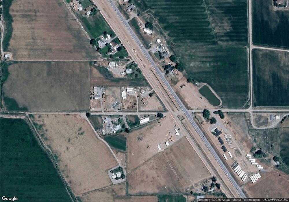
Map
Nearby Homes
- 18563 U S 550
- 19063 U S 550
- Lot 3 Solar Rd
- Lot 1 Solar Rd
- Lot 2 Solar Rd
- 18512 6500 Rd
- 65536 Solar Rd
- 65499 Solar Rd
- 66595 Kinikin Rd
- 19438 6495 Trail
- 66182 Crestview Dr
- 4117 Waterfall Dr
- 20124 6720 Ln
- 66711 Otter Rd
- 66356 Otter Rd
- 16885 Wildwood Dr
- TBD Woodgate Rd
- 17017 6725 Rd
- Lot 2 Trout Rd
- Lot 3 Trout Rd
- S 550 Hwy
- 66266 Rose Rd
- 66261 Rose Rd
- 66247 Rose Rd
- 18659 S Highway 550
- 18706 Highway 550
- W Rose Rd
- 66217 Rose Rd
- 18786 Highway 550
- 18700 U S 550
- 18700 Highway 550
- 66176 Rose Rd
- 18625 Highway 550
- 18610 S Highway 550
- 66176 Rose Rd
- 18600 S Highway 550
- 18600 U S 550
- 18570 U S 550
- 18905 Highway 550
- 18570 Highway 550