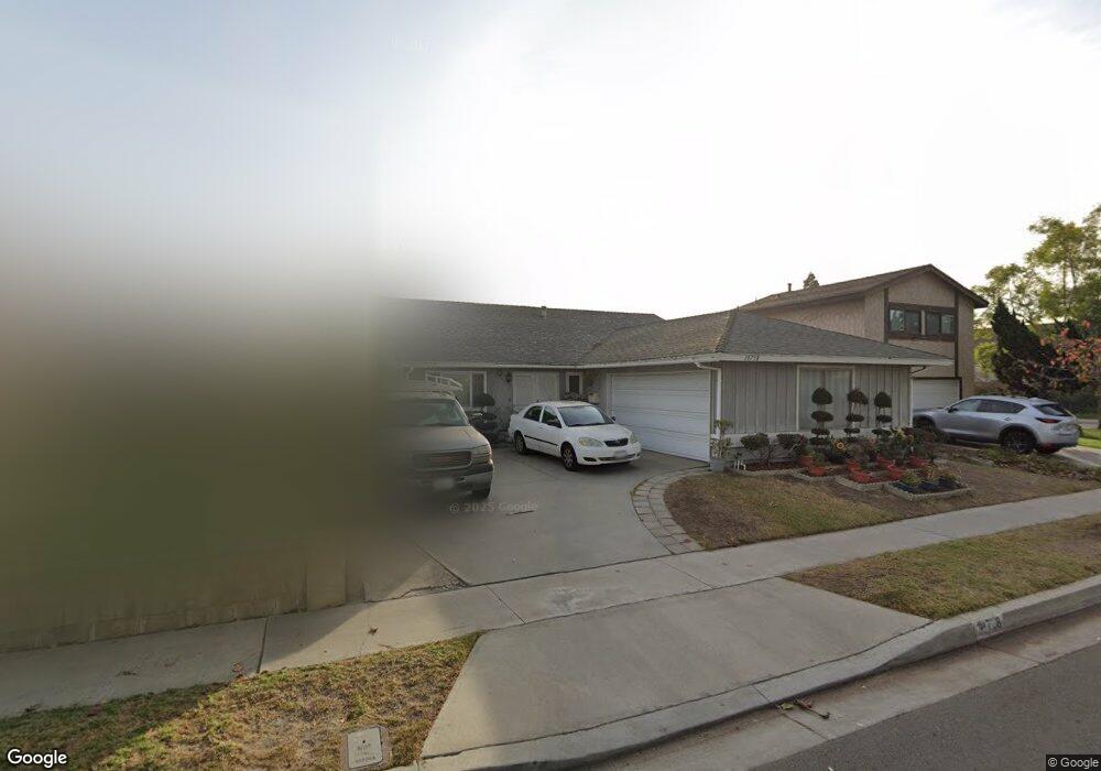
18738 Bloomfield Ave Cerritos, CA 90703
Estimated Value: $1,008,804 - $1,248,000
4
Beds
2
Baths
1,558
Sq Ft
$740/Sq Ft
Est. Value
About This Home
This home is located at 18738 Bloomfield Ave, Cerritos, CA 90703 and is currently estimated at $1,153,201, approximately $740 per square foot. 18738 Bloomfield Ave is a home located in Los Angeles County with nearby schools including Frank C. Leal Elementary School, Tetzlaff (Martin B.) Middle School, and Cerritos High School.
Ownership History
Date
Name
Owned For
Owner Type
Purchase Details
Closed on
Mar 8, 2023
Sold by
Puangbanyen Malinee
Bought by
Malinee Puangbanyen Living Trust
Current Estimated Value
Purchase Details
Closed on
Nov 5, 1993
Sold by
Williams Vernie O and Williams Gloria A
Bought by
Puangbanyen Montree
Home Financials for this Owner
Home Financials are based on the most recent Mortgage that was taken out on this home.
Original Mortgage
$158,400
Interest Rate
7.09%
Create a Home Valuation Report for This Property
The Home Valuation Report is an in-depth analysis detailing your home's value as well as a comparison with similar homes in the area
Home Values in the Area
Average Home Value in this Area
Purchase History
| Date | Buyer | Sale Price | Title Company |
|---|---|---|---|
| Malinee Puangbanyen Living Trust | -- | -- | |
| Puangbanyen Montree | $198,000 | Chicago Title Insurance Co |
Source: Public Records
Mortgage History
| Date | Status | Borrower | Loan Amount |
|---|---|---|---|
| Previous Owner | Puangbanyen Montree | $158,400 |
Source: Public Records
Tax History Compared to Growth
Tax History
| Year | Tax Paid | Tax Assessment Tax Assessment Total Assessment is a certain percentage of the fair market value that is determined by local assessors to be the total taxable value of land and additions on the property. | Land | Improvement |
|---|---|---|---|---|
| 2025 | $4,195 | $336,512 | $171,827 | $164,685 |
| 2024 | $4,195 | $329,914 | $168,458 | $161,456 |
| 2023 | $4,063 | $323,446 | $165,155 | $158,291 |
| 2022 | $3,999 | $317,105 | $161,917 | $155,188 |
| 2021 | $3,903 | $310,889 | $158,743 | $152,146 |
| 2019 | $3,812 | $301,670 | $154,036 | $147,634 |
| 2018 | $3,500 | $295,756 | $151,016 | $144,740 |
| 2016 | $3,350 | $284,272 | $145,152 | $139,120 |
| 2015 | $3,307 | $280,003 | $142,972 | $137,031 |
| 2014 | $3,246 | $274,519 | $140,172 | $134,347 |
Source: Public Records
Map
Nearby Homes
- 12361 Caravel Place
- 12360 Hedda Dr
- 19335 Derbyshire Ln
- 12711 Castleford Ln
- 0 Parcel: 7016-014-017 Ave Unit PW25183248
- 12356 Reva St
- 19008 Jeffrey Ave
- 13044 Hedda Ln
- 12132 Cambrian Cir
- 12567 Semora St
- 12417 Rose St
- 12525 Semora St
- 19657 Sequoia Ave
- 18006 Point Conception Place
- 18035 Horst Ave
- 12967 Moorshire Dr
- 13210 Sutton St
- 17721 Norwalk Blvd Unit 47
- 18425 Devlin Ave
- 18403 Devlin Ave
- 18734 Bloomfield Ave
- 18744 Bloomfield Ave
- 18747 Bechard Place
- 18728 Bloomfield Ave
- 18751 Bechard Place
- 18741 Bechard Place
- 18735 Bechard Place
- 18724 Bloomfield Ave
- 18729 Bechard Place
- 12609 Belmont Place
- 18718 Bloomfield Ave
- 12605 Belmont Place
- 12618 Caravel St
- 18744 Bechard Place
- 18723 Bechard Place
- 18740 Bechard Place
- 18750 Bechard Place
- 18714 Bloomfield Ave
- 18734 Bechard Place
- 18730 Danielle Ave