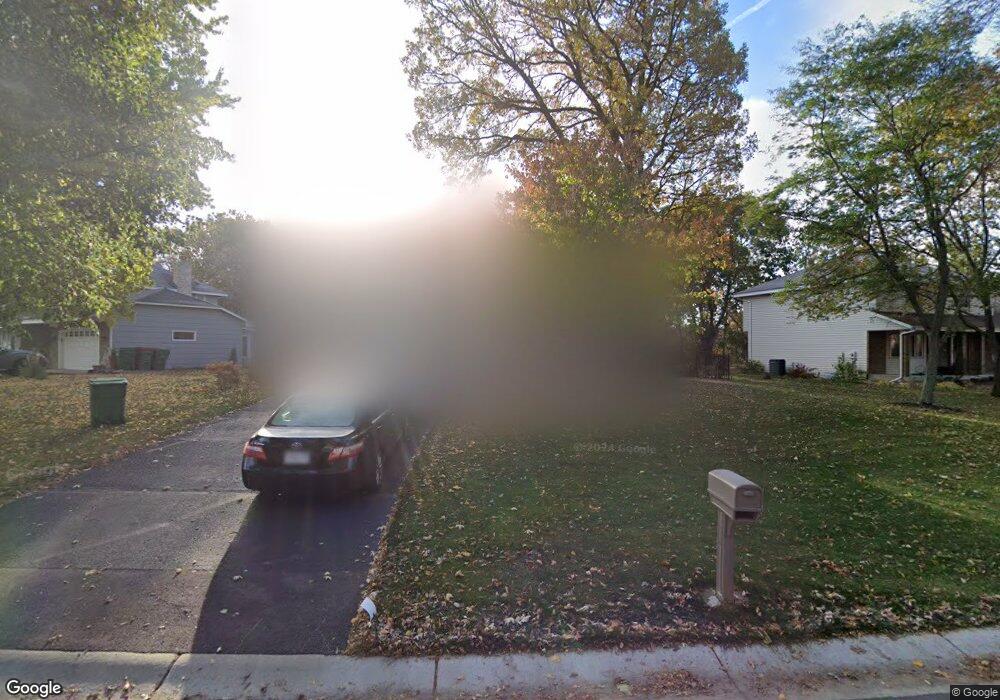
1874 127th Ln NW Coon Rapids, MN 55448
Estimated Value: $444,000 - $483,000
4
Beds
4
Baths
2,196
Sq Ft
$210/Sq Ft
Est. Value
About This Home
This home is located at 1874 127th Ln NW, Coon Rapids, MN 55448 and is currently estimated at $460,401, approximately $209 per square foot. 1874 127th Ln NW is a home located in Anoka County with nearby schools including Lucile Bruner Elementary School, Morris Bye Elementary School, and Laughlin Junior/Senior High School.
Ownership History
Date
Name
Owned For
Owner Type
Purchase Details
Closed on
Nov 3, 2017
Sold by
Kelly Edward J and Kelly Kathleen M
Bought by
Ahmed Ruqiya F and Mohamed Mukhtar H
Current Estimated Value
Home Financials for this Owner
Home Financials are based on the most recent Mortgage that was taken out on this home.
Original Mortgage
$310,276
Outstanding Balance
$260,134
Interest Rate
3.87%
Mortgage Type
FHA
Estimated Equity
$200,267
Create a Home Valuation Report for This Property
The Home Valuation Report is an in-depth analysis detailing your home's value as well as a comparison with similar homes in the area
Home Values in the Area
Average Home Value in this Area
Purchase History
| Date | Buyer | Sale Price | Title Company |
|---|---|---|---|
| Ahmed Ruqiya F | $2,254,172 | Liberty Title Inc |
Source: Public Records
Mortgage History
| Date | Status | Borrower | Loan Amount |
|---|---|---|---|
| Open | Ahmed Ruqiya F | $310,276 |
Source: Public Records
Tax History Compared to Growth
Tax History
| Year | Tax Paid | Tax Assessment Tax Assessment Total Assessment is a certain percentage of the fair market value that is determined by local assessors to be the total taxable value of land and additions on the property. | Land | Improvement |
|---|---|---|---|---|
| 2025 | $5,278 | $441,500 | $90,000 | $351,500 |
| 2024 | $5,278 | $441,000 | $87,000 | $354,000 |
| 2023 | $4,540 | $427,900 | $72,000 | $355,900 |
| 2022 | $4,207 | $432,800 | $72,000 | $360,800 |
| 2021 | $3,797 | $355,700 | $56,000 | $299,700 |
| 2020 | $3,765 | $334,300 | $56,000 | $278,300 |
| 2019 | $3,912 | $318,400 | $56,000 | $262,400 |
| 2018 | $3,505 | $289,300 | $0 | $0 |
| 2017 | $3,216 | $280,800 | $0 | $0 |
| 2016 | $3,289 | $254,700 | $0 | $0 |
| 2015 | -- | $254,700 | $50,000 | $204,700 |
| 2014 | -- | $213,600 | $35,400 | $178,200 |
Source: Public Records
Map
Nearby Homes
- 1930 127th Cir NW
- 12759 Ibis St NW
- 12554 Grouse St NW
- 12760 Raven St NW
- 1520 129th Ave NW
- 1593 126th Ln NW
- 1687 131st Ln NW
- 2147 125th Ln NW
- 1776 133rd Ave NW
- 12365 Jay St NW
- 1450 126th Ln NW
- 2068 124th Ln NW
- 12463 Drake St NW
- 13416 Swallow St NW
- 1234 128th Cir NW
- 1727 121st Ln NW
- 13519 Partridge Cir NW
- 2675 128th Ave NW
- 13182 Zion St NW
- 12488 Unity St NW
- 1858 127th Ln NW
- 1882 127th Ln NW
- 1850 127th Ln NW
- 12764 Killdeer St NW
- 1877 127th Ln NW
- 1869 127th Ln NW
- 1890 127th Ln NW
- 1861 127th Ln NW
- 1885 127th Ln NW
- 12735 Nightingale St NW
- 1853 127th Ln NW
- 12756 Killdeer St NW
- 1893 127th Ln NW
- 1898 127th Ln NW
- 12725 Nightingale St NW
- 1845 127th Ln NW
- 1836 127th Ln NW
- 1899 127th Ln NW
- 12753 Killdeer St NW
- 1970 128th Ave NW