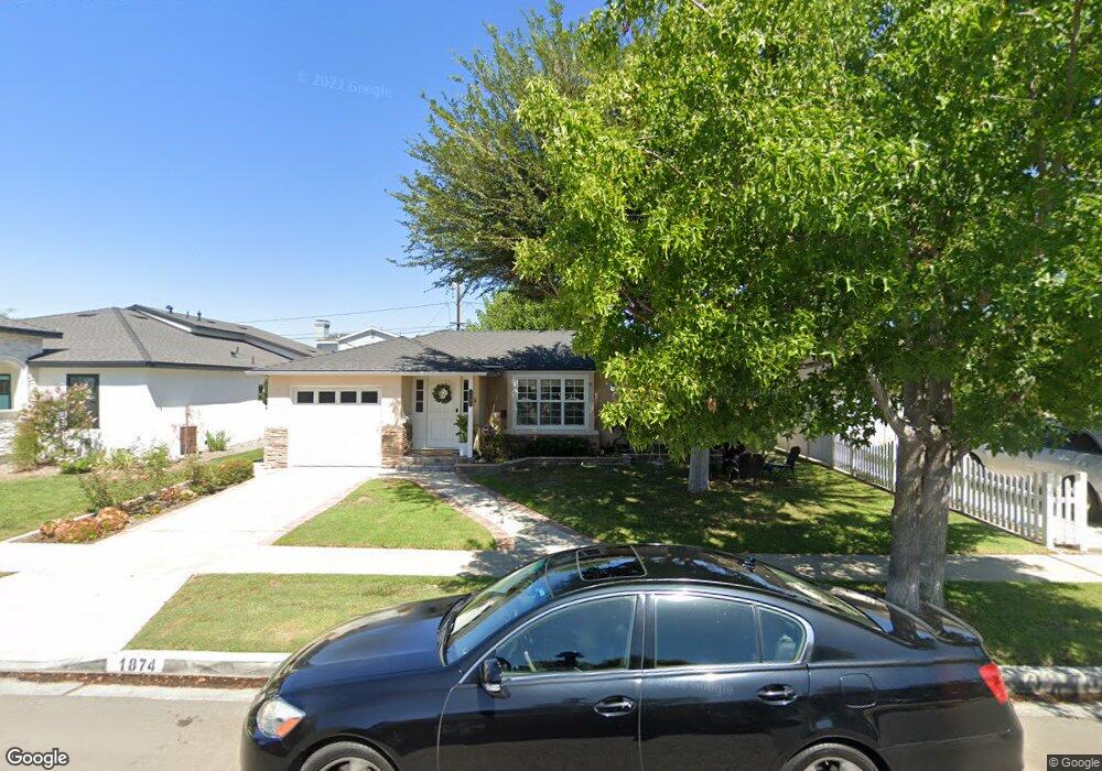
1874 Litchfield Ave Long Beach, CA 90815
Los Altos South NeighborhoodEstimated Value: $1,091,891 - $1,310,000
3
Beds
2
Baths
1,800
Sq Ft
$677/Sq Ft
Est. Value
About This Home
This home is located at 1874 Litchfield Ave, Long Beach, CA 90815 and is currently estimated at $1,217,973, approximately $676 per square foot. 1874 Litchfield Ave is a home located in Los Angeles County with nearby schools including Bixby Elementary School, Stanford Middle School, and Woodrow Wilson High School.
Ownership History
Date
Name
Owned For
Owner Type
Purchase Details
Closed on
Sep 25, 2014
Sold by
Patel Shreenidhi
Bought by
Patel Family Revocable Trust
Current Estimated Value
Purchase Details
Closed on
Feb 1, 1999
Sold by
Patel Shreenidhi
Bought by
Patel Shreenidhi and Patel Cheryl L
Home Financials for this Owner
Home Financials are based on the most recent Mortgage that was taken out on this home.
Original Mortgage
$156,800
Interest Rate
6.77%
Create a Home Valuation Report for This Property
The Home Valuation Report is an in-depth analysis detailing your home's value as well as a comparison with similar homes in the area
Home Values in the Area
Average Home Value in this Area
Purchase History
| Date | Buyer | Sale Price | Title Company |
|---|---|---|---|
| Patel Family Revocable Trust | -- | None Available | |
| Patel Shreenidhi | -- | Investors Title Company |
Source: Public Records
Mortgage History
| Date | Status | Borrower | Loan Amount |
|---|---|---|---|
| Closed | Patel Shreenidhi | $156,800 |
Source: Public Records
Tax History
| Year | Tax Paid | Tax Assessment Tax Assessment Total Assessment is a certain percentage of the fair market value that is determined by local assessors to be the total taxable value of land and additions on the property. | Land | Improvement |
|---|---|---|---|---|
| 2025 | $6,368 | $496,819 | $312,752 | $184,067 |
| 2024 | $6,368 | $487,078 | $306,620 | $180,458 |
| 2023 | $6,262 | $477,528 | $300,608 | $176,920 |
| 2022 | $5,878 | $468,165 | $294,714 | $173,451 |
| 2021 | $5,757 | $458,986 | $288,936 | $170,050 |
| 2019 | $5,673 | $445,374 | $280,367 | $165,007 |
| 2018 | $5,473 | $436,642 | $274,870 | $161,772 |
| 2016 | $5,023 | $419,689 | $264,198 | $155,491 |
| 2015 | $4,821 | $413,386 | $260,230 | $153,156 |
| 2014 | $4,787 | $405,289 | $255,133 | $150,156 |
Source: Public Records
Map
Nearby Homes
- 5300 E Atherton St Unit 2F
- 5110 E Atherton St Unit 62
- 5203 E Abbeyfield St
- 1591 Ramillo Ave
- 1507 Ramillo Ave
- 2039 Rutgers Ave
- 5036 E Atherton St Unit 26
- 1655 Clark Ave Unit 124
- 4769 E Malta St
- 2248 Montair Ave
- 5440 E La Pasada St
- 1425 Park Ave
- 1205 Bryant Rd
- 4835 E Anaheim St Unit 101
- 1841 Fanwood Ave
- 2425 Heather Ave
- 4701 E Anaheim St Unit 304
- 1350 Quincy Ave
- 1848 N College Cir
- 1344 Ximeno Ave
- 1868 Litchfield Ave
- 1880 Litchfield Ave
- 1917 Tulane Ave
- 1862 Litchfield Ave
- 1886 Litchfield Ave
- 1925 Tulane Ave
- 1909 Tulane Ave
- 1933 Tulane Ave
- 1869 Litchfield Ave
- 1901 Tulane Ave
- 1856 Litchfield Ave
- 1892 Litchfield Ave
- 1882 Ashbrook Ave
- 1863 Litchfield Ave
- 1941 Tulane Ave
- 1874 Ashbrook Ave
- 1857 Litchfield Ave
- 1850 Litchfield Ave
- 1902 Litchfield Ave
- 1849 Litchfield Ave
Your Personal Tour Guide
Ask me questions while you tour the home.