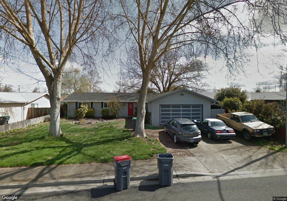
1874 Marys Way Central Point, OR 97502
Estimated Value: $349,181 - $389,000
3
Beds
2
Baths
1,308
Sq Ft
$289/Sq Ft
Est. Value
About This Home
This home is located at 1874 Marys Way, Central Point, OR 97502 and is currently estimated at $377,545, approximately $288 per square foot. 1874 Marys Way is a home located in Jackson County with nearby schools including Jewett Elementary School, Scenic Middle School, and Crater High School.
Ownership History
Date
Name
Owned For
Owner Type
Purchase Details
Closed on
Nov 26, 2013
Sold by
Mclendon Julie Ann and Briggs Julie Ann
Bought by
Mcclendon Julie Ann and Driggers Ramona L
Current Estimated Value
Home Financials for this Owner
Home Financials are based on the most recent Mortgage that was taken out on this home.
Original Mortgage
$126,600
Interest Rate
4.23%
Mortgage Type
New Conventional
Create a Home Valuation Report for This Property
The Home Valuation Report is an in-depth analysis detailing your home's value as well as a comparison with similar homes in the area
Home Values in the Area
Average Home Value in this Area
Purchase History
| Date | Buyer | Sale Price | Title Company |
|---|---|---|---|
| Mcclendon Julie Ann | -- | None Available |
Source: Public Records
Mortgage History
| Date | Status | Borrower | Loan Amount |
|---|---|---|---|
| Closed | Mcclendon Julie Ann | $126,600 |
Source: Public Records
Tax History Compared to Growth
Tax History
| Year | Tax Paid | Tax Assessment Tax Assessment Total Assessment is a certain percentage of the fair market value that is determined by local assessors to be the total taxable value of land and additions on the property. | Land | Improvement |
|---|---|---|---|---|
| 2025 | $3,256 | $195,860 | $71,650 | $124,210 |
| 2024 | $3,256 | $190,160 | $69,570 | $120,590 |
| 2023 | $3,152 | $184,630 | $67,550 | $117,080 |
| 2022 | $3,078 | $184,630 | $67,550 | $117,080 |
| 2021 | $2,990 | $179,260 | $65,590 | $113,670 |
| 2020 | $2,903 | $174,040 | $63,680 | $110,360 |
| 2019 | $2,832 | $164,060 | $60,020 | $104,040 |
| 2018 | $2,745 | $159,290 | $58,270 | $101,020 |
| 2017 | $2,676 | $159,290 | $58,270 | $101,020 |
| 2016 | $2,598 | $150,160 | $54,920 | $95,240 |
| 2015 | $2,490 | $150,160 | $54,920 | $95,240 |
| 2014 | $2,426 | $141,550 | $51,760 | $89,790 |
Source: Public Records
Map
Nearby Homes
- 335 Applewood Dr
- 356 Marian Ave Unit 40
- 4035 Rock Way
- 366 Marian Ave Unit 39
- 327 Brookhaven Dr
- 4626 N Pacific Hwy
- 426 Bridge Creek Dr
- 413 Sand Pointe Dr
- 422 Castle Rock Dr
- 907 Comet Ave
- 905 Comet Ave
- 1167 Boulder Ridge St
- 0 Boulder Ridge St
- 629 Bridge Creek Dr
- 1317 River Run St
- 920 N 10th St
- 55 Crater Ln
- 833 Hazel St
- 342 Hazel St
- 0 Peninger Rd
- 1886 Mary's Way
- 1886 Marys Way
- 1862 Marys Way
- 1873 Nancy Ave
- 1861 Nancy Ave
- 1885 Nancy Ave
- 1898 Marys Way
- 1871 Marys Way
- 1850 Marys Way
- 1897 Nancy Ave
- 1863 Marys Way
- 1855 Nancy Ave
- 2095 Scenic Ave
- 1852 Nancy Ave
- 1851 Marys Way
- 1882 Cottonwood Dr
- 1842 Marys Way
- 1876 Cottonwood Dr
- 1868 Cottonwood Dr
- 1845 Nancy Ave