1874 Pheasant Acre Ln W Cordova, TN 38016
Cordova NeighborhoodEstimated Value: $267,786 - $293,000
3
Beds
2
Baths
1,790
Sq Ft
$156/Sq Ft
Est. Value
About This Home
This home is located at 1874 Pheasant Acre Ln W, Cordova, TN 38016 and is currently estimated at $278,697, approximately $155 per square foot. 1874 Pheasant Acre Ln W is a home located in Shelby County with nearby schools including Chimneyrock Elementary School, Cordova High School, and Cordova Middle School.
Ownership History
Date
Name
Owned For
Owner Type
Purchase Details
Closed on
Aug 29, 1997
Sold by
Boston George David and Boston Maxine Towery
Bought by
Richards Elaine L
Current Estimated Value
Home Financials for this Owner
Home Financials are based on the most recent Mortgage that was taken out on this home.
Original Mortgage
$108,800
Outstanding Balance
$16,846
Interest Rate
7.46%
Estimated Equity
$261,851
Purchase Details
Closed on
Jul 28, 1994
Bought by
Boston George D
Create a Home Valuation Report for This Property
The Home Valuation Report is an in-depth analysis detailing your home's value as well as a comparison with similar homes in the area
Home Values in the Area
Average Home Value in this Area
Purchase History
| Date | Buyer | Sale Price | Title Company |
|---|---|---|---|
| Richards Elaine L | $136,000 | -- | |
| Boston George D | $127,900 | -- |
Source: Public Records
Mortgage History
| Date | Status | Borrower | Loan Amount |
|---|---|---|---|
| Open | Richards Elaine L | $108,800 |
Source: Public Records
Tax History Compared to Growth
Tax History
| Year | Tax Paid | Tax Assessment Tax Assessment Total Assessment is a certain percentage of the fair market value that is determined by local assessors to be the total taxable value of land and additions on the property. | Land | Improvement |
|---|---|---|---|---|
| 2025 | -- | $68,600 | $14,500 | $54,100 |
| 2024 | -- | $54,050 | $8,750 | $45,300 |
| 2023 | $3,293 | $54,050 | $8,750 | $45,300 |
| 2022 | $3,293 | $54,050 | $8,750 | $45,300 |
| 2021 | $3,331 | $54,050 | $8,750 | $45,300 |
| 2020 | $2,536 | $35,000 | $8,750 | $26,250 |
| 2019 | $2,536 | $35,000 | $8,750 | $26,250 |
| 2018 | $2,536 | $35,000 | $8,750 | $26,250 |
| 2017 | $1,439 | $35,000 | $8,750 | $26,250 |
| 2016 | $1,354 | $30,975 | $0 | $0 |
| 2014 | $1,354 | $30,975 | $0 | $0 |
Source: Public Records
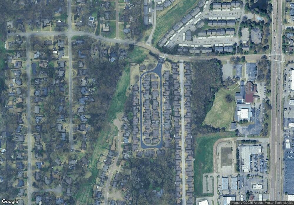
Map
Nearby Homes
- 1905 Pheasant Acre Ln E
- 1882 Pheasant Acre Ln E
- 1888 Pheasant Acre Ln E
- 1840 Woodchase Glen Dr
- 4011 Woodchase Cove
- 1895 Wood Oak Dr
- 2029 Woodchase Cove
- 1811 Wood Oak Dr
- 2065 Steeplebrook Dr
- 7695 Chapel Ridge Dr
- 1592 W Southfield Cir Unit 52
- 1618 E Southfield Cir
- 1655 W Southfield Cir Unit C
- 2033 Westbriar Dr
- 2000 Westbriar Dr
- 1707 Old Mill Stream
- 1682 Smokehouse Dr
- 1593 Lacewing Trace Ln
- 8314 Mangrove Dr
- 2288 Germantown Dr
- 1880 Pheasant Acre Ln W
- 1870 Pheasant Acre Ln W
- 1873 Pheasant Acre Ln E
- 1886 Pheasant Acre Ln W
- 1864 Pheasant Acre Ln W
- 1867 Pheasant Acre Ln E
- 1877 Pheasant Acre Ln E
- 1871 Pheasant Acre Ln W
- 1879 Pheasant Acre Ln W
- 1865 Pheasant Acre Ln W
- 1883 Pheasant Acre Ln E
- 1863 Pheasant Acre Ln E
- 1885 Pheasant Acre Ln W
- 1892 Pheasant Acre Ln W
- 1858 Pheasant Acre Ln W
- 1861 Pheasant Acre Ln W
- 1889 Pheasant Acre Ln E
- 0 E Pheasant Acres Ln Unit 10026304
- 1857 Pheasant Acre Ln E
- 1891 Pheasant Acre Ln W