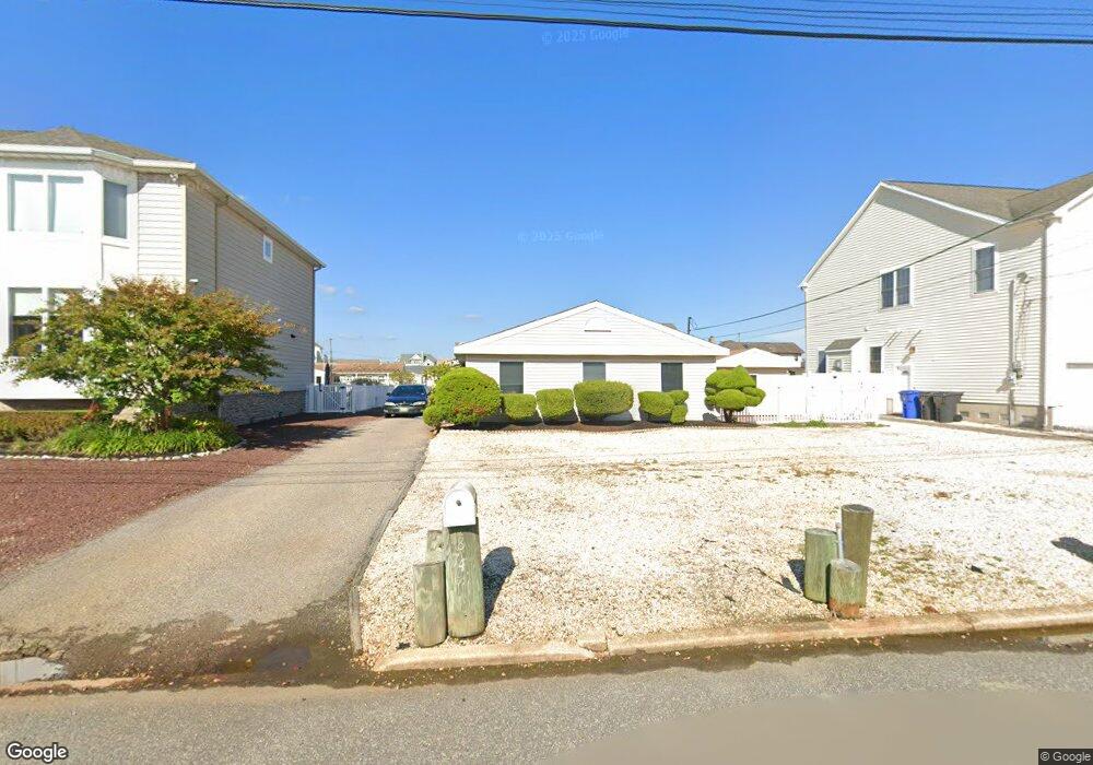
1874 Starboard Ct Toms River, NJ 08753
Estimated Value: $535,948 - $841,000
2
Beds
1
Bath
868
Sq Ft
$755/Sq Ft
Est. Value
About This Home
This home is located at 1874 Starboard Ct, Toms River, NJ 08753 and is currently estimated at $655,737, approximately $755 per square foot. 1874 Starboard Ct is a home located in Ocean County.
Ownership History
Date
Name
Owned For
Owner Type
Purchase Details
Closed on
Jul 19, 2023
Sold by
Sisler Virginia J
Bought by
Sisler Virginia J
Current Estimated Value
Purchase Details
Closed on
Feb 10, 2011
Sold by
Smith George Robert
Bought by
Smith George Robert
Purchase Details
Closed on
Aug 13, 2004
Sold by
Levin Sanford H
Bought by
Levin Sanford H and Smith George Robert
Create a Home Valuation Report for This Property
The Home Valuation Report is an in-depth analysis detailing your home's value as well as a comparison with similar homes in the area
Home Values in the Area
Average Home Value in this Area
Purchase History
| Date | Buyer | Sale Price | Title Company |
|---|---|---|---|
| Sisler Virginia J | -- | None Listed On Document | |
| Sisler Virginia J | -- | None Listed On Document | |
| Smith George Robert | -- | None Available | |
| Levin Sanford H | -- | -- |
Source: Public Records
Tax History Compared to Growth
Tax History
| Year | Tax Paid | Tax Assessment Tax Assessment Total Assessment is a certain percentage of the fair market value that is determined by local assessors to be the total taxable value of land and additions on the property. | Land | Improvement |
|---|---|---|---|---|
| 2025 | $7,499 | $411,800 | $275,000 | $136,800 |
| 2024 | $7,128 | $411,800 | $275,000 | $136,800 |
| 2023 | $6,873 | $411,800 | $275,000 | $136,800 |
| 2022 | $6,873 | $411,800 | $275,000 | $136,800 |
| 2021 | $6,553 | $261,600 | $197,500 | $64,100 |
| 2020 | $6,524 | $261,600 | $197,500 | $64,100 |
| 2019 | $6,242 | $261,600 | $197,500 | $64,100 |
| 2018 | $6,158 | $261,600 | $197,500 | $64,100 |
| 2017 | $6,106 | $261,600 | $197,500 | $64,100 |
| 2016 | $5,946 | $261,600 | $197,500 | $64,100 |
| 2015 | $5,721 | $261,600 | $197,500 | $64,100 |
| 2014 | $5,447 | $261,600 | $197,500 | $64,100 |
Source: Public Records
Map
Nearby Homes
- 1850 Ensign Ct
- 1836 Ensign Ct
- 1939 Ship Ct
- 1145 Kenton Dr
- 8 Pumpshire Rd
- 141 Yellowbank Rd
- 890 Fairview Dr
- 1916 Waters Edge Dr Unit 16
- 5 Dublin Ct
- 2517 Waters Edge Dr Unit 17
- 1813 Waters Edge Dr
- 1019 Waters Edge Dr
- 1083 Crystal Dr
- 1035 Tralee Dr
- 230 Christoffer Terrace
- 169 S Shore Dr
- 1214 Waters Edge Dr Unit 14
- 193 Bay Stream Dr
- 2 Cedar Tree Ln
- 173 Bay Stream Dr
- 1870 Starboard Ct
- 1878 Starboard Ct
- 1882 Starboard Ct
- 1866 Starboard Ct
- 1873 Starboard Ct
- 1869 Starboard Ct
- 1877 Starboard Ct
- 1865 Starboard Ct
- 1873 Compass Ct
- 1862 Starboard Ct
- 1881 Starboard Ct
- 1886 Starboard Ct
- 1877 Compass Ct
- 1869 Compass Ct
- 1881 Compass Ct
- 1865 Compass Ct
- 1861 Starboard Ct
- 1850 Lookout Dr
- 1858 Starboard Ct
- 1885 Compass Ct