Estimated Value: $450,000 - $735,000
--
Bed
4
Baths
4,101
Sq Ft
$141/Sq Ft
Est. Value
About This Home
This home is located at 1875 Braden Rd, Mason, TN 38049 and is currently estimated at $578,959, approximately $141 per square foot. 1875 Braden Rd is a home located in Fayette County with nearby schools including Oakland Elementary School, West Junior High School, and Fayette Ware Comprehensive High School.
Ownership History
Date
Name
Owned For
Owner Type
Purchase Details
Closed on
Oct 2, 2024
Sold by
Wiseman Robert H
Bought by
Robert Harry Wiseman Investment Services Trus and Warren
Current Estimated Value
Purchase Details
Closed on
Mar 26, 1998
Sold by
Craig Jeanette
Bought by
Wiseman Robert H and Wiseman Peggy B
Purchase Details
Closed on
Mar 25, 1998
Bought by
Wiseman Robert H and Wiseman Peggy B
Purchase Details
Closed on
May 10, 1996
Sold by
Byars Jesse E
Bought by
Wiseman Robert H
Purchase Details
Closed on
Feb 27, 1995
Sold by
Jones Lloyd L and Jones Johnny
Bought by
Michael Billy J
Purchase Details
Closed on
Feb 21, 1995
Sold by
Jones Lloyd L and Jones Johnny
Bought by
Michael Billy J
Purchase Details
Closed on
Jun 29, 1994
Purchase Details
Closed on
Apr 14, 1994
Bought by
Byars Jesse E and Byars Mary V
Create a Home Valuation Report for This Property
The Home Valuation Report is an in-depth analysis detailing your home's value as well as a comparison with similar homes in the area
Home Values in the Area
Average Home Value in this Area
Purchase History
| Date | Buyer | Sale Price | Title Company |
|---|---|---|---|
| Robert Harry Wiseman Investment Services Trus | -- | None Listed On Document | |
| Wiseman Robert H | $24,005 | -- | |
| Wiseman Robert H | $24,000 | -- | |
| Wiseman Robert H | $78,880 | -- | |
| Michael Billy J | $13,300 | -- | |
| Michael Billy J | $13,300 | -- | |
| -- | -- | -- | |
| Byars Jesse E | -- | -- |
Source: Public Records
Tax History Compared to Growth
Tax History
| Year | Tax Paid | Tax Assessment Tax Assessment Total Assessment is a certain percentage of the fair market value that is determined by local assessors to be the total taxable value of land and additions on the property. | Land | Improvement |
|---|---|---|---|---|
| 2025 | $962 | $104,950 | $20,850 | $84,100 |
| 2024 | $962 | $74,450 | $14,875 | $59,575 |
| 2023 | $962 | $74,450 | $0 | $0 |
| 2022 | $962 | $74,450 | $14,875 | $59,575 |
| 2021 | $962 | $74,450 | $14,875 | $59,575 |
| 2020 | $986 | $74,450 | $14,875 | $59,575 |
| 2019 | $986 | $65,425 | $13,200 | $52,225 |
| 2018 | $986 | $65,425 | $13,200 | $52,225 |
| 2017 | $986 | $65,425 | $13,200 | $52,225 |
| 2016 | $993 | $61,875 | $13,325 | $48,550 |
| 2015 | $993 | $61,875 | $13,325 | $48,550 |
| 2014 | $993 | $61,875 | $13,325 | $48,550 |
Source: Public Records
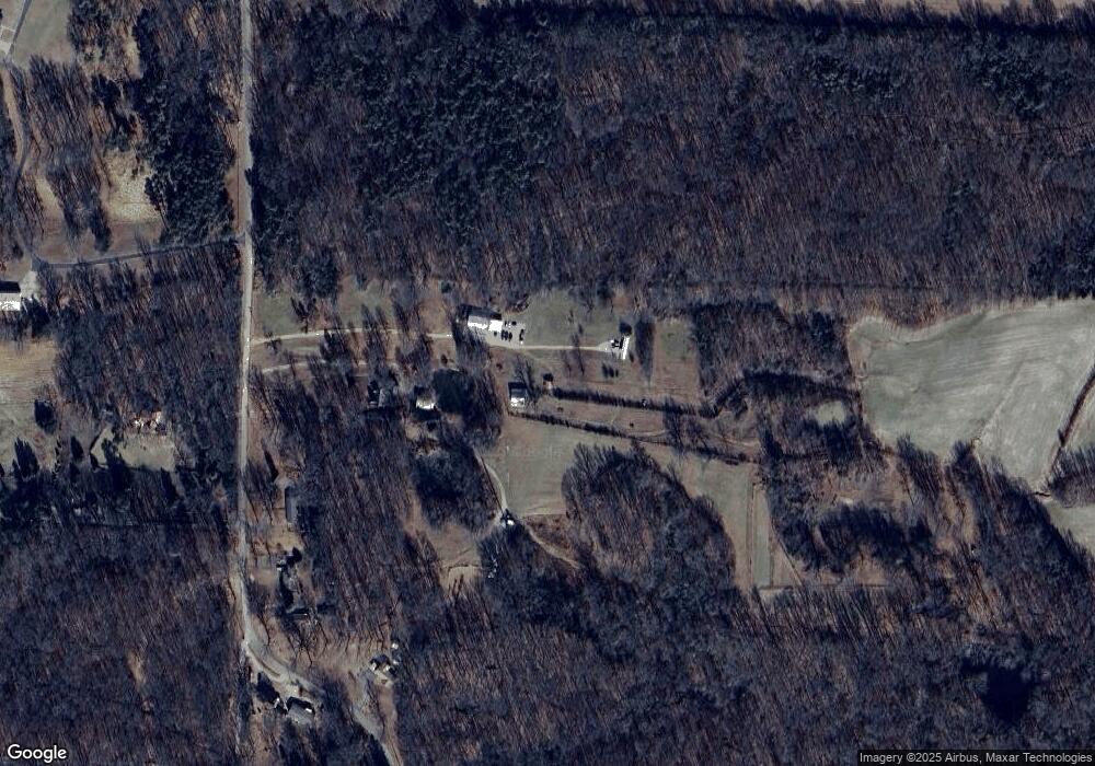
Map
Nearby Homes
- 0 Centerpoint Dr Unit 10206050
- 900 Centerpoint Dr
- 1215 Beaver Creek Rd
- 1215 Beaver Creek Dr
- 265 Oakwood Rd
- 0 Willow Oak Dr
- 145 Walnut Bend Rd
- 376 Watson Dr
- 370 Watson Drive Extension
- 0 29.71 ACRES Hwy 196 Main St Hwy
- 0 Hwy 196-10acres Main St Hwy Unit 10176123
- 000 Sinai Dr
- 00 Sinai Dr
- HWY 196 Hwy S
- 15225 U S 70
- 21790 Tennessee 196
- 0 Sinai Dr
- 0 Route 59
- 10147 Conner Field Ln
- 10161 Conner Field Ln