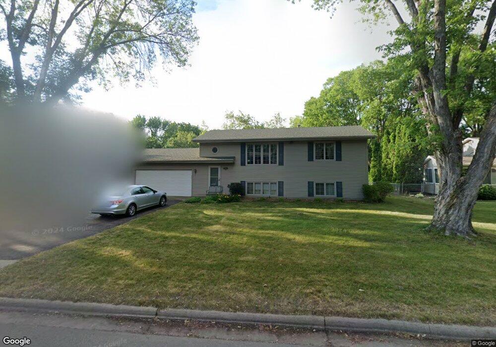
1875 Dell St Saint Paul, MN 55110
Estimated Value: $363,984 - $391,000
3
Beds
2
Baths
1,820
Sq Ft
$209/Sq Ft
Est. Value
About This Home
This home is located at 1875 Dell St, Saint Paul, MN 55110 and is currently estimated at $379,996, approximately $208 per square foot. 1875 Dell St is a home located in Ramsey County with nearby schools including Willow Lane Elementary School, Sunrise Park Middle School, and Gentry Academy High.
Ownership History
Date
Name
Owned For
Owner Type
Purchase Details
Closed on
Jul 1, 2019
Sold by
Jordan Gary D
Bought by
Walker Harold D and Walker Rosie J
Current Estimated Value
Home Financials for this Owner
Home Financials are based on the most recent Mortgage that was taken out on this home.
Original Mortgage
$283,765
Outstanding Balance
$249,516
Interest Rate
4%
Estimated Equity
$130,480
Purchase Details
Closed on
Apr 1, 2019
Sold by
Jordan Judith A
Bought by
Jordan Gary D
Home Financials for this Owner
Home Financials are based on the most recent Mortgage that was taken out on this home.
Original Mortgage
$9,500
Interest Rate
4%
Mortgage Type
Stand Alone Second
Create a Home Valuation Report for This Property
The Home Valuation Report is an in-depth analysis detailing your home's value as well as a comparison with similar homes in the area
Home Values in the Area
Average Home Value in this Area
Purchase History
| Date | Buyer | Sale Price | Title Company |
|---|---|---|---|
| Walker Harold D | $297,758 | Results Title | |
| Jordan Gary D | -- | Titlesmart Inc |
Source: Public Records
Mortgage History
| Date | Status | Borrower | Loan Amount |
|---|---|---|---|
| Open | Walker Harold D | $283,765 | |
| Previous Owner | Jordan Gary D | $9,500 |
Source: Public Records
Tax History
| Year | Tax Paid | Tax Assessment Tax Assessment Total Assessment is a certain percentage of the fair market value that is determined by local assessors to be the total taxable value of land and additions on the property. | Land | Improvement |
|---|---|---|---|---|
| 2025 | $4,536 | $364,100 | $92,300 | $271,800 |
| 2023 | $4,536 | $326,100 | $92,300 | $233,800 |
| 2022 | $4,050 | $305,000 | $92,300 | $212,700 |
| 2021 | $3,606 | $280,400 | $92,300 | $188,100 |
| 2020 | $3,504 | $261,300 | $92,300 | $169,000 |
| 2019 | $3,088 | $259,000 | $92,300 | $166,700 |
| 2018 | $2,782 | $246,000 | $92,300 | $153,700 |
| 2017 | $2,630 | $229,200 | $92,300 | $136,900 |
| 2016 | $2,808 | $0 | $0 | $0 |
| 2015 | $2,546 | $216,100 | $86,800 | $129,300 |
| 2014 | $2,540 | $0 | $0 | $0 |
Source: Public Records
Map
Nearby Homes
- 1807 1/2 County Road E E Unit 34
- 3584 Midland Ave
- 3701 Linden Place
- 3675 White Bear Ave N
- 3474 White Bear Ave N
- 1778 Linden Cove
- 1787 Cheri Ct
- 1782 Cedar Cove
- 3834 Linden Ave
- 2041 Orchard Ln
- 3823 Midland Ave
- 1893 Roth St
- 3920 White Bear Ave N
- 1943 Oak Knoll Dr
- 3512 Mcknight Rd N
- 3407 Emerald Dr
- 1960 Lakeaires Blvd
- 1948 Lakeaires Blvd
- 3810 Mcknight Rd N
- 1613 County Road D E Unit L
- 1865 Dell St
- 1885 Dell St
- 1893 Dell St
- 1862 County Road E E
- 3552 Auger Ave
- 3560 Auger Ave
- 3542 Auger Ave
- 1874 Dell St
- 1884 Dell St
- 1864 Dell St
- 3568 Auger Ave
- 3563 Highland Ave
- 1892 Dell St
- 3551 Highland Ave
- 3557 Highland Ave
- 3530 Auger Ave
- 3576 Auger Ave
- 3537 Highland Ave
- 1878 County Road E E
- 1878 County Rd E
Your Personal Tour Guide
Ask me questions while you tour the home.