1875 High Point Fruita, CO 81521
Estimated Value: $922,000 - $1,224,000
4
Beds
3
Baths
3,742
Sq Ft
$276/Sq Ft
Est. Value
About This Home
This home is located at 1875 High Point, Fruita, CO 81521 and is currently estimated at $1,032,494, approximately $275 per square foot. 1875 High Point is a home located in Mesa County with nearby schools including Monument Ridge Elementary School, Fruita Middle School, and Fruita 8/9 School.
Ownership History
Date
Name
Owned For
Owner Type
Purchase Details
Closed on
May 15, 2002
Sold by
Orth Jerry L and Orth Karen
Bought by
Dixon Danny W and Dixon Sharon L
Current Estimated Value
Home Financials for this Owner
Home Financials are based on the most recent Mortgage that was taken out on this home.
Original Mortgage
$40,000
Interest Rate
7%
Create a Home Valuation Report for This Property
The Home Valuation Report is an in-depth analysis detailing your home's value as well as a comparison with similar homes in the area
Home Values in the Area
Average Home Value in this Area
Purchase History
| Date | Buyer | Sale Price | Title Company |
|---|---|---|---|
| Dixon Danny W | $100,000 | Stewart Title |
Source: Public Records
Mortgage History
| Date | Status | Borrower | Loan Amount |
|---|---|---|---|
| Closed | Dixon Danny W | $40,000 |
Source: Public Records
Tax History
| Year | Tax Paid | Tax Assessment Tax Assessment Total Assessment is a certain percentage of the fair market value that is determined by local assessors to be the total taxable value of land and additions on the property. | Land | Improvement |
|---|---|---|---|---|
| 2024 | $2,095 | $29,330 | $1,880 | $27,450 |
| 2023 | $2,095 | $29,330 | $1,880 | $27,450 |
| 2022 | $3,011 | $41,370 | $1,520 | $39,850 |
| 2021 | $3,029 | $42,670 | $1,670 | $41,000 |
| 2020 | $2,943 | $42,370 | $1,280 | $41,090 |
| 2019 | $2,785 | $42,370 | $1,280 | $41,090 |
| 2018 | $2,969 | $41,180 | $1,680 | $39,500 |
| 2017 | $2,835 | $41,180 | $1,680 | $39,500 |
| 2016 | $2,098 | $34,360 | $1,330 | $33,030 |
Source: Public Records
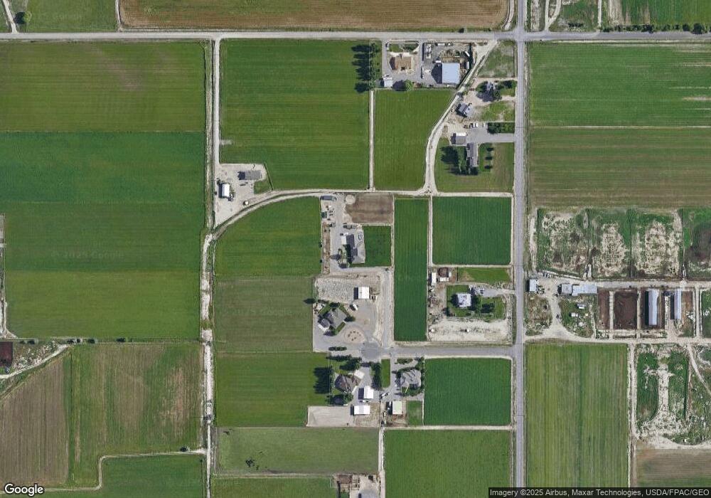
Map
Nearby Homes
- 1850 Golden Ranch Rd
- 1895 L Rd
- 1359 Horseshoe Dr
- 1245 Periwinkle Ct
- 1243 Periwinkle Ct
- TBD L Rd
- 1222 Periwinkle Ln
- 1403 19 Rd
- 1024 Snowdrop Ct
- 1206 Periwinkle Ln
- 1812 M 3 4 Rd
- 1810 M 3 4 Rd
- 1215 Sunrose Ln Unit 3-42
- 1107 Sunrose Ln Unit 39
- 1117 Buttercup Ln
- 1110 Buttercup Ln Unit A
- 952 Echo Canyon St
- 1111 Daisy Ln Unit 32
- 812 Alyssum Ct
- 1460 Powell St
Your Personal Tour Guide
Ask me questions while you tour the home.