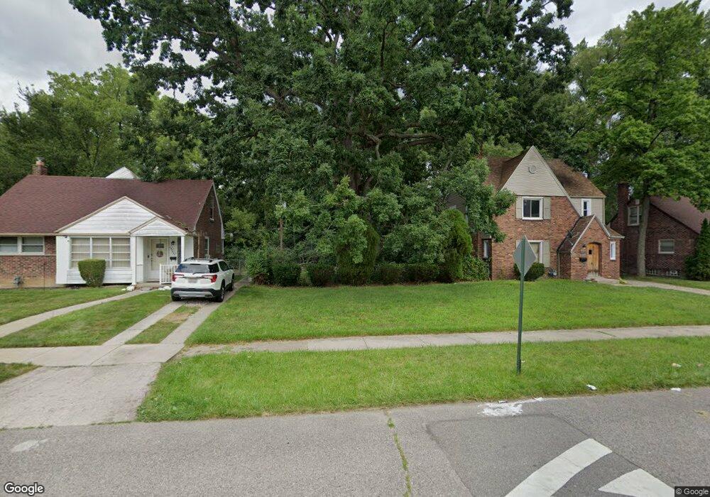
18756 Glenhurst St Detroit, MI 48219
Seven Mile-Rouge NeighborhoodEstimated Value: $94,000 - $128,000
--
Bed
--
Bath
--
Sq Ft
5,227
Sq Ft Lot
About This Home
This home is located at 18756 Glenhurst St, Detroit, MI 48219 and is currently estimated at $111,000. 18756 Glenhurst St is a home located in Wayne County with nearby schools including Ralph W. Emerson Elementary-Middle School, Charles L. Spain Elementary-Middle School, and Edward 'Duke' Ellington Conservatory of Music and Art.
Ownership History
Date
Name
Owned For
Owner Type
Purchase Details
Closed on
Jan 13, 2016
Sold by
Wayne County Treasurer
Bought by
Detroit Land Bank Authority
Current Estimated Value
Purchase Details
Closed on
Oct 22, 2008
Sold by
Preston Steven C
Bought by
Henderson Yolanda
Purchase Details
Closed on
Dec 13, 2007
Sold by
Wells Fargo Bank Na
Bought by
Hud
Purchase Details
Closed on
Jun 6, 2007
Sold by
Smith John J and Smith Angela
Bought by
Wells Fargo Bank Na
Create a Home Valuation Report for This Property
The Home Valuation Report is an in-depth analysis detailing your home's value as well as a comparison with similar homes in the area
Home Values in the Area
Average Home Value in this Area
Purchase History
| Date | Buyer | Sale Price | Title Company |
|---|---|---|---|
| Detroit Land Bank Authority | -- | None Available | |
| Henderson Yolanda | $15,500 | None Available | |
| Hud | -- | None Available | |
| Wells Fargo Bank Na | $144,248 | None Available |
Source: Public Records
Tax History Compared to Growth
Tax History
| Year | Tax Paid | Tax Assessment Tax Assessment Total Assessment is a certain percentage of the fair market value that is determined by local assessors to be the total taxable value of land and additions on the property. | Land | Improvement |
|---|---|---|---|---|
| 2025 | -- | $0 | $0 | $0 |
| 2024 | -- | $0 | $0 | $0 |
| 2023 | $0 | $0 | $0 | $0 |
| 2022 | $0 | $0 | $0 | $0 |
| 2021 | $0 | $0 | $0 | $0 |
| 2020 | $84 | $0 | $0 | $0 |
| 2019 | $84 | $0 | $0 | $0 |
| 2018 | $0 | $0 | $0 | $0 |
| 2017 | $50 | $0 | $0 | $0 |
| 2016 | $50 | $500 | $0 | $0 |
| 2015 | $50 | $500 | $0 | $0 |
| 2013 | $108 | $1,082 | $0 | $0 |
| 2010 | -- | $1,229 | $1,056 | $173 |
Source: Public Records
Map
Nearby Homes
- 18581 Appleton St
- 18932 Riverview St
- 19010 Riverview St
- 18524 Riverview St
- 18240 Codding St
- 18988 Dale St
- 19192 Archer St
- 18244 Berg Rd
- 19147 Redfern St
- 22321 Margareta St
- 19466 Archer St
- 18453 Woodbine St
- 19212 Northrop St
- 19490 Archer St
- 19394 Riverview St
- 19286 Northrop St
- 17781 Northrop St
- 18995 Wormer St
- 19612 Dale St
- 18522 Lenore
- 18766 Glenhurst St
- 18746 Glenhurst St
- 18740 Glenhurst St
- 18774 Glenhurst St
- 18784 Glenhurst St
- 18730 Glenhurst St
- 18792 Glenhurst St
- 18761 Glenhurst St
- 18751 Glenhurst St
- 18769 Glenhurst St
- 18720 Glenhurst St
- 18741 Glenhurst St
- 18900 Glenhurst St
- 18785 Glenhurst St
- 18723 Glenhurst St
- 18910 Glenhurst St
- 18733 Glenhurst St
- 18715 Glenhurst St
- 18907 Glenhurst St
- 18700 Codding St