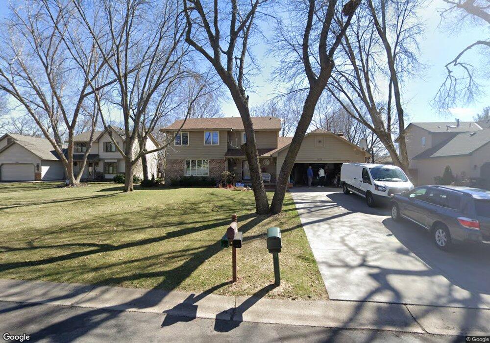
1876 132nd Ave NW Coon Rapids, MN 55448
Estimated Value: $431,000 - $473,000
4
Beds
4
Baths
3,772
Sq Ft
$120/Sq Ft
Est. Value
About This Home
This home is located at 1876 132nd Ave NW, Coon Rapids, MN 55448 and is currently estimated at $454,350, approximately $120 per square foot. 1876 132nd Ave NW is a home located in Anoka County with nearby schools including Lucile Bruner Elementary School, Morris Bye Elementary School, and Laughlin Junior/Senior High School.
Ownership History
Date
Name
Owned For
Owner Type
Purchase Details
Closed on
Mar 14, 2019
Sold by
Boevers Brian C and Boevers Sara H
Bought by
Kopelchak Mykhailo and Kopelchak Valentyna
Current Estimated Value
Home Financials for this Owner
Home Financials are based on the most recent Mortgage that was taken out on this home.
Original Mortgage
$244,000
Interest Rate
4.4%
Mortgage Type
Commercial
Create a Home Valuation Report for This Property
The Home Valuation Report is an in-depth analysis detailing your home's value as well as a comparison with similar homes in the area
Home Values in the Area
Average Home Value in this Area
Purchase History
| Date | Buyer | Sale Price | Title Company |
|---|---|---|---|
| Kopelchak Mykhailo | $305,000 | Edina Realty Title Inc |
Source: Public Records
Mortgage History
| Date | Status | Borrower | Loan Amount |
|---|---|---|---|
| Closed | Kopelchak Mykhailo | $244,000 |
Source: Public Records
Tax History Compared to Growth
Tax History
| Year | Tax Paid | Tax Assessment Tax Assessment Total Assessment is a certain percentage of the fair market value that is determined by local assessors to be the total taxable value of land and additions on the property. | Land | Improvement |
|---|---|---|---|---|
| 2025 | $4,507 | $426,800 | $90,000 | $336,800 |
| 2024 | $4,507 | $422,400 | $87,000 | $335,400 |
| 2023 | $4,136 | $411,200 | $72,000 | $339,200 |
| 2022 | $3,960 | $416,900 | $72,000 | $344,900 |
| 2021 | $3,863 | $355,700 | $56,000 | $299,700 |
| 2020 | $3,890 | $339,600 | $56,000 | $283,600 |
| 2019 | $3,758 | $328,100 | $56,000 | $272,100 |
| 2018 | $3,703 | $308,700 | $0 | $0 |
| 2017 | $3,339 | $295,200 | $0 | $0 |
| 2016 | $3,411 | $263,200 | $0 | $0 |
| 2015 | $3,312 | $263,200 | $50,000 | $213,200 |
| 2014 | -- | $221,600 | $35,400 | $186,200 |
Source: Public Records
Map
Nearby Homes
- 1776 133rd Ave NW
- 1687 131st Ln NW
- 13416 Swallow St NW
- 1930 127th Cir NW
- 13519 Partridge Cir NW
- 1520 129th Ave NW
- 12760 Raven St NW
- 12554 Grouse St NW
- 12796 Bluebird St NW
- 1593 126th Ln NW
- 1450 126th Ln NW
- 2147 125th Ln NW
- 2270 137th Ln NW
- 13182 Zion St NW
- 1234 128th Cir NW
- 12365 Jay St NW
- 2068 124th Ln NW
- 1625 124th Ave NW
- 12463 Drake St NW
- 2201 139th Ave NW
- 1886 132nd Ave NW
- 1866 132nd Ave NW
- 1887 131st Ln NW
- 1877 131st Ln NW
- 3023 132nd Ave NW
- 3042 132nd Ave NW
- 1873 132nd Ave NW
- 1856 132nd Ave NW
- 1883 132nd Ave NW
- 1867 131st Ln NW
- 13155 Martin St NW
- 13205 Killdeer St NW
- 1857 131st Ln NW
- 13200 Martin St NW
- 13184 Martin St NW
- 13213 Martin St NW
- 1848 132nd Ave NW
- 13168 Martin St NW
- 13217 Killdeer St NW
- 13208 Martin St NW