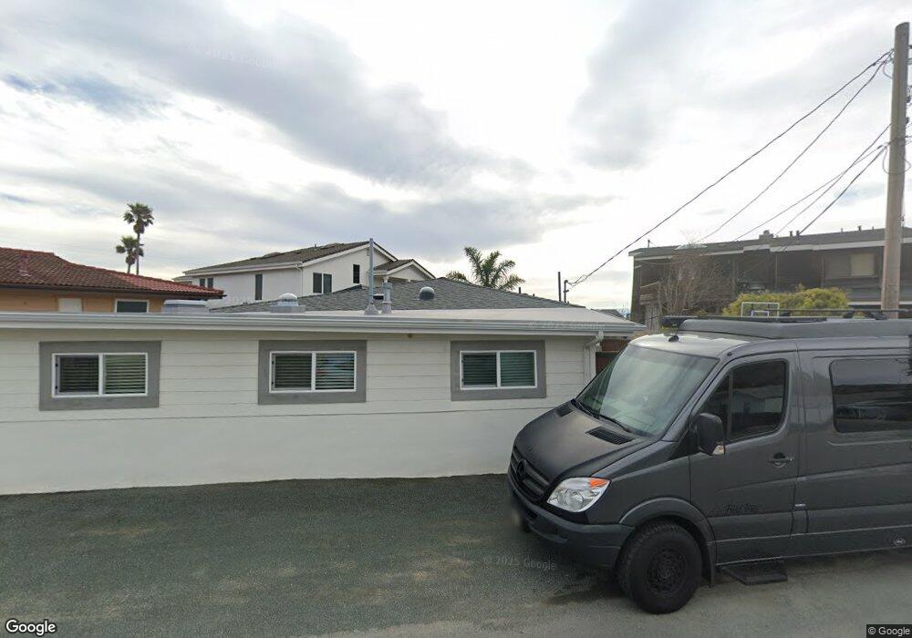
1876 Circle Ln Cayucos, CA 93430
Cayucos NeighborhoodEstimated Value: $845,000 - $1,638,000
2
Beds
1
Bath
1,731
Sq Ft
$707/Sq Ft
Est. Value
About This Home
This home is located at 1876 Circle Ln, Cayucos, CA 93430 and is currently estimated at $1,223,416, approximately $706 per square foot. 1876 Circle Ln is a home located in San Luis Obispo County.
Ownership History
Date
Name
Owned For
Owner Type
Purchase Details
Closed on
Oct 12, 2023
Sold by
Rhys Tyler Jacob Daniel and Rhys Heidi Kathrine
Bought by
Rhys Family Trust and Rhys
Current Estimated Value
Purchase Details
Closed on
Apr 26, 2019
Sold by
Hollis Larry
Bought by
Jacob Daniel Rhys Tyler and Czirban Rhys Heidi Kathrine
Home Financials for this Owner
Home Financials are based on the most recent Mortgage that was taken out on this home.
Original Mortgage
$489,250
Interest Rate
4.1%
Mortgage Type
New Conventional
Purchase Details
Closed on
Mar 13, 2008
Sold by
Rowell Roger W and Rowell Callie A
Bought by
Hollis Larry
Purchase Details
Closed on
Sep 30, 2004
Sold by
Mclernon David and Mclernon Lynn
Bought by
Rowell Roger W and Rowell Callie A
Purchase Details
Closed on
Jun 2, 2004
Sold by
Mclernon David E and Gerdsen Peter D
Bought by
Mclernon David and Mclernon Lynn
Home Financials for this Owner
Home Financials are based on the most recent Mortgage that was taken out on this home.
Original Mortgage
$85,000
Interest Rate
1.62%
Mortgage Type
Purchase Money Mortgage
Create a Home Valuation Report for This Property
The Home Valuation Report is an in-depth analysis detailing your home's value as well as a comparison with similar homes in the area
Home Values in the Area
Average Home Value in this Area
Purchase History
| Date | Buyer | Sale Price | Title Company |
|---|---|---|---|
| Rhys Family Trust | -- | None Listed On Document | |
| Jacob Daniel Rhys Tyler | $515,000 | First American Title Company | |
| Hollis Larry | $397,000 | None Available | |
| Rowell Roger W | $587,500 | Fidelity Title Company | |
| Mclernon David | $230,000 | Fidelity Title Company |
Source: Public Records
Mortgage History
| Date | Status | Borrower | Loan Amount |
|---|---|---|---|
| Previous Owner | Jacob Daniel Rhys Tyler | $489,250 | |
| Previous Owner | Mclernon David | $85,000 |
Source: Public Records
Tax History
| Year | Tax Paid | Tax Assessment Tax Assessment Total Assessment is a certain percentage of the fair market value that is determined by local assessors to be the total taxable value of land and additions on the property. | Land | Improvement |
|---|---|---|---|---|
| 2025 | $6,027 | $574,486 | $390,429 | $184,057 |
| 2024 | $5,960 | $563,223 | $382,774 | $180,449 |
| 2023 | $5,960 | $552,180 | $375,269 | $176,911 |
| 2022 | $5,859 | $541,354 | $367,911 | $173,443 |
| 2021 | $5,775 | $530,741 | $360,698 | $170,043 |
| 2020 | $5,713 | $525,300 | $357,000 | $168,300 |
| 2019 | $6,575 | $606,400 | $470,994 | $135,406 |
| 2018 | $6,446 | $594,510 | $461,759 | $132,751 |
| 2017 | $6,423 | $582,854 | $452,705 | $130,149 |
| 2016 | $6,296 | $571,427 | $443,829 | $127,598 |
| 2015 | $6,241 | $562,845 | $437,163 | $125,682 |
| 2014 | $6,024 | $551,821 | $428,600 | $123,221 |
Source: Public Records
Map
Nearby Homes
- 1625 Cass Ave Unit 22
- 2023 Circle Dr
- 1234 Pacific Ave
- 96 24th St
- 0 California 1
- 29 11th St
- 0 Studio Dr
- 2651 Richard Ave
- 2670 Studio Dr
- 50 S 3rd St
- 2712 Studio Dr
- 31 N 3rd St
- 191 J St
- 2901 Ocean Blvd
- 2871 Studio Dr
- 2908 Orville Ave
- 0 Old Creek Rd Unit SC25189165
- 596 Hacienda Dr
- 1 Ramona Ave
- 0 Ramona Unit SC26017260
Your Personal Tour Guide
Ask me questions while you tour the home.