1876 Kolb Farm Cir SW Unit 1876 Marietta, GA 30008
Southwestern Marietta NeighborhoodEstimated Value: $286,000 - $358,000
2
Beds
2
Baths
1,343
Sq Ft
$241/Sq Ft
Est. Value
About This Home
This home is located at 1876 Kolb Farm Cir SW Unit 1876, Marietta, GA 30008 and is currently estimated at $323,040, approximately $240 per square foot. 1876 Kolb Farm Cir SW Unit 1876 is a home located in Cobb County with nearby schools including Dowell Elementary School, Smitha Middle School, and Osborne High School.
Ownership History
Date
Name
Owned For
Owner Type
Purchase Details
Closed on
Nov 30, 2021
Sold by
Kay Crocker Barbara
Bought by
Barbara Kay Crocker Revocable
Current Estimated Value
Purchase Details
Closed on
Dec 18, 2013
Sold by
Crocker Barbara Kay
Bought by
Crocker Barbara Kay and Taylor Mary Susan
Purchase Details
Closed on
May 19, 2011
Sold by
Crawford Eunice E
Bought by
Crocker Barbara K
Purchase Details
Closed on
Mar 11, 1999
Sold by
Harvest Dev Group Llc
Bought by
Crawford Eugenia
Home Financials for this Owner
Home Financials are based on the most recent Mortgage that was taken out on this home.
Original Mortgage
$50,000
Interest Rate
6.85%
Mortgage Type
New Conventional
Create a Home Valuation Report for This Property
The Home Valuation Report is an in-depth analysis detailing your home's value as well as a comparison with similar homes in the area
Home Values in the Area
Average Home Value in this Area
Purchase History
| Date | Buyer | Sale Price | Title Company |
|---|---|---|---|
| Barbara Kay Crocker Revocable | -- | Gregory Doyle Calhoun & Rogers | |
| Crocker Barbara Kay | -- | Gregory Doyle Calhoun & Rogers | |
| Crocker Barbara Kay | -- | -- | |
| Crocker Barbara K | $120,000 | -- | |
| Crawford Eugenia | $137,900 | -- |
Source: Public Records
Mortgage History
| Date | Status | Borrower | Loan Amount |
|---|---|---|---|
| Previous Owner | Crawford Eugenia | $50,000 |
Source: Public Records
Tax History Compared to Growth
Tax History
| Year | Tax Paid | Tax Assessment Tax Assessment Total Assessment is a certain percentage of the fair market value that is determined by local assessors to be the total taxable value of land and additions on the property. | Land | Improvement |
|---|---|---|---|---|
| 2025 | $35 | $133,712 | $28,000 | $105,712 |
| 2024 | $50 | $133,712 | $28,000 | $105,712 |
| 2023 | $17 | $133,712 | $28,000 | $105,712 |
| 2022 | $0 | $97,080 | $12,600 | $84,480 |
| 2021 | $0 | $72,156 | $12,600 | $59,556 |
| 2020 | $0 | $72,156 | $12,600 | $59,556 |
| 2019 | $0 | $64,228 | $12,600 | $51,628 |
| 2018 | $0 | $64,228 | $12,600 | $51,628 |
| 2017 | $0 | $53,864 | $12,600 | $41,264 |
| 2016 | -- | $48,000 | $12,000 | $36,000 |
| 2015 | -- | $48,000 | $12,000 | $36,000 |
| 2014 | -- | $48,000 | $0 | $0 |
Source: Public Records
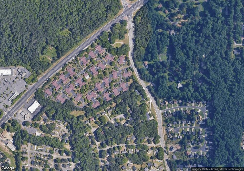
Map
Nearby Homes
- 1927 Kolb Farm Cir SW Unit 90
- 1906 Kolb Farm Cir SW Unit 51
- 1472 Chapel Hill Ln SW
- 1830 Kolb Farm Cir SW Unit 7
- 1951 Bergerac Ct SW
- 1784 Hammond Woods Cir SW
- 1799 Hammond Woods Cir SW
- 1718 Rifle Ridge SW
- 2121 Cumberland Creek Trail SW
- 1589 Hammond Woods Cir SW
- 1704 Sterling Trail SW
- 2001 MacLand Square Dr Unit 11
- 1533 Fallen Leaf Dr SW
- 2002 MacLand Square Dr Unit 1
- 1500 Larson Way SW Unit 2
- 1759 Kimberly Dr SW
- 1467 Glynn Oaks Cir SW
- 1876 Kolb Farm Cir SW Unit 8
- 1878 Kolb Farm Cir SW Unit 5
- 1874 Kolb Farm Cir SW
- 1880 Kolb Farm Cir SW
- 1870 Kolb Farm Cir SW
- 1872 Kolb Farm Cir SW
- 1872 Kolb Farm Cir SW Unit 1872
- 1868 Kolb Farm Cir SW Unit 1868
- 1866 Kolb Farm Cir SW
- 1866 Kolb Farm Cir SW Unit 11
- 1884 Kolb Farm Cir SW
- 1873 Kolb Farm Cir SW Unit 62
- 1879 Kolb Farm Cir SW
- 1886 Kolb Farm Cir SW Unit 1886
- 1886 Kolb Farm Cir SW Unit 1
- 1886 Kolb Farm Cir SW
- 1869 Kolb Farm Cir SW
- 1882 Kolb Farm Cir SW
- 1875 Kolb Farm Cir SW Unit 61
- 1888 Kolb Farm Cir SW