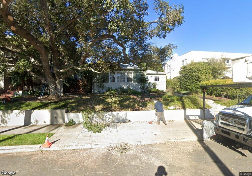
1876 Sheridan Ave San Diego, CA 92103
Mission Hills NeighborhoodEstimated Value: $1,364,500 - $2,012,000
3
Beds
2
Baths
1,409
Sq Ft
$1,263/Sq Ft
Est. Value
About This Home
This home is located at 1876 Sheridan Ave, San Diego, CA 92103 and is currently estimated at $1,779,375, approximately $1,262 per square foot. 1876 Sheridan Ave is a home located in San Diego County with nearby schools including Grant K-8, Richard Henry Dana Middle School, and Roosevelt International Middle School.
Ownership History
Date
Name
Owned For
Owner Type
Purchase Details
Closed on
Jan 21, 2009
Sold by
Bywater Martha A
Bought by
Smith Jennifer E and Sandin Stuart A
Current Estimated Value
Home Financials for this Owner
Home Financials are based on the most recent Mortgage that was taken out on this home.
Original Mortgage
$670,500
Outstanding Balance
$419,950
Interest Rate
5.01%
Mortgage Type
Purchase Money Mortgage
Estimated Equity
$1,359,425
Purchase Details
Closed on
Jun 15, 2005
Sold by
Anderson Graul Martha
Bought by
Anderson Graul Martha
Create a Home Valuation Report for This Property
The Home Valuation Report is an in-depth analysis detailing your home's value as well as a comparison with similar homes in the area
Home Values in the Area
Average Home Value in this Area
Purchase History
| Date | Buyer | Sale Price | Title Company |
|---|---|---|---|
| Smith Jennifer E | $745,000 | California Title Company | |
| Anderson Graul Martha | -- | -- |
Source: Public Records
Mortgage History
| Date | Status | Borrower | Loan Amount |
|---|---|---|---|
| Open | Smith Jennifer E | $670,500 |
Source: Public Records
Tax History Compared to Growth
Tax History
| Year | Tax Paid | Tax Assessment Tax Assessment Total Assessment is a certain percentage of the fair market value that is determined by local assessors to be the total taxable value of land and additions on the property. | Land | Improvement |
|---|---|---|---|---|
| 2025 | $4,079 | $356,305 | $213,783 | $142,522 |
| 2024 | $4,079 | $336,287 | $201,772 | $134,515 |
| 2023 | $4,062 | $323,640 | $194,184 | $129,456 |
| 2022 | $3,884 | $296,430 | $177,858 | $118,572 |
| 2021 | $3,599 | $296,430 | $177,858 | $118,572 |
| 2020 | $3,478 | $287,121 | $172,272 | $114,849 |
| 2019 | $3,510 | $289,262 | $173,557 | $115,705 |
| 2018 | $3,268 | $282,487 | $169,492 | $112,995 |
| 2017 | $2,771 | $241,225 | $144,735 | $96,490 |
| 2016 | $2,745 | $238,218 | $178,663 | $59,555 |
| 2015 | $2,758 | $239,304 | $184,264 | $55,040 |
| 2014 | $2,840 | $245,342 | $188,913 | $56,429 |
Source: Public Records
Map
Nearby Homes
- 1864 Sunset Blvd
- 1753 W Lewis St
- 1860 W Montecito Way
- 4232 Arden Way
- 1728 W Lewis St
- 2120 Pine St
- 3770 Keating St
- 2147 Pine St
- 1329 Fort Stockton Dr
- Lot 19 Randolph St
- 1695 Neale St
- 1694 Torrance St
- 3625 Keating St Unit 4
- 3903 California St Unit 3
- 4472 Hortensia St
- 2045 W California St
- 1806 Mckee St Unit A2
- 1806 Mckee St Unit A9
- 3972 Jackdaw St
- 3972 Jackdaw St Unit 109
- 1870 Sheridan Ave
- 1860 Sheridan Ave
- 1890 Sheridan Ave
- 1875 Sunset Blvd
- 1871 Sunset Blvd
- 1883 Sunset Blvd
- 1852 Sheridan Ave
- 4107 Saint James Place
- 1863 Sunset Blvd
- 1875 Sheridan Ave
- 1889 Sunset Blvd
- 1885 Sheridan Ave
- 1867 Sheridan Ave
- 1889 Sheridan Ave
- 1844 Sheridan Ave
- 1895 Sunset Blvd
- 1899 Sheridan Ave
- 1845 Sheridan Ave
- 1851 Sunset Blvd
- 1859 Sheridan Ave