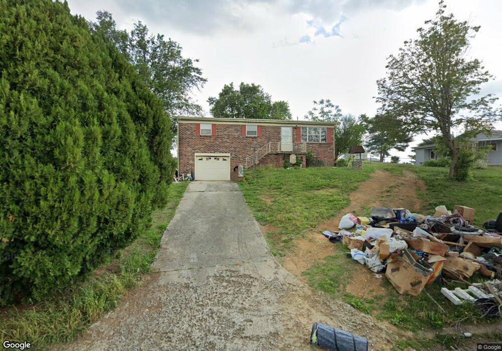
1877 Pembrook Dr Morristown, TN 37813
Estimated Value: $154,231 - $286,000
--
Bed
1
Bath
1,075
Sq Ft
$211/Sq Ft
Est. Value
About This Home
This home is located at 1877 Pembrook Dr, Morristown, TN 37813 and is currently estimated at $226,558, approximately $210 per square foot. 1877 Pembrook Dr is a home located in Hamblen County with nearby schools including Union Heights Elementary School, East Ridge Middle School, and Morristown East High School.
Ownership History
Date
Name
Owned For
Owner Type
Purchase Details
Closed on
Jun 20, 2023
Sold by
Godbey Sharlene S
Bought by
Adkins Marcus
Current Estimated Value
Purchase Details
Closed on
Oct 2, 1991
Bought by
Godby Richard L and Godby Sharlene S
Purchase Details
Closed on
Jul 15, 1991
Bought by
Secretary Of H U D John Duncan Fed Bldg
Purchase Details
Closed on
Jun 28, 1991
Bought by
Tennessee Housing Dev Agency
Purchase Details
Closed on
Feb 3, 1989
Purchase Details
Closed on
Jan 31, 1989
Bought by
Brannan Lydia D
Purchase Details
Closed on
Dec 4, 1978
Bought by
Brannan Clarence and Brannan Lydia D
Create a Home Valuation Report for This Property
The Home Valuation Report is an in-depth analysis detailing your home's value as well as a comparison with similar homes in the area
Home Values in the Area
Average Home Value in this Area
Purchase History
| Date | Buyer | Sale Price | Title Company |
|---|---|---|---|
| Adkins Marcus | -- | None Listed On Document | |
| Adkins Marcus | -- | None Listed On Document | |
| Godby Richard L | $42,500 | -- | |
| Secretary Of H U D John Duncan Fed Bldg | $44,500 | -- | |
| Tennessee Housing Dev Agency | $44,500 | -- | |
| -- | $39,900 | -- | |
| Shockley Barnett Junior | -- | -- | |
| Brannan Lydia D | -- | -- | |
| Brannan Clarence | -- | -- |
Source: Public Records
Tax History Compared to Growth
Tax History
| Year | Tax Paid | Tax Assessment Tax Assessment Total Assessment is a certain percentage of the fair market value that is determined by local assessors to be the total taxable value of land and additions on the property. | Land | Improvement |
|---|---|---|---|---|
| 2024 | $455 | $23,075 | $3,725 | $19,350 |
| 2023 | $455 | $23,075 | $0 | $0 |
| 2022 | $455 | $23,075 | $3,725 | $19,350 |
| 2021 | $455 | $23,075 | $3,725 | $19,350 |
| 2020 | $448 | $23,075 | $3,725 | $19,350 |
| 2019 | $448 | $21,050 | $3,125 | $17,925 |
| 2018 | $448 | $21,050 | $3,125 | $17,925 |
| 2017 | $448 | $21,050 | $3,125 | $17,925 |
| 2016 | $419 | $21,050 | $3,125 | $17,925 |
| 2015 | $389 | $21,050 | $3,125 | $17,925 |
| 2014 | -- | $21,050 | $3,125 | $17,925 |
| 2013 | -- | $22,450 | $0 | $0 |
Source: Public Records
Map
Nearby Homes
- 1885 Pembrook Dr
- 1857 Pembrook Dr
- 1884 Carroll Rd
- 1862 Carroll Rd
- 1896 Carroll Rd
- 1845 Pembrook Dr
- 1878 Pembrook Dr
- 3475 Brighton Ln
- 1860 Pembrook Dr
- 1894 Pembrook Dr
- 1850 Carroll Rd
- 1912 Carroll Rd
- 1840 Pembrook Dr
- Lot 6 Brighton Ln
- 1831 Pembrook Dr
- 1834 Carroll Rd
- 1928 Carroll Rd
- 1830 Pembrook Dr
- 3468 Brighton Ln
- 1821 Pembrook Dr