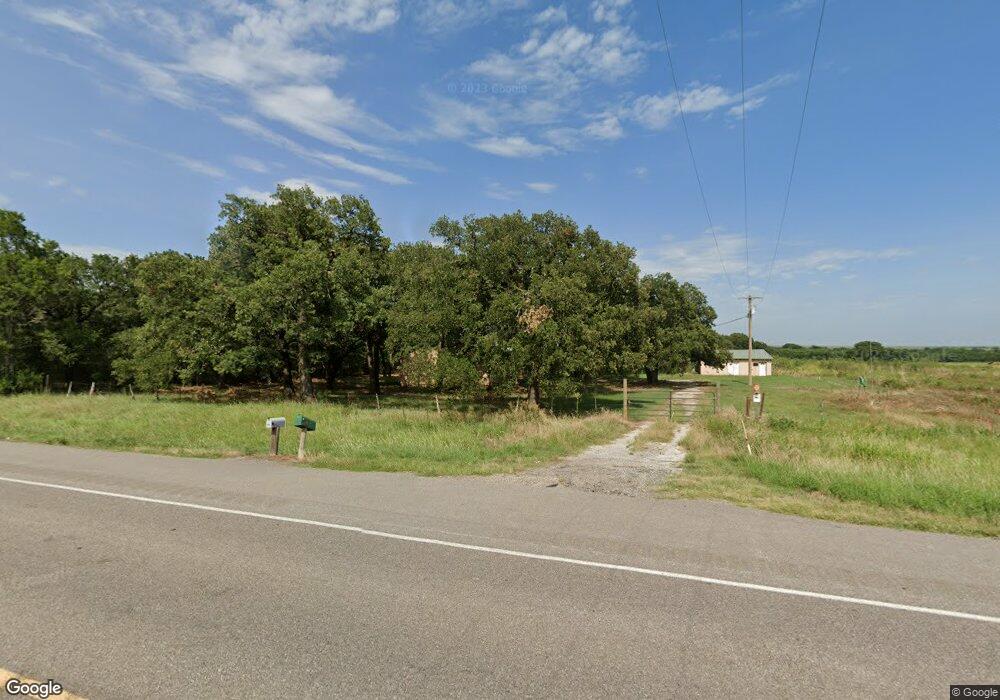
187748 Us Highway 81 Comanche, OK 73529
Estimated Value: $99,000 - $199,000
3
Beds
2
Baths
1,560
Sq Ft
$85/Sq Ft
Est. Value
About This Home
This home is located at 187748 Us Highway 81, Comanche, OK 73529 and is currently estimated at $132,571, approximately $84 per square foot. 187748 Us Highway 81 is a home located in Stephens County with nearby schools including Grandview Public School.
Ownership History
Date
Name
Owned For
Owner Type
Purchase Details
Closed on
Nov 17, 2023
Sold by
Cao Truong Tien
Bought by
Martin Debbie
Current Estimated Value
Purchase Details
Closed on
Jun 14, 2021
Sold by
Freedom Mortgage Corporation
Bought by
Cao Truong Tien
Purchase Details
Closed on
Apr 1, 2016
Sold by
Tinney David L and Tinney Teresa
Bought by
Mann Richard and Mann Kyla D
Home Financials for this Owner
Home Financials are based on the most recent Mortgage that was taken out on this home.
Original Mortgage
$92,592
Interest Rate
3.65%
Mortgage Type
FHA
Purchase Details
Closed on
Aug 23, 2004
Sold by
Thompson Steela
Bought by
Tinney David L and Tinney Teresa
Create a Home Valuation Report for This Property
The Home Valuation Report is an in-depth analysis detailing your home's value as well as a comparison with similar homes in the area
Purchase History
| Date | Buyer | Sale Price | Title Company |
|---|---|---|---|
| Martin Debbie | $80,000 | Stephens County Abstract | |
| Cao Truong Tien | $60,000 | Oklahoma Land Title Svcs Llc | |
| Mann Richard | $103,000 | None Available | |
| Tinney David L | $55,000 | -- |
Source: Public Records
Mortgage History
| Date | Status | Borrower | Loan Amount |
|---|---|---|---|
| Previous Owner | Mann Richard | $92,592 |
Source: Public Records
Tax History
| Year | Tax Paid | Tax Assessment Tax Assessment Total Assessment is a certain percentage of the fair market value that is determined by local assessors to be the total taxable value of land and additions on the property. | Land | Improvement |
|---|---|---|---|---|
| 2025 | $719 | $8,230 | $1,057 | $7,173 |
| 2024 | $801 | $8,843 | $1,057 | $7,786 |
| 2023 | $722 | $7,967 | $1,057 | $6,910 |
| 2022 | $718 | $7,938 | $1,057 | $6,881 |
| 2021 | $1,003 | $10,868 | $1,057 | $9,811 |
| 2020 | $856 | $10,343 | $1,057 | $9,286 |
| 2019 | $968 | $11,064 | $1,057 | $10,007 |
| 2018 | $965 | $11,085 | $1,057 | $10,028 |
| 2017 | $874 | $11,440 | $1,057 | $10,383 |
| 2016 | $681 | $8,107 | $1,047 | $7,060 |
| 2015 | $514 | $7,721 | $1,045 | $6,676 |
| 2014 | $514 | $7,496 | $1,045 | $6,451 |
Source: Public Records
Map
Nearby Homes
- 182248 N 2790 Rd
- ? N 2800 Rd
- 117 Seminole Dr
- TBD E 1840 Rd
- 282752 E 1800 Rd
- 281477 Doctor Pepper Rd
- 303 N 8th St
- 703 Wilson Ave
- 311 S 6th St
- 620 Clark Ave
- 508 Wilson Ave
- 0 Oklahoma 53
- Rt Rt 2
- 181259 N 2590 Rd
- 282096 Andrews Dr
- 180163 Larue Dr
- 179712 Ledford Ln
- 280350 E 1780 Rd
- 181307 N 2770 Rd
- 178480 N 2770 Rd
- 187517 Us Highway 81
- 187745 Us Highway 81
- 187082 Us Highway 81
- 187082 Us Highway 81
- 187745 Us Highway 81
- 183023 N 2790 Rd
- 279033 State Highway 53
- 279101 State Highway 53
- 279545 State Highway 53
- 279662 State Highway 53
- 279226 State Highway 53
- 272309 E 1840 Rd
- 272291 E 1840 Rd
- 272301 E 1840 Rd
- 183491 183491 N 2790
- 80 Rr 3
- 79A Rr 3
- 75 Rr 3
- 184865 Us Highway 81
- 274571 State Highway 53
Your Personal Tour Guide
Ask me questions while you tour the home.