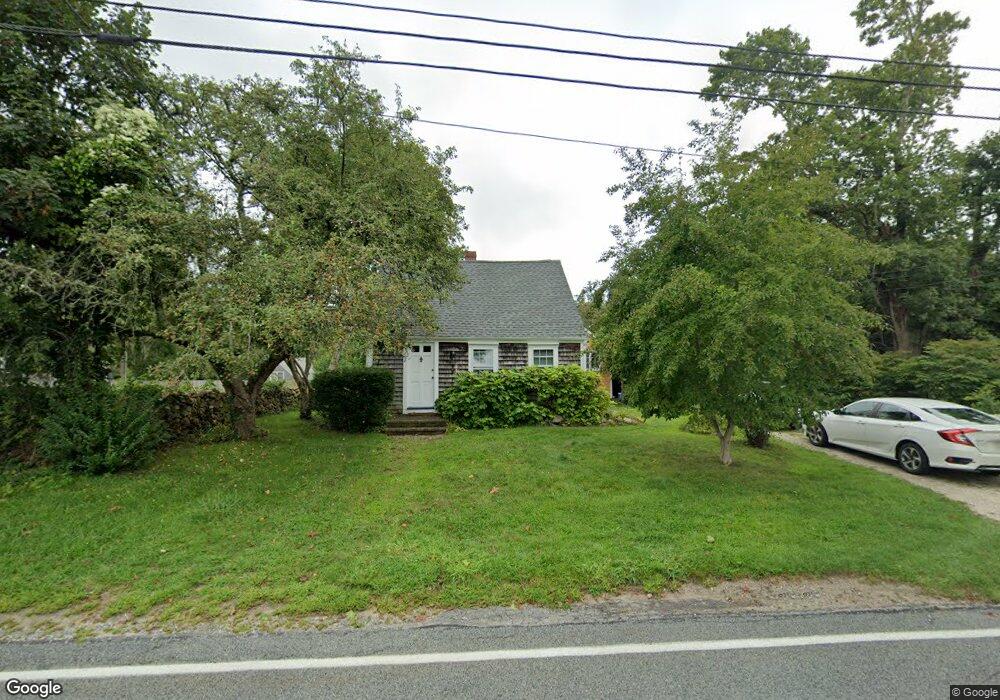
1878 Main Rd Westport, MA 02790
Westport Point NeighborhoodEstimated Value: $790,000 - $1,094,719
3
Beds
4
Baths
2,499
Sq Ft
$369/Sq Ft
Est. Value
About This Home
This home is located at 1878 Main Rd, Westport, MA 02790 and is currently estimated at $922,430, approximately $369 per square foot. 1878 Main Rd is a home located in Bristol County with nearby schools including Alice A. Macomber Primary School, Westport Elementary School, and Westport Middle-High School.
Ownership History
Date
Name
Owned For
Owner Type
Purchase Details
Closed on
Feb 3, 2011
Sold by
Pinsonneault Irene L
Bought by
May Maurice E
Current Estimated Value
Home Financials for this Owner
Home Financials are based on the most recent Mortgage that was taken out on this home.
Original Mortgage
$238,500
Outstanding Balance
$156,416
Interest Rate
4%
Mortgage Type
Purchase Money Mortgage
Estimated Equity
$766,014
Purchase Details
Closed on
Dec 9, 1994
Sold by
Robb Arthur N and Snow Marjorie R
Bought by
Pinsonneault Irene L
Create a Home Valuation Report for This Property
The Home Valuation Report is an in-depth analysis detailing your home's value as well as a comparison with similar homes in the area
Home Values in the Area
Average Home Value in this Area
Purchase History
| Date | Buyer | Sale Price | Title Company |
|---|---|---|---|
| May Maurice E | $265,000 | -- | |
| May Maurice E | $265,000 | -- | |
| Pinsonneault Irene L | $205,000 | -- | |
| Pinsonneault Irene L | $205,000 | -- |
Source: Public Records
Mortgage History
| Date | Status | Borrower | Loan Amount |
|---|---|---|---|
| Open | Pinsonneault Irene L | $238,500 | |
| Closed | Pinsonneault Irene L | $238,500 |
Source: Public Records
Tax History Compared to Growth
Tax History
| Year | Tax Paid | Tax Assessment Tax Assessment Total Assessment is a certain percentage of the fair market value that is determined by local assessors to be the total taxable value of land and additions on the property. | Land | Improvement |
|---|---|---|---|---|
| 2025 | $6,154 | $826,100 | $591,400 | $234,700 |
| 2024 | $5,430 | $702,400 | $516,100 | $186,300 |
| 2023 | $5,114 | $626,700 | $461,200 | $165,500 |
| 2022 | $4,834 | $570,100 | $412,600 | $157,500 |
| 2021 | $2,190 | $516,100 | $358,600 | $157,500 |
| 2020 | $2,169 | $501,700 | $344,200 | $157,500 |
| 2019 | $4,037 | $488,200 | $328,300 | $159,900 |
| 2018 | $1,974 | $494,400 | $351,300 | $143,100 |
| 2017 | $1,921 | $494,400 | $351,300 | $143,100 |
| 2016 | $3,911 | $494,400 | $351,300 | $143,100 |
| 2015 | $3,972 | $500,900 | $362,600 | $138,300 |
Source: Public Records
Map
Nearby Homes
- 1881 Main Rd
- 1749 Main Rd
- 1702J Drift Rd
- 1702 Drift Rd
- 1580 Main Rd
- 1346 Main Rd Unit B
- 19 Seabury Ln
- 99 Sylvia Ln
- 189 Brayton Point Rd
- 238-242 E Beach Rd
- 304 Brayton Point Rd
- 255 John Dyer Rd
- 225 Hixbridge Rd
- Lot 2 Horseneck Rd
- 920 Drift Rd
- 245 John Dyer Rd
- 17 Quail Trail
- 101 Adamsville Rd
- 837 Main Rd
- Lot 2E Horseneck Rd
- 1886 Main Rd
- 1874 Main Rd
- 1919 Drift Rd
- 1923 Drift Rd
- 1919 Drift Rd
- 1927 Drift Rd Unit 1
- 1927 Drift Rd
- 1875 Main Rd
- 1892 Main Rd
- 1913 Drift Rd
- 0 Cherry & Webb Ln Unit 70852953
- 0 Cherry & Webb Ln Unit 859061
- 1871 Main Rd
- 1871 Main Rd
- 1898 Main Rd
- 1868 Main Rd
- 1885B Main Rd
- 1907 Drift Rd
- 1900 Main Rd
- 3 Windward Way