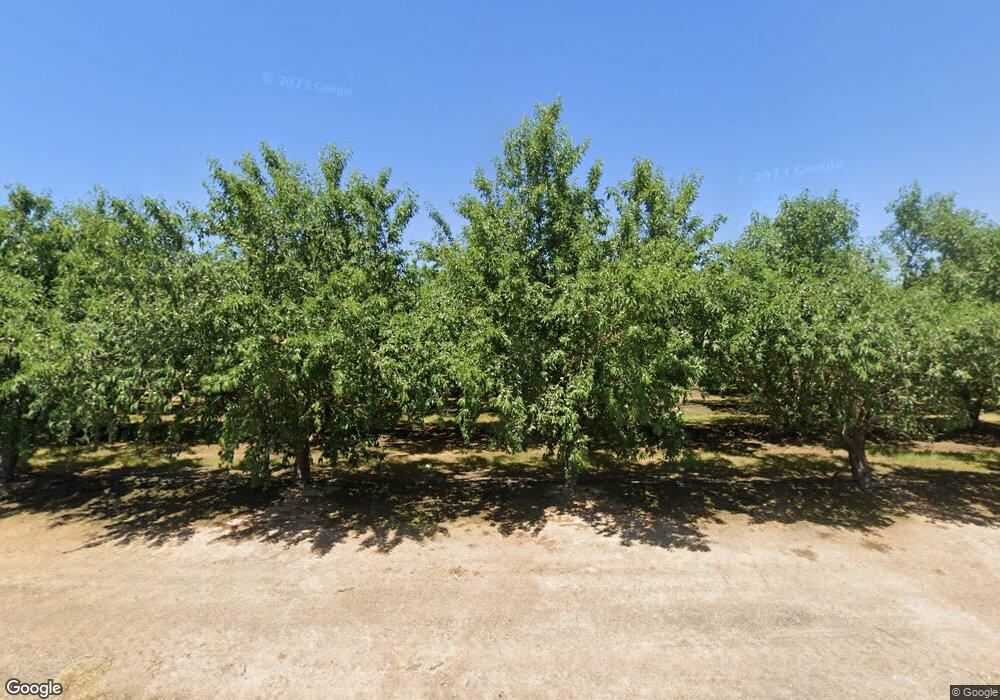
18785 Sutliff Rd Escalon, CA 95320
Estimated Value: $541,000 - $977,066
--
Bed
--
Bath
--
Sq Ft
39.1
Acres
About This Home
This home is located at 18785 Sutliff Rd, Escalon, CA 95320 and is currently estimated at $801,022. 18785 Sutliff Rd is a home located in San Joaquin County with nearby schools including Dent Elementary School, El Portal Middle School, and Escalon High School.
Ownership History
Date
Name
Owned For
Owner Type
Purchase Details
Closed on
Feb 1, 2016
Sold by
Vanvliet Carl and Vliet Lori Van
Bought by
Carl & Lori Van Vliet Trust
Current Estimated Value
Purchase Details
Closed on
Mar 20, 2013
Sold by
Vanvliet Betty T
Bought by
Vanvliet Carl and Van Vliet Lori
Home Financials for this Owner
Home Financials are based on the most recent Mortgage that was taken out on this home.
Original Mortgage
$300,000
Interest Rate
3.88%
Mortgage Type
Seller Take Back
Create a Home Valuation Report for This Property
The Home Valuation Report is an in-depth analysis detailing your home's value as well as a comparison with similar homes in the area
Home Values in the Area
Average Home Value in this Area
Purchase History
| Date | Buyer | Sale Price | Title Company |
|---|---|---|---|
| Carl & Lori Van Vliet Trust | -- | None Available | |
| Vanvliet Carl | $350,000 | None Available |
Source: Public Records
Mortgage History
| Date | Status | Borrower | Loan Amount |
|---|---|---|---|
| Previous Owner | Vanvliet Carl | $300,000 |
Source: Public Records
Tax History Compared to Growth
Tax History
| Year | Tax Paid | Tax Assessment Tax Assessment Total Assessment is a certain percentage of the fair market value that is determined by local assessors to be the total taxable value of land and additions on the property. | Land | Improvement |
|---|---|---|---|---|
| 2025 | $6,173 | $346,545 | $126,282 | $220,263 |
| 2024 | $5,744 | $339,751 | $123,806 | $215,945 |
| 2023 | $5,131 | $333,091 | $121,379 | $211,712 |
| 2022 | $4,439 | $326,562 | $119,000 | $207,562 |
| 2021 | $4,478 | $320,161 | $116,667 | $203,494 |
| 2020 | $4,445 | $316,879 | $115,471 | $201,408 |
| 2019 | $4,415 | $312,794 | $113,207 | $199,587 |
| 2018 | $3,243 | $200,262 | $110,988 | $89,274 |
| 2017 | $3,183 | $196,337 | $108,813 | $87,524 |
| 2016 | $3,151 | $192,487 | $106,679 | $85,808 |
| 2015 | $2,120 | $189,596 | $105,077 | $84,519 |
| 2014 | $1,492 | $131,049 | $92,303 | $38,746 |
Source: Public Records
Map
Nearby Homes
- 30282 Lemon Ave
- 10449 Pioneer Ave
- 10113 Pioneer Ave
- 27958 Vine Ave
- 11776 Victory Ave
- 28548 Orange Ave
- 16682 Steinegul Rd
- 5412 Wilkins Ave
- 5030 River Rd
- 2512 Yosemite Ave
- 4616 Freelove Rd
- 5125 River Rd
- 29533 E Chapman Way
- 2418 Jessica Cir
- 11430 Walnut Ave
- 2505 Jackson Ave Unit 207
- 2505 Jackson Ave Unit 179
- 2505 Jackson Ave Unit 132
- 2505 Jackson Ave Unit 107
- 2505 Jackson Ave Unit 194
- 29984 State Highway 120
- 30327 State Highway 120
- 19162 Sutliff Rd
- 18296 Henry Rd
- 30098 Vine Ave
- 29924 State Highway 120
- 29912 State Highway 120
- 19224 Sutliff Rd
- 18350 Henry Rd
- 0 Lon Dale Rd
- 30962 State Highway 120
- 29832 State Highway 120
- 29980 Vine Ave
- 19376 Sutliff Rd
- 17864 Enterprise Rd
- 29582 Vine Ave
- 19472 Sutliff Rd
- 30941 State Highway 120
- 19441 Sutliff Rd
- 30940 State Highway 120
