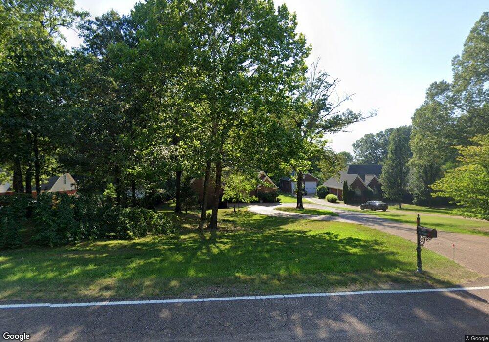
1879 Jaybird Rd Hernando, MS 38632
Estimated Value: $364,000 - $551,000
3
Beds
3
Baths
3,082
Sq Ft
$142/Sq Ft
Est. Value
About This Home
This home is located at 1879 Jaybird Rd, Hernando, MS 38632 and is currently estimated at $438,281, approximately $142 per square foot. 1879 Jaybird Rd is a home located in DeSoto County with nearby schools including Oak Grove Central Elementary School, Hernando Hills Elementary, and Hernando Elementary School.
Ownership History
Date
Name
Owned For
Owner Type
Purchase Details
Closed on
Jul 31, 2008
Sold by
Brown Joseph Alvin and Brown Ronda L
Bought by
Simmons Robert R and Simmons Kathaleen S
Current Estimated Value
Home Financials for this Owner
Home Financials are based on the most recent Mortgage that was taken out on this home.
Original Mortgage
$165,000
Outstanding Balance
$107,460
Interest Rate
6.43%
Mortgage Type
Purchase Money Mortgage
Estimated Equity
$330,821
Create a Home Valuation Report for This Property
The Home Valuation Report is an in-depth analysis detailing your home's value as well as a comparison with similar homes in the area
Home Values in the Area
Average Home Value in this Area
Purchase History
| Date | Buyer | Sale Price | Title Company |
|---|---|---|---|
| Simmons Robert R | -- | Select Title & Escrow Llc |
Source: Public Records
Mortgage History
| Date | Status | Borrower | Loan Amount |
|---|---|---|---|
| Open | Simmons Robert R | $165,000 |
Source: Public Records
Tax History
| Year | Tax Paid | Tax Assessment Tax Assessment Total Assessment is a certain percentage of the fair market value that is determined by local assessors to be the total taxable value of land and additions on the property. | Land | Improvement |
|---|---|---|---|---|
| 2025 | $10 | $17,829 | $3,500 | $14,329 |
| 2024 | $10 | $17,829 | $3,500 | $14,329 |
| 2023 | $10 | $17,829 | $0 | $0 |
| 2022 | $10 | $17,829 | $3,500 | $14,329 |
| 2021 | $1,443 | $17,829 | $3,500 | $14,329 |
| 2020 | $1,443 | $17,829 | $3,500 | $14,329 |
| 2019 | $1,443 | $17,829 | $3,500 | $14,329 |
| 2017 | $1,400 | $31,432 | $17,466 | $13,966 |
| 2016 | $1,342 | $17,466 | $3,500 | $13,966 |
| 2015 | $2,334 | $31,432 | $17,466 | $13,966 |
| 2014 | $1,310 | $17,466 | $0 | $0 |
| 2013 | $1,459 | $17,466 | $0 | $0 |
Source: Public Records
Map
Nearby Homes
- 1916 Trapper Dr
- 1742 Keenlan Dr W
- 1377 Notting Hill Loop
- 1394 Stone Gate Dr
- 879 Red Cedar Loop
- 2850 Jaybird Rd
- 830 Red Cedar Loop
- 792 Red Cedar Loop
- 2174 Sawyer Cir
- 2133 Sawyer Cir
- 2188 Sawyer Cir
- 814 Red Cedar Loop
- 837 Red Cedar Loop
- 870 Red Cedar Loop
- 2890 Jaybird Rd
- 1335 Creekside Blvd
- 769 Red Cedar Loop
- 757 Red Cedar Loop
- 791 Hickory Ridge Dr
- 1705 Cedar Lake Cove
- 1857 Jaybird Rd
- 1901 Jaybird Rd
- 1923 Jaybird Rd
- 1868 Ready Dr
- 1892 Ready Dr
- 1848 Ready Dr
- 1846 Ready Dr
- 1975 Trapper Dr
- 1918 Ready Dr
- 1942 Ready Dr
- 1917 Trapper Dr
- 1916 Banks St
- 1967 Jaybird Rd
- 1967 Jaybird Rd Unit L2
- 1879 Ready Dr
- 1853 Ready Dr
- 1831 Ready Dr
- 1901 Ready Dr
- 1972 Trapper Dr
- 1954 Ready Dr
Your Personal Tour Guide
Ask me questions while you tour the home.