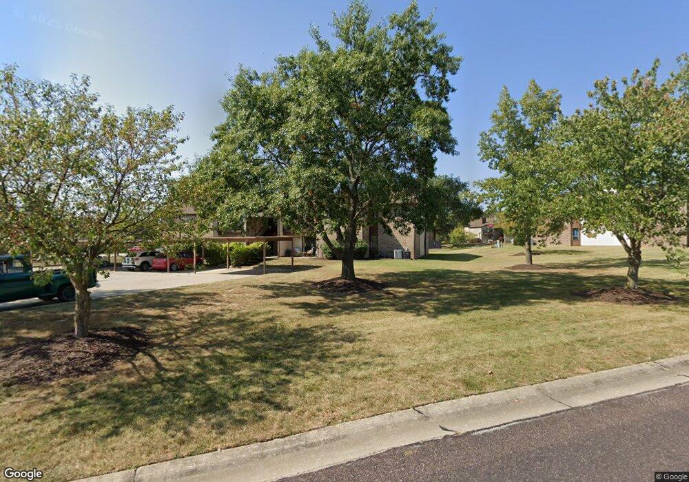
1879 Waterfront Dr N Unit B Columbia, MO 65202
Estimated Value: $142,000 - $152,000
2
Beds
2
Baths
1,012
Sq Ft
$146/Sq Ft
Est. Value
About This Home
This home is located at 1879 Waterfront Dr N Unit B, Columbia, MO 65202 and is currently estimated at $148,173, approximately $146 per square foot. 1879 Waterfront Dr N Unit B is a home located in Boone County with nearby schools including Eliot Battle Elementary School, John B. Lange Middle School, and Muriel W. Battle High School.
Ownership History
Date
Name
Owned For
Owner Type
Purchase Details
Closed on
Oct 11, 2011
Sold by
Bank Of America National Association
Bought by
Walsh Anne
Current Estimated Value
Home Financials for this Owner
Home Financials are based on the most recent Mortgage that was taken out on this home.
Original Mortgage
$67,160
Outstanding Balance
$45,960
Interest Rate
4.17%
Mortgage Type
New Conventional
Estimated Equity
$102,213
Purchase Details
Closed on
Apr 19, 2011
Sold by
Durk Angelique M and Durk Mark A
Bought by
Bank Of America National Association
Purchase Details
Closed on
Nov 2, 2005
Sold by
Galloway Donna Diane
Bought by
Durk Mark A and Durk Angelique M
Home Financials for this Owner
Home Financials are based on the most recent Mortgage that was taken out on this home.
Original Mortgage
$80,200
Interest Rate
8.79%
Mortgage Type
New Conventional
Create a Home Valuation Report for This Property
The Home Valuation Report is an in-depth analysis detailing your home's value as well as a comparison with similar homes in the area
Home Values in the Area
Average Home Value in this Area
Purchase History
| Date | Buyer | Sale Price | Title Company |
|---|---|---|---|
| Walsh Anne | -- | Mokan Title Services Llc | |
| Bank Of America National Association | $71,000 | None Available | |
| Durk Mark A | -- | Boone Central Title Company |
Source: Public Records
Mortgage History
| Date | Status | Borrower | Loan Amount |
|---|---|---|---|
| Open | Walsh Anne | $67,160 | |
| Previous Owner | Durk Mark A | $80,200 |
Source: Public Records
Tax History Compared to Growth
Tax History
| Year | Tax Paid | Tax Assessment Tax Assessment Total Assessment is a certain percentage of the fair market value that is determined by local assessors to be the total taxable value of land and additions on the property. | Land | Improvement |
|---|---|---|---|---|
| 2025 | $997 | $14,174 | $380 | $13,794 |
| 2024 | $932 | $12,882 | $380 | $12,502 |
| 2023 | $924 | $12,882 | $380 | $12,502 |
| 2022 | $888 | $12,388 | $380 | $12,008 |
| 2021 | $889 | $12,388 | $380 | $12,008 |
| 2020 | $906 | $11,914 | $380 | $11,534 |
| 2019 | $906 | $11,914 | $380 | $11,534 |
| 2018 | $877 | $0 | $0 | $0 |
| 2017 | $865 | $11,457 | $380 | $11,077 |
| 2016 | $865 | $11,457 | $380 | $11,077 |
| 2015 | $799 | $11,457 | $380 | $11,077 |
| 2014 | -- | $11,457 | $380 | $11,077 |
Source: Public Records
Map
Nearby Homes
- 1879 Waterfront Dr N Unit F
- 1887 Waterfront Dr N Unit F
- 5301 Gasconade Dr
- 2009 Waterfront Dr N Unit A1
- 1804 Kassem Dr
- 5724 Black Gum Ct
- 5914 Waterfront Dr N
- 5503 Kelsey Dr
- 1537 N Lake of the Woods Rd
- 6077 E Locust Grove Dr
- 2605 Shamrock Dr
- 4801 Orchard Ln
- 4802 Lillian Dr
- 5614 Sandrock Dr
- 2460 N Lake of the Woods Rd
- 1312 N Lake of the Wood
- 1312 N Lake of the Woods Rd
- 6003 E St Charles Rd
- 5901 Huntington Ct
- 5916 Huntington Ct
- 1879 Waterfront Dr N Unit G
- 1879 Waterfront Dr N Unit F
- 1879 Waterfront Dr N Unit 10E
- 1879 Waterfront Dr N Unit C
- 1879 Waterfront Dr N Unit A
- 1879 Waterfront Dr N Unit 10-B
- 1879 Waterfront Dr N Unit D
- 1879 Waterfront Dr N Unit H
- 1879 Waterfront Dr N Unit F
- 1879 Waterfront Dr N
- 1879 Waterfront Dr N Unit 1879H
- 1879 Waterfront Dr N Unit 1879D
- 1879 N Waterfront F Dr
- 1887 D N Waterfront Dr
- 1877 Waterfront Dr N Unit H
- 1877 Waterfront Dr N Unit G
- 1877 Waterfront Dr N Unit F
- 1877 Waterfront Dr N Unit E
- 1877 Waterfront Dr N Unit D
- 1877 Waterfront Dr N Unit C