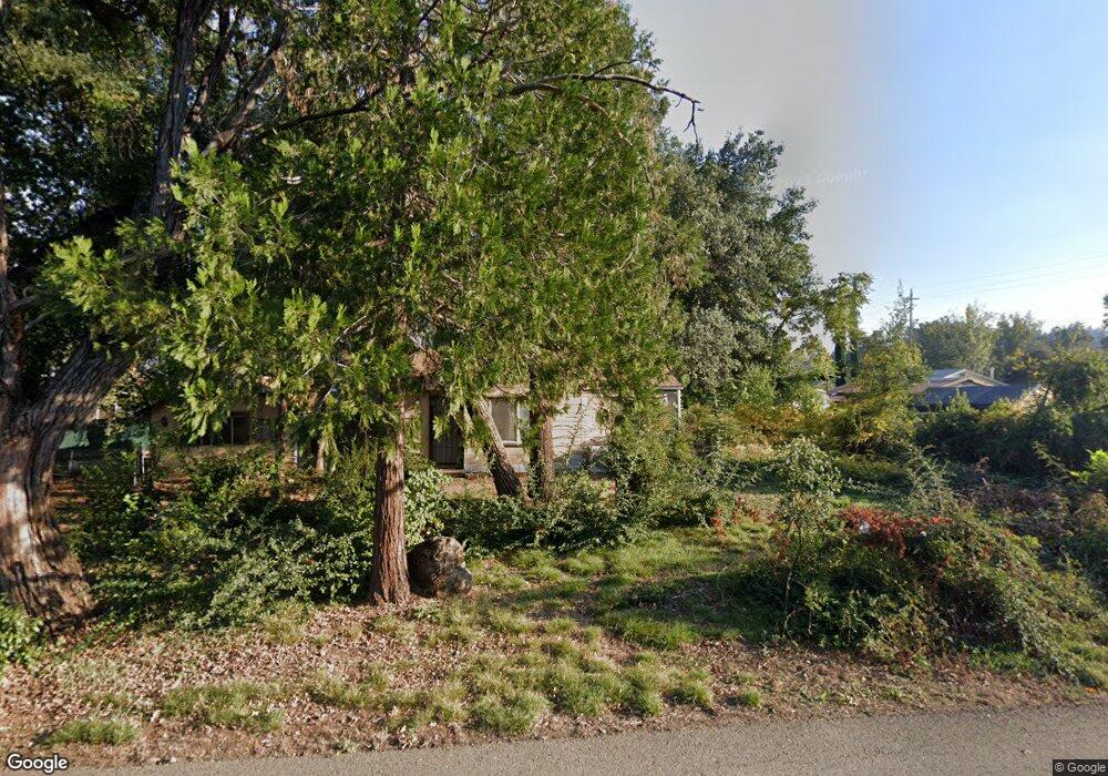
18799 Thomas Rd Anderson, CA 96007
Estimated Value: $162,000 - $211,000
2
Beds
1
Bath
876
Sq Ft
$208/Sq Ft
Est. Value
About This Home
This home is located at 18799 Thomas Rd, Anderson, CA 96007 and is currently estimated at $182,147, approximately $207 per square foot. 18799 Thomas Rd is a home with nearby schools including Meadow Lane Elementary School, Anderson Heights Elementary School, and Anderson Middle School.
Ownership History
Date
Name
Owned For
Owner Type
Purchase Details
Closed on
Jan 13, 2023
Sold by
Struble Family Trust
Bought by
All American Truck And Auto Llc
Current Estimated Value
Home Financials for this Owner
Home Financials are based on the most recent Mortgage that was taken out on this home.
Original Mortgage
$129,500
Outstanding Balance
$125,294
Interest Rate
6.33%
Mortgage Type
New Conventional
Estimated Equity
$56,853
Purchase Details
Closed on
Mar 9, 2020
Sold by
File Randy R and File Lorrene M
Bought by
File Randy R and File Lorrene M
Create a Home Valuation Report for This Property
The Home Valuation Report is an in-depth analysis detailing your home's value as well as a comparison with similar homes in the area
Purchase History
| Date | Buyer | Sale Price | Title Company |
|---|---|---|---|
| All American Truck And Auto Llc | $130,000 | Placer Title | |
| File Randy R | -- | Placer Title Company |
Source: Public Records
Mortgage History
| Date | Status | Borrower | Loan Amount |
|---|---|---|---|
| Open | All American Truck And Auto Llc | $129,500 |
Source: Public Records
Tax History
| Year | Tax Paid | Tax Assessment Tax Assessment Total Assessment is a certain percentage of the fair market value that is determined by local assessors to be the total taxable value of land and additions on the property. | Land | Improvement |
|---|---|---|---|---|
| 2025 | $1,473 | $135,252 | $31,212 | $104,040 |
| 2024 | $1,212 | $132,600 | $30,600 | $102,000 |
| 2023 | $1,212 | $108,425 | $29,447 | $78,978 |
| 2022 | $1,174 | $106,300 | $28,870 | $77,430 |
| 2021 | $939 | $83,433 | $31,609 | $51,824 |
| 2020 | $1,066 | $93,332 | $42,039 | $51,293 |
| 2019 | $1,019 | $91,503 | $41,215 | $50,288 |
| 2018 | $1,004 | $89,709 | $40,407 | $49,302 |
| 2017 | $1,007 | $87,951 | $39,615 | $48,336 |
| 2016 | $934 | $86,228 | $38,839 | $47,389 |
| 2015 | $936 | $84,934 | $38,256 | $46,678 |
| 2014 | -- | $83,271 | $37,507 | $45,764 |
Source: Public Records
Map
Nearby Homes
- 6820 California 273
- 7155 The Terrace St
- 18411 Majestic View Dr
- 7728 Pit Rd
- 19301 Clover Rd
- 6950 Riverland Dr Unit 23
- 6950 Riverland Dr Unit 18
- 6950 Riverland Dr Unit 27
- 6870 Riverland Dr
- 7420 Platinum Way
- 7100 Milky Way
- 6973 Happy Valley Rd
- 19233 W Niles Ln
- 7035 Riverside Dr
- 3182 Island Dr
- 7022 Marvin Trail
- 7605 Churn Creek Rd
- 8818 Valley View Rd
- 6958 Riverside Dr
- 19394 Jacqueline St
- 18791 Thomas Rd
- 7186 Highway 273
- 6945 Ladysmith Ave
- 7042 California 273
- 7042 State Highway 273
- 6937 Ladysmith Ave
- 6937 Lady Smith Ave
- 6950 Lady Smith Ave
- 6940 Ladysmith Ave
- 6978 Ladysmith Ave
- 7006 Banigan Rd
- 7006 State Highway 273
- 6913 Ladysmith Ave
- 18767 Thomas Rd
- 18775 Thomas Rd
- 6924 Ladysmith Ave
- 6913 Lady Smith Ave
- 6998 California 273
- 6998 Highway 273
- 6978 Lady Smith Ave
Your Personal Tour Guide
Ask me questions while you tour the home.