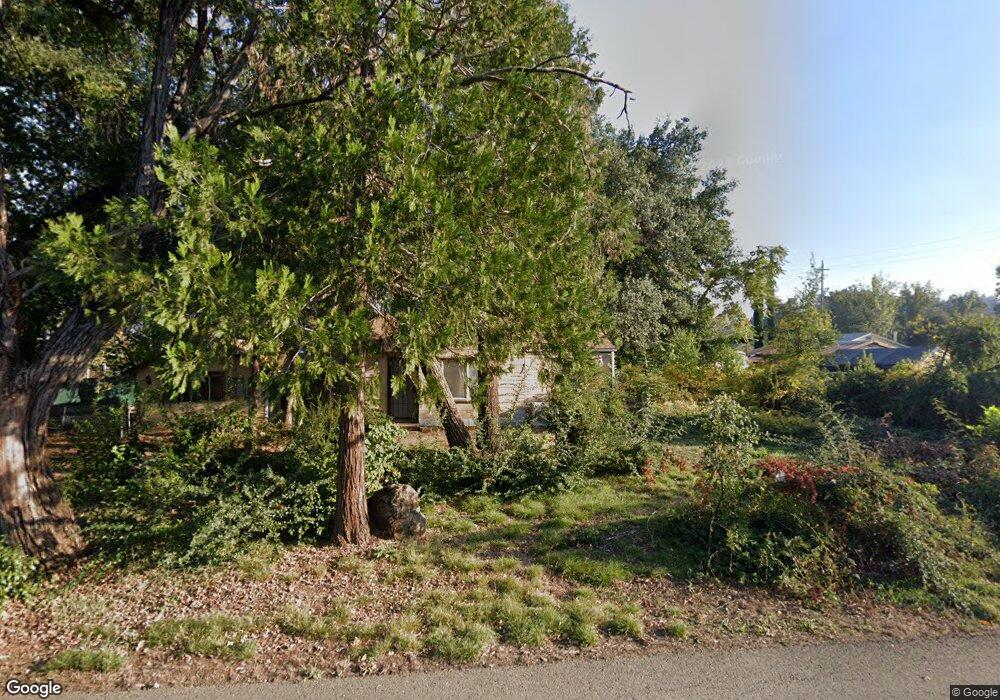
18799 Thomas Rd Anderson, CA 96007
Estimated Value: $156,000 - $242,000
About This Home
This home is located at 18799 Thomas Rd, Anderson, CA 96007 and is currently estimated at $212,899, approximately $243 per square foot. 18799 Thomas Rd is a home with nearby schools including Meadow Lane Elementary School, Anderson Heights Elementary School, and Anderson Middle School.
Ownership History
We collect this data history from publicly available records. To have your information removed, we recommend requesting removal directly through your county’s website.
Purchase Details
Home Financials for this Owner
Home Financials are based on the most recent Mortgage that was taken out on this home.Purchase Details
Purchase History
We collect this data history from publicly available records. To have your information removed, we recommend requesting removal directly through your county’s website.
| Date | Buyer | Sale Price | Title Company |
|---|---|---|---|
| $130,000 | Placer Title | ||
| -- | Placer Title Company |
Mortgage History
We collect this data history from publicly available records. To have your information removed, we recommend requesting removal directly through your county’s website.
| Date | Status | Borrower | Loan Amount |
|---|---|---|---|
| Open | $129,500 |
Tax History
We collect this data history from publicly available records. To have your information removed, we recommend requesting removal directly through your county’s website.
| Year | Tax Paid | Tax Assessment Tax Assessment Total Assessment is a certain percentage of the fair market value that is determined by local assessors to be the total taxable value of land and additions on the property. | Land | Improvement |
|---|---|---|---|---|
| 2025 | $1,473 | $135,252 | $31,212 | $104,040 |
| 2024 | $1,212 | $132,600 | $30,600 | $102,000 |
| 2023 | $1,212 | $108,425 | $29,447 | $78,978 |
| 2022 | $1,174 | $106,300 | $28,870 | $77,430 |
| 2021 | $939 | $83,433 | $31,609 | $51,824 |
| 2020 | $1,066 | $93,332 | $42,039 | $51,293 |
| 2019 | $1,019 | $91,503 | $41,215 | $50,288 |
| 2018 | $1,004 | $89,709 | $40,407 | $49,302 |
| 2017 | $1,007 | $87,951 | $39,615 | $48,336 |
| 2016 | $934 | $86,228 | $38,839 | $47,389 |
| 2015 | $936 | $84,934 | $38,256 | $46,678 |
| 2014 | -- | $83,271 | $37,507 | $45,764 |
Map
- 6937 Lady Smith Ave
- 7175 Eastside Rd
- 7252 Whitehouse Dr
- 18376 Utility Ave
- 19300 Latona Rd
- 7128 Happy Valley Rd
- 7728 Pit Rd
- 19301 Clover Rd
- 6960 Amber Ridge Dr
- 7100 Milky Way
- 6774 Riverland Dr
- 2652 Brooch Ct
- 19640 Dairyland Dr
- 7253 Legacy
- 19233 W Niles Ln
- 19358 Hill St
- 2494 Delta Place
- 19451 Hill St
- 17908 Strawberry Ln
- 8741 Prospectors Rd
- 18791 Thomas Rd
- 7186 Highway 273
- 6945 Ladysmith Ave
- 7042 California 273
- 7042 State Highway 273
- 6937 Ladysmith Ave
- 6950 Lady Smith Ave
- 18798 Thomas Rd
- 6940 Ladysmith Ave
- 7006 Banigan Rd
- 6978 Ladysmith Ave
- 7006 State Highway 273
- 6913 Ladysmith Ave
- 18767 Thomas Rd
- 18775 Thomas Rd
- 6924 Ladysmith Ave
- 6913 Lady Smith Ave
- 6998 California 273
- 6998 Highway 273
- 6978 Lady Smith Ave
Ask me questions while you tour the home.