188 Asbury Way Dalton, GA 30721
Estimated Value: $187,000 - $366,000
--
Bed
1
Bath
1,348
Sq Ft
$190/Sq Ft
Est. Value
About This Home
This home is located at 188 Asbury Way, Dalton, GA 30721 and is currently estimated at $255,609, approximately $189 per square foot. 188 Asbury Way is a home located in Whitfield County with nearby schools including Varnell Elementary School, Coahulla Creek High School, and Cedar Valley Christian Academy.
Ownership History
Date
Name
Owned For
Owner Type
Purchase Details
Closed on
Apr 10, 2008
Sold by
Not Provided
Bought by
Hedden Randy and Hedden Sandra
Current Estimated Value
Purchase Details
Closed on
Oct 1, 1997
Bought by
Hedden Gladys
Create a Home Valuation Report for This Property
The Home Valuation Report is an in-depth analysis detailing your home's value as well as a comparison with similar homes in the area
Home Values in the Area
Average Home Value in this Area
Purchase History
| Date | Buyer | Sale Price | Title Company |
|---|---|---|---|
| Hedden Randy | -- | -- | |
| Hedden Randy | -- | -- | |
| Hedden Gladys | -- | -- |
Source: Public Records
Tax History Compared to Growth
Tax History
| Year | Tax Paid | Tax Assessment Tax Assessment Total Assessment is a certain percentage of the fair market value that is determined by local assessors to be the total taxable value of land and additions on the property. | Land | Improvement |
|---|---|---|---|---|
| 2024 | $1,072 | $62,198 | $5,762 | $56,436 |
| 2023 | $1,072 | $42,780 | $4,538 | $38,242 |
| 2022 | $683 | $31,725 | $3,985 | $27,740 |
| 2021 | $684 | $31,725 | $3,985 | $27,740 |
| 2020 | $695 | $31,725 | $3,985 | $27,740 |
| 2019 | $701 | $31,725 | $3,985 | $27,740 |
| 2018 | $682 | $30,925 | $3,185 | $27,740 |
| 2017 | $682 | $30,925 | $3,185 | $27,740 |
| 2016 | $593 | $28,415 | $3,185 | $25,230 |
| 2014 | $606 | $29,886 | $4,656 | $25,230 |
| 2013 | -- | $29,886 | $4,656 | $25,230 |
Source: Public Records
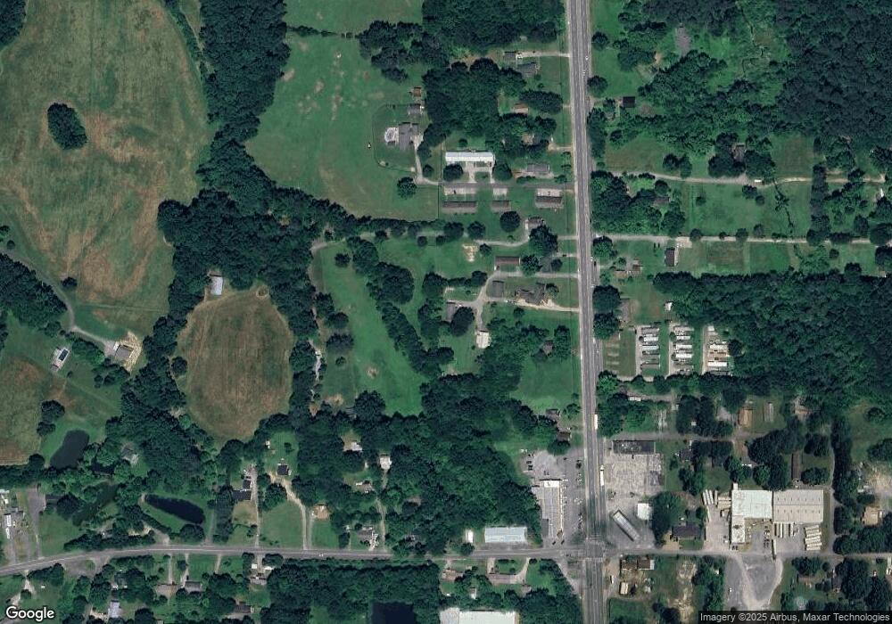
Map
Nearby Homes
- 3025 Cleveland Hwy
- 303 Cherokee Trail NW
- 287 Williams Rd NW
- 3147 Cleveland Hwy
- 106 Albertson Dr
- 1425 Wiggs Dr
- 112 Albertson Dr
- 3216 Cleveland Hwy
- 153 Cochran Dr NE
- 2616 Cleveland Hwy
- 2002 Broadacre Dr NW
- 123 Andros Dr Unit 1B
- 141 Andros Dr
- 143 Andros Drives
- 175 Andros Dr
- The Braselton II Plan at The Andros
- The Manchester II Plan at The Andros
- The Buford II Plan at The Andros
- The Ellison II Plan at The Andros
- The Norwood II Plan at The Andros
- 2995 Cleveland Hwy
- 195 Asbury Way
- 2989 Cleveland Hwy
- 2999 Cleveland Hwy
- 3001 Vicksburg Way
- 2997 Cleveland Hwy
- 2997 Cleveland Hwy
- 2992 Cleveland Hwy
- 130 Williams Rd NW
- 3001 Cleveland Hwy
- 2996 Dietzen Way
- 3011 Cleveland Hwy
- 3007 Cleveland Hwy
- 2978 Cleveland Hwy
- 116 Wiseman Way
- 128 Williams Rd NW
- 2971 Cleveland Hwy
- 0 Cleveland Hwy Unit RTC2773066
- 0 Cleveland Hwy Unit RTC2722635
- 0 Cleveland Hwy Unit RTC2711445