188 Clapp Rd Scituate, MA 02066
Estimated Value: $1,406,660 - $1,741,000
4
Beds
3
Baths
3,200
Sq Ft
$481/Sq Ft
Est. Value
About This Home
This home is located at 188 Clapp Rd, Scituate, MA 02066 and is currently estimated at $1,539,665, approximately $481 per square foot. 188 Clapp Rd is a home located in Plymouth County with nearby schools including Hatherly Elementary School, Lester J. Gates Middle School, and Scituate High School.
Ownership History
Date
Name
Owned For
Owner Type
Purchase Details
Closed on
Jul 31, 2012
Sold by
Relocation Brookfield
Bought by
Capelle David and Capelle Beth
Current Estimated Value
Home Financials for this Owner
Home Financials are based on the most recent Mortgage that was taken out on this home.
Original Mortgage
$384,500
Outstanding Balance
$266,293
Interest Rate
3.74%
Mortgage Type
New Conventional
Estimated Equity
$1,273,372
Create a Home Valuation Report for This Property
The Home Valuation Report is an in-depth analysis detailing your home's value as well as a comparison with similar homes in the area
Home Values in the Area
Average Home Value in this Area
Purchase History
| Date | Buyer | Sale Price | Title Company |
|---|---|---|---|
| Capelle David | $735,000 | -- | |
| Relocation Brookfield | $735,000 | -- |
Source: Public Records
Mortgage History
| Date | Status | Borrower | Loan Amount |
|---|---|---|---|
| Open | Relocation Brookfield | $384,500 |
Source: Public Records
Tax History Compared to Growth
Tax History
| Year | Tax Paid | Tax Assessment Tax Assessment Total Assessment is a certain percentage of the fair market value that is determined by local assessors to be the total taxable value of land and additions on the property. | Land | Improvement |
|---|---|---|---|---|
| 2025 | $11,425 | $1,143,600 | $410,100 | $733,500 |
| 2024 | $11,403 | $1,100,700 | $372,800 | $727,900 |
| 2023 | $11,397 | $1,024,000 | $340,300 | $683,700 |
| 2022 | $11,089 | $878,700 | $298,600 | $580,100 |
| 2021 | $10,740 | $805,700 | $284,400 | $521,300 |
| 2020 | $5,027 | $775,900 | $273,400 | $502,500 |
| 2019 | $10,272 | $747,600 | $268,100 | $479,500 |
| 2018 | $10,217 | $732,400 | $288,200 | $444,200 |
| 2017 | $9,694 | $688,000 | $262,000 | $426,000 |
| 2016 | $9,543 | $674,900 | $248,900 | $426,000 |
| 2015 | $8,670 | $661,800 | $235,800 | $426,000 |
Source: Public Records
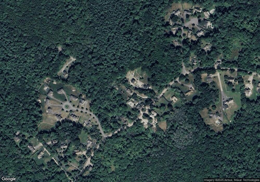
Map
Nearby Homes
- 0 Bates Ln (Lot E Kevin's Way) Unit 73419598
- 449 Clapp Rd
- 455 Clapp Rd
- 453 Clapp Rd
- 451 Clapp Rd
- 453 - 455 Clapp Rd
- 8 Trudys Ln
- 84 Booth Hill Rd
- 11 Forest Ln
- 9 Forest Ln Unit 9
- 9 Kyle Path
- 342 Summer St
- 508 Beechwood St
- 94 Arrowwood Dr
- 334 Summer St
- 40 Brewster Rd
- 99 Doane St
- 817 Country Way
- 575 First Parish Rd
- 392 S Main St
- 188 Clapp Rd
- 184 Clapp Rd
- 204 Clapp Rd
- 189 Clapp Rd
- 185 Clapp Rd
- 2 Studley Farm Rd
- 214 Clapp Rd
- 1 Studley Farm Rd
- 4 Studley Farm Rd
- 177 Clapp Rd
- 21 Bates Ln
- 218 Clapp Rd
- 218 Clapp Rd Unit 1
- 1 Heritage Trail
- 1 Heritage Trail Unit 1
- 0 Bates Ln (Lot E Kevin's Way) Unit 73063407
- 164 Clapp Rd
- 6 Studley Farm Rd
- 6 Studley Farm Rd
- 5 Heritage Trail