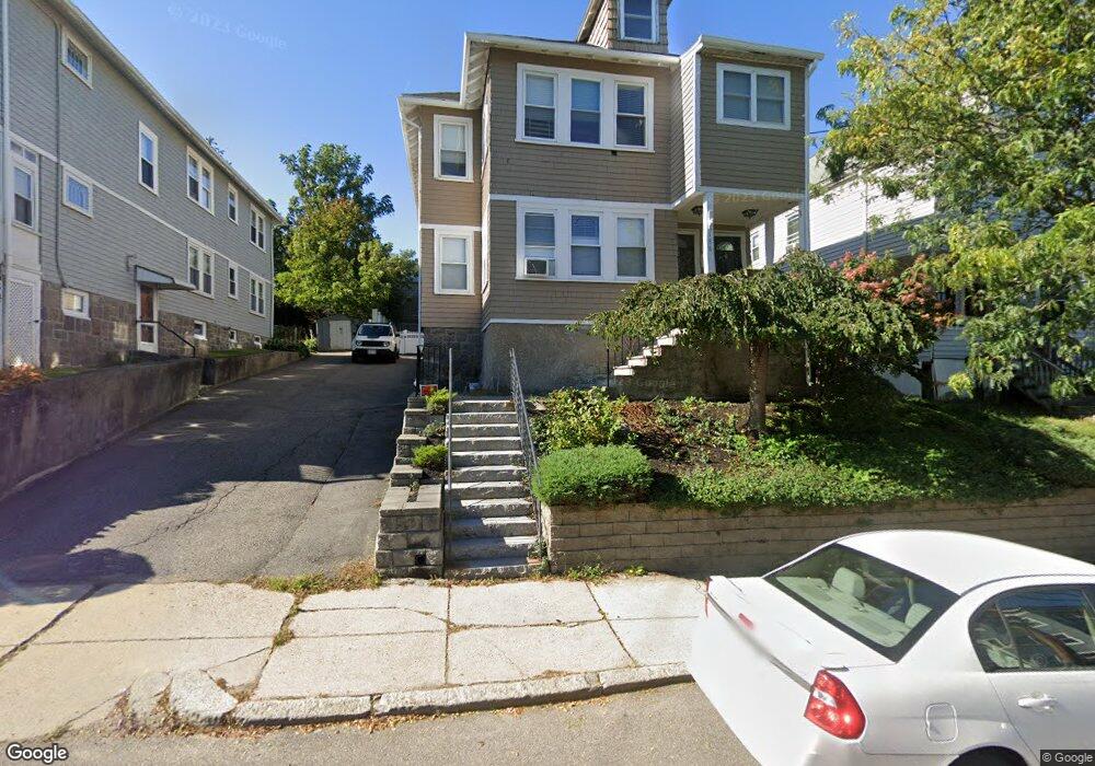
188 Cornell St Roslindale, MA 02131
Roslindale NeighborhoodEstimated Value: $896,000 - $1,000,000
4
Beds
2
Baths
2,550
Sq Ft
$377/Sq Ft
Est. Value
About This Home
This home is located at 188 Cornell St, Roslindale, MA 02131 and is currently estimated at $962,100, approximately $377 per square foot. 188 Cornell St is a home located in Suffolk County with nearby schools including Brooke Charter School Roslindale, Sacred Heart STEM School, and St. Clare High School.
Ownership History
Date
Name
Owned For
Owner Type
Purchase Details
Closed on
Jun 14, 1988
Sold by
Zeolla George N
Bought by
Sybertz Marianthe
Current Estimated Value
Home Financials for this Owner
Home Financials are based on the most recent Mortgage that was taken out on this home.
Original Mortgage
$0
Interest Rate
10.51%
Mortgage Type
Purchase Money Mortgage
Create a Home Valuation Report for This Property
The Home Valuation Report is an in-depth analysis detailing your home's value as well as a comparison with similar homes in the area
Home Values in the Area
Average Home Value in this Area
Purchase History
| Date | Buyer | Sale Price | Title Company |
|---|---|---|---|
| Sybertz Marianthe | $32,350 | -- |
Source: Public Records
Mortgage History
| Date | Status | Borrower | Loan Amount |
|---|---|---|---|
| Closed | Sybertz Marianthe | $0 |
Source: Public Records
Tax History
| Year | Tax Paid | Tax Assessment Tax Assessment Total Assessment is a certain percentage of the fair market value that is determined by local assessors to be the total taxable value of land and additions on the property. | Land | Improvement |
|---|---|---|---|---|
| 2025 | $8,485 | $732,700 | $228,700 | $504,000 |
| 2024 | $7,641 | $701,000 | $239,500 | $461,500 |
| 2023 | $7,238 | $673,900 | $230,200 | $443,700 |
| 2022 | $6,666 | $612,700 | $209,300 | $403,400 |
| 2021 | $6,409 | $600,700 | $205,200 | $395,500 |
| 2020 | $5,778 | $547,200 | $184,800 | $362,400 |
| 2019 | $5,434 | $515,600 | $154,500 | $361,100 |
| 2018 | $5,099 | $486,500 | $154,500 | $332,000 |
| 2017 | $5,049 | $476,800 | $154,500 | $322,300 |
| 2016 | $4,855 | $441,400 | $154,500 | $286,900 |
| 2015 | $4,633 | $382,600 | $143,000 | $239,600 |
| 2014 | $4,297 | $341,600 | $143,000 | $198,600 |
Source: Public Records
Map
Nearby Homes
- 174 Cornell St
- 4464-4468 Washington St
- 5 7 Hemman St
- 124 Glendower Rd Unit 2
- 55 Metropolitan Ave
- 12 Leniston St
- 89 Glendower Rd
- 86 Cornell St Unit 2
- 498 Beech St
- 142 Metropolitan Ave Unit 2
- 142 Metropolitan Ave Unit 1
- 142 Metropolitan Ave
- 6 Hayes Rd Unit 25
- 6 Hayes Rd Unit 10
- 142 Birch St Unit 2
- 142 Birch St Unit 1
- 15 Highfield Rd
- 8 Hillview Ave
- 15 Hillock St Unit 2
- 103 Whitford St
- 190 Cornell St
- 190 Cornell St Unit 2
- 184 Cornell St
- 184 Cornell St Unit 1
- 184 Cornell St Unit 2
- 194 Cornell St Unit 196
- 178 Cornell St
- 42 Cedrus Ave Unit 44
- 38 Cedrus Ave Unit 40
- 198 Cornell St
- 174 Cornell St Unit 1
- 34 Cedrus Ave Unit 36
- 34 Cedrus Ave Unit 2
- 185 Cornell St Unit 3
- 185 Cornell St Unit 2
- 181 Cornell St Unit 183
- 181 Cornell St Unit 1
- 183 Cornell St Unit 2
- 36 Cedrus Ave Unit 1
- 179 Cornell St
Your Personal Tour Guide
Ask me questions while you tour the home.