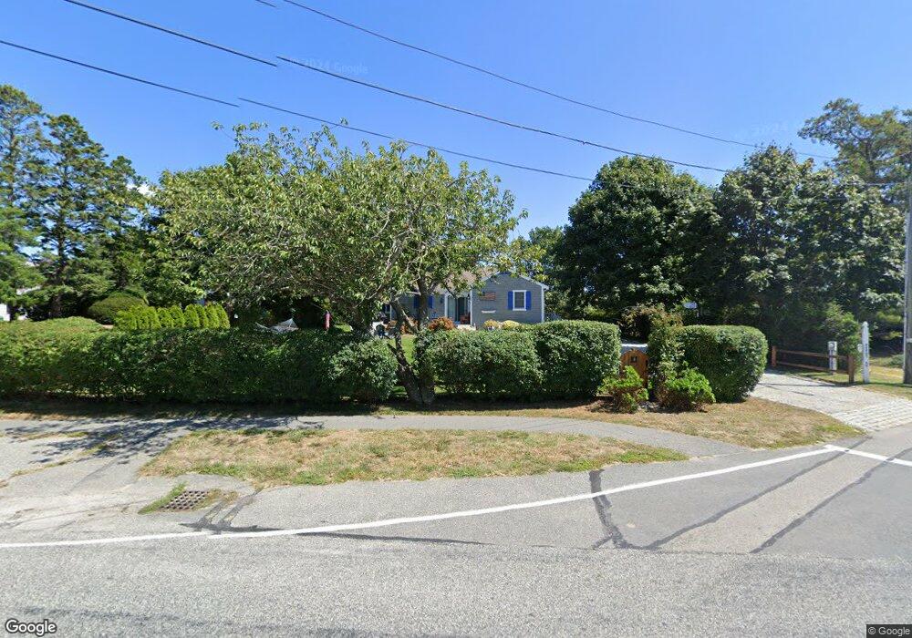
188 Depot St Dennis Port, MA 02639
Dennis Port NeighborhoodEstimated Value: $638,000 - $746,000
3
Beds
2
Baths
1,334
Sq Ft
$519/Sq Ft
Est. Value
About This Home
This home is located at 188 Depot St, Dennis Port, MA 02639 and is currently estimated at $692,429, approximately $519 per square foot. 188 Depot St is a home located in Barnstable County with nearby schools including Dennis-Yarmouth Regional High School and St. Pius X. School.
Ownership History
Date
Name
Owned For
Owner Type
Purchase Details
Closed on
Dec 10, 2019
Sold by
Mcneill Timothy A and Mcneill Brenda M
Bought by
Kelleher Kevin J and Kelleher Suzette M
Current Estimated Value
Home Financials for this Owner
Home Financials are based on the most recent Mortgage that was taken out on this home.
Original Mortgage
$375,600
Outstanding Balance
$331,792
Interest Rate
3.7%
Mortgage Type
New Conventional
Estimated Equity
$360,637
Purchase Details
Closed on
Nov 7, 2003
Sold by
Scavuzzo Carol Est
Bought by
Mcneill Timothy A and Mcneill Brenda M
Home Financials for this Owner
Home Financials are based on the most recent Mortgage that was taken out on this home.
Original Mortgage
$140,000
Interest Rate
6.01%
Mortgage Type
Purchase Money Mortgage
Create a Home Valuation Report for This Property
The Home Valuation Report is an in-depth analysis detailing your home's value as well as a comparison with similar homes in the area
Home Values in the Area
Average Home Value in this Area
Purchase History
| Date | Buyer | Sale Price | Title Company |
|---|---|---|---|
| Kelleher Kevin J | $469,500 | None Available | |
| Mcneill Timothy A | $175,000 | -- |
Source: Public Records
Mortgage History
| Date | Status | Borrower | Loan Amount |
|---|---|---|---|
| Open | Kelleher Kevin J | $375,600 | |
| Previous Owner | Mcneill Timothy A | $140,000 |
Source: Public Records
Tax History Compared to Growth
Tax History
| Year | Tax Paid | Tax Assessment Tax Assessment Total Assessment is a certain percentage of the fair market value that is determined by local assessors to be the total taxable value of land and additions on the property. | Land | Improvement |
|---|---|---|---|---|
| 2025 | $3,122 | $721,000 | $213,600 | $507,400 |
| 2024 | $3,073 | $699,900 | $205,400 | $494,500 |
| 2023 | $2,939 | $629,400 | $186,700 | $442,700 |
| 2022 | $2,802 | $500,400 | $168,200 | $332,200 |
| 2021 | $2,691 | $446,300 | $164,900 | $281,400 |
| 2020 | $2,341 | $383,800 | $152,200 | $231,600 |
| 2019 | $2,221 | $360,000 | $149,200 | $210,800 |
| 2018 | $2,202 | $347,300 | $153,900 | $193,400 |
| 2017 | $2,026 | $329,400 | $142,100 | $187,300 |
| 2016 | $2,006 | $307,200 | $148,000 | $159,200 |
| 2015 | $1,966 | $307,200 | $148,000 | $159,200 |
| 2014 | $1,838 | $289,400 | $130,200 | $159,200 |
Source: Public Records
Map
Nearby Homes
- 159 Center St Unit 22
- 12 Cross St
- 221 Upper County Rd Unit 2A
- 221 Upper County Rd Unit 2A
- 73 Division St
- 26 Manning Rd
- 12 Candlewood Ln Unit 2-9
- 47 Telegraph Rd Unit 1
- 9 Country Ln
- 166 Upper County Rd Unit 1-4
- 141 Division St
- 141 Division St
- 148 Belmont Rd
- 40 Willow St
- 45 Route 28
- 79 Massachusetts 28
- 3 Fairbanks Dr
- 268 Main St
- 72 Bassett Ln
- 102 Sea St
- 33 South St
- 24 South St
- 24 South St Unit A-B-C
- 0 S Depot St
- 97 South St
- 178 Depot St
- 90 Pleasant St
- 173 Depot St
- 181 Depot St
- 43 Mill St
- 174 Depot St
- 18 South St
- 18 South St Unit 2-8
- 18 South St Unit 2-7
- 18 South St Unit 2-6
- 18 South St Unit 2-5
- 18 South St Unit 2-4
- 18 South St Unit 2-3
- 18 South St Unit 2-2
- 18 South St Unit 2-1